Showmystreet is an open source web application that allows users to report and view local problems like potholes, broken streetlights, graffiti, etc. on an interactive map. It aims to make it easy for citizens to improve their neighbourhoods by reporting issues to their local cou
Showmystreet: Open Source Neighborhood Reporting | showmystreet
Open source web application for reporting and viewing local problems on an interactive map, empowering citizens to improve their neighborhoods
What is Showmystreet?
Showmystreet is an open source web application developed by mySociety that enables citizens to report, view, and discuss local issues in their area. Users can pinpoint problems like potholes, broken streetlights, graffiti, rubbish dumping, etc. on an interactive map and submit reports to their local councils.
Some key features of Showmystreet include:
Intuitive map interface to pinpoint location of issues
Photo upload so users can provide visual evidence
Structured report format covering key details
Automated routing of reports to relevant local authority
Email notifications when reports are updated
Discussion forum for community engagement
Open API for integration with other apps/websites
Mobile-friendly responsive design
By making it easy for anyone to report local problems, Showmystreet aims to promote civic participation and empower citizens to improve their neighbourhoods. It also provides local councils with structured actionable information to better target resources and enhance community services. Overall, Showmystreet facilitates greater civic engagement between citizens and government for better communities.
Showmystreet Features
Features
Interactive map to view and report local issues
Ability for citizens to submit photos and descriptions of problems
Dashboard for local councils to manage and respond to reports
Open data API for accessing report data
Works on mobile and desktop devices
Pricing
Open Source
Pros
Free and open source
Empowers citizens to improve their neighborhoods
Makes it easy to report issues to local councils
Fosters transparency and civic engagement
Cons
Relies on local councils using and responding to platform
Requires critical mass of users to be effective
Limited customization and support compared to paid options
Google Maps is a web mapping platform and consumer application offered by Google. It offers satellite imagery, aerial photography, street maps, 360° interactive panoramic views of streets, real-time traffic conditions, and route planning for traveling by foot, car, bicycle and air, or public transportation.Key features of Google Maps include:Interactive street...
Modest Maps is an open source JavaScript mapping library designed for easily embedding interactive maps into web pages. Some key features of Modest Maps include:Lightweight and customizable - Only about 6KB when minified and gzippedSupports various map tile sources including OpenStreetMap, MapQuest, and CloudMadeProvides API for basic interactions like panning,...
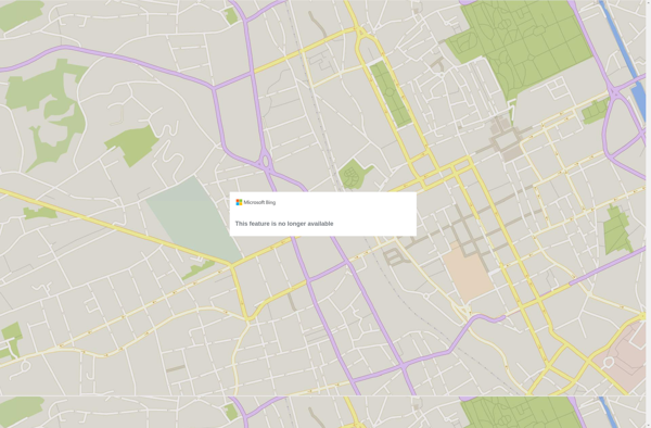
Bing Maps 3D is a 3D mapping platform from Microsoft that provides interactive maps and location intelligence services. It is part of the Bing Maps product suite.Some key features of Bing Maps 3D include:Interactive 3D map views with support for aerial, road, and hybrid map stylesAbility to incorporate 3D maps...
Apple Maps is a web mapping service developed by Apple Inc. It was introduced in 2012 with iOS 6 as a replacement for Google Maps on Apple devices. Apple Maps offers turn-by-turn navigation, interactive panoramic street views, Flyover mode for photorealistic 3D views of certain cities, support for transit routing...
TransforMap is a free, open-source mind mapping and brainstorming software. It allows users to visually organize ideas, tasks, projects, and other information with the flexibility of a mind map interface.With TransforMap, users can:Create branching mind maps to break down large concepts and projects into an organized structureConnect related topics, ideas,...
Leaflet is an open-source JavaScript library for building web mapping applications. Here is a more detailed overview:- Leaflet is designed with simplicity, performance and usability in mind. It offers easy integration with other mapping libraries and APIs.- The library is extremely lightweight at only about 38 KB, which allows for...
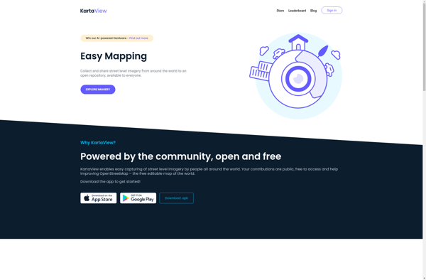
Kartaview is an open-source web mapping platform designed for visualizing, analyzing, and sharing geospatial data. Some key features of Kartaview include:Interactive map building - Easily create custom web maps with layers, markers, drawing tools, and more.Data visualization - Visualize geospatial datasets such as GeoJSON, shapefiles, spreadsheets, and more with intuitive...
TomTom MyDrive is a free desktop and mobile app that interfaces with TomTom GPS navigation devices to provide expanded features and functionality. With MyDrive, users can plan routes and destinations on their computer, tablet, or phone and seamlessly send that information to their TomTom device.Key features of TomTom MyDrive include:Updated...
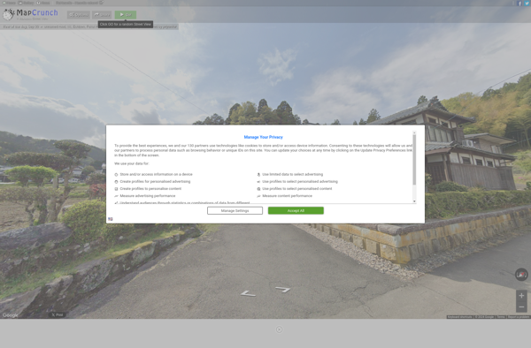
MapCrunch is a website that offers a unique way to explore satellite and street view imagery from locations across the globe. It works by teleporting users to a random spot on the map with each click, showing panoramic 360 degree street views or bird's eye satellite photos of that area.Some...
Random Street View is a simple yet engaging website that displays random Google Street View panoramas from locations around the world. With just the click of a button, you are transported to faraway places like the streets of Tokyo, the African savanna, or a sleepy village in Italy.The interface is...
RepresentMap is an open-source web application for creating interactive maps and data visualizations. It allows users to upload their own geospatial data sets such as shapefiles, GeoJSON files, CSVs, etc. and instantly visualize them on a map.Some of the key features of RepresentMap include:Support for different types of choropleth maps,...