MapCrunch
MapCrunch is a website that allows users to explore satellite and street view imagery from around the world randomly. It's useful for virtual tourism and exploring new places.
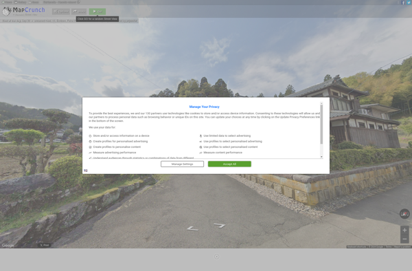
MapCrunch: Explore Satellite & Street View Imagery
Discover new places with random satellite and street view imagery exploration on MapCrunch, a unique virtual tourism tool
What is MapCrunch?
MapCrunch is a website that offers a unique way to explore satellite and street view imagery from locations across the globe. It works by teleporting users to a random spot on the map with each click, showing panoramic 360 degree street views or bird's eye satellite photos of that area.
Some key features of MapCrunch include:
- Ability to be instantly transported to a random location anywhere in the world with satellite or street view imagery
- Option to specify a country or region to focus the random locations
- Zoom and panning capabilities once a location is reached to explore further
- Display of location coordinates and nearest town/city to situate yourself
- Links to open the spot in Google Maps for additional details
- Handy for virtual tourism, learning geography, exploring unknown towns and cities, or even getting inspiration for travel
With its simple premise and endless possibilities of new landscapes to discover, MapCrunch taps into our innate curiosity about the world around us. It's an engaging way to go on adventures from the comfort of your screen.
MapCrunch Features
Features
- Allows users to view random locations on Google Maps street view
- Provides satellite imagery for random locations around the world
- Has options to filter locations by country or region
- Shows information like coordinates and nearest city for each location
- Has a teleport mode to jump to new random spots quickly
- Allows saving favorite locations to revisit later
Pricing
- Freemium
Pros
Fun, interactive way to explore the world virtually
Good for getting a sense of different places and cultures
Can inspire travel ideas and bucket list locations
Easy to use with no account required
Cons
Limited control over where it takes you
Not all areas have street view available
Satellite imagery may be outdated in some locations
Can only be used to look, not to navigate or plan trips
Official Links
Reviews & Ratings
Login to ReviewThe Best MapCrunch Alternatives
Top Travel & Location and Map & Navigation and other similar apps like MapCrunch
Here are some alternatives to MapCrunch:
Suggest an alternative ❐GeoGuessr
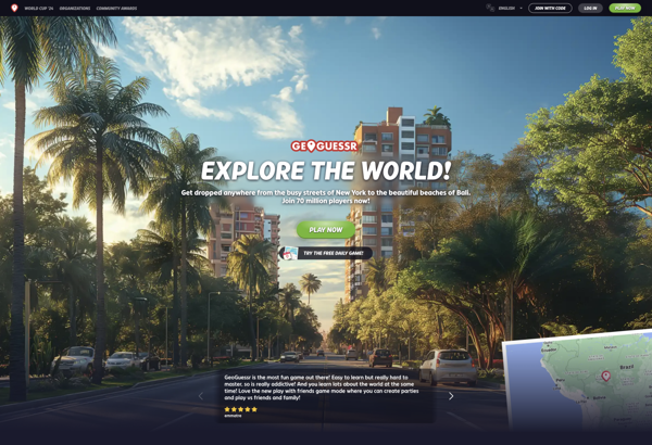
GeoGuessr is an online geography game developed by Anton Wallén that launched in 2013. The game utilizes Google Street View to drop players randomly across the world, where they must figure out exactly where they have been placed using visual clues from the surroundings.When starting a game, GeoGuessr generates a...
City Guesser
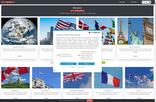
City Guesser is an online geography game designed to test and expand users' knowledge of cities around the world. Players are presented with images showing landscape views or famous landmarks in various cities, and are tasked with identifying each city by clicking its location on an interactive map.With over 1,000...
Geotastic
Geotastic is a user-friendly, web-based geographic information system (GIS) software designed specifically for classroom use. It empowers educators to create engaging, standards-aligned lessons by building interactive maps that promote geographic understanding.With an easy-to-use interface, teachers can upload locations, add customized markers, lines, shapes, images, videos, and quizzes to any map....
Showmystreet
Showmystreet is an open source web application developed by mySociety that enables citizens to report, view, and discuss local issues in their area. Users can pinpoint problems like potholes, broken streetlights, graffiti, rubbish dumping, etc. on an interactive map and submit reports to their local councils.Some key features of Showmystreet...
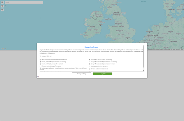
Kartaview
Kartaview is an open-source web mapping platform designed for visualizing, analyzing, and sharing geospatial data. Some key features of Kartaview include:Interactive map building - Easily create custom web maps with layers, markers, drawing tools, and more.Data visualization - Visualize geospatial datasets such as GeoJSON, shapefiles, spreadsheets, and more with intuitive...
GTA GeoGuesser
GTA GeoGuesser is an online geoguessing game made by fans of the popular Grand Theft Auto (GTA) video game series published by Rockstar Games. In the game, players are randomly dropped into a location somewhere within one of the highly detailed open worlds from the GTA games.Using visual clues from...

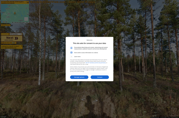
Random Street View
Random Street View is a simple yet engaging website that displays random Google Street View panoramas from locations around the world. With just the click of a button, you are transported to faraway places like the streets of Tokyo, the African savanna, or a sleepy village in Italy.The interface is...
GeoQuiz
GeoQuiz is an interactive geography learning software targeted at middle school and high school students. It helps students master geography concepts like country locations, capital cities, flags, borders, physical geography features, and more through engaging quizzes and maps.The software includes a world map where students can click on any country...
