Geotastic
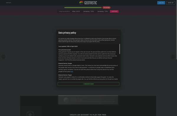
Geotastic: Web-Based GIS Software for Educators
Interactive maps for history, geography, science, and more - create engaging lessons with Geotastic's web-based geographic information system (GIS) software
What is Geotastic?
Geotastic is a user-friendly, web-based geographic information system (GIS) software designed specifically for classroom use. It empowers educators to create engaging, standards-aligned lessons by building interactive maps that promote geographic understanding.
With an easy-to-use interface, teachers can upload locations, add customized markers, lines, shapes, images, videos, and quizzes to any map. Students can then access the maps on any device with internet capabilities to engage actively with the content.
Key features of Geotastic include:
- Intuitive map creation tools requiring no prior GIS experience
- Custom markers, lines, shapes to highlight important information
- Capability to embed or upload images, videos, text, and hyperlinks
- Interactive quizzes and assessments
- Public and private sharing options to collaborate with other teachers
- Accessibility on any device with a browser
Whether you're teaching history, geography, sciences or any subject with geographic ties, Geotastic gives you an easy way to build interactive, multimedia maps that will engage your students. Its versatile features support differentiated instruction and active learning across grade levels and abilities.
Geotastic Features
Features
- Create interactive maps
- Add points, lines, shapes, images, videos and quizzes to maps
- Collaborative editing
- Share maps publicly or restrict access
- Import/export maps
- Mobile-friendly interface
Pricing
- Freemium
- Subscription-Based
Pros
Cons
Official Links
Reviews & Ratings
Login to ReviewThe Best Geotastic Alternatives
Top Education & Reference and Teaching Tools and other similar apps like Geotastic
Here are some alternatives to Geotastic:
Suggest an alternative ❐GeoGuessr

City Guesser

TimeGuessr

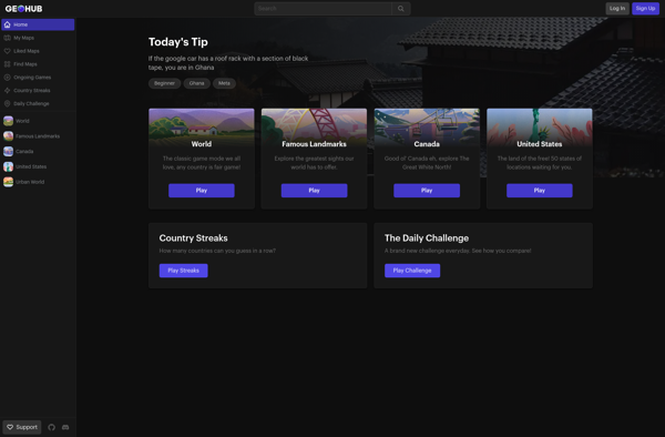
GeoHub
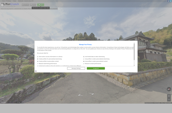
MapCrunch
GtaGuessr
GTA GeoGuesser

Gidd.io

GeoQuiz

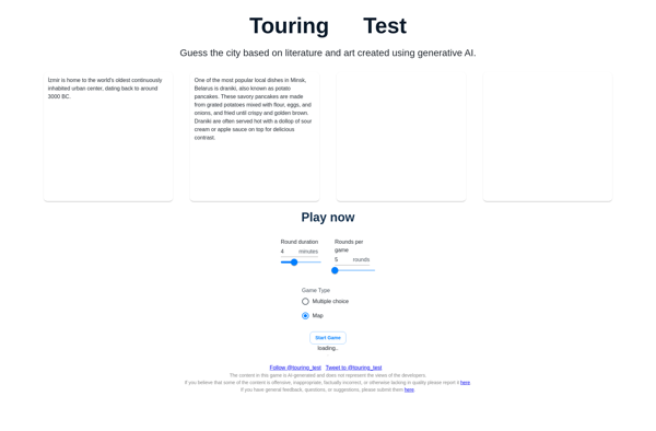
Touring Test
