GeoQuiz

GeoQuiz

GeoQuiz is an educational geography software designed for students to test their geography knowledge. It features interactive maps and quizzes covering countries, capitals, flags, physical geography, and more.
GeoQuiz image
education geography quiz maps students learning

GeoQuiz: Educational Geography Software

GeoQuiz is an educational geography software designed for students to test their geography knowledge. It features interactive maps and quizzes covering countries, capitals, flags, physical geography, and more.

What is GeoQuiz?

GeoQuiz is an interactive geography learning software targeted at middle school and high school students. It helps students master geography concepts like country locations, capital cities, flags, borders, physical geography features, and more through engaging quizzes and maps.

The software includes a world map where students can click on any country to test their knowledge of its capital, flag, location and borders. There are different quiz modes like multiple choice questions, typing the answer, or locating places on a map. Quizzes can be taken in study mode for practice or test mode to evaluate progress.

GeoQuiz also contains interactive thematic maps focused on physical geography like rivers, mountain ranges, climate zones etc. Students can click on any location to reveal facts and figures to gain deeper insight. The activities track student performance allowing teachers to identify weaker areas.

The software aims to make learning geography fun through competitive quiz challenges and rewards to motivate students. It can be used in classrooms, for homework assignments, or independent study. GeoQuiz provides detailed reports to teachers on individual as well as class progress to evaluate effectiveness.

GeoQuiz Features

Features

  1. Interactive maps
  2. Multiple choice quizzes
  3. Flashcard study mode
  4. Customizable quizzes
  5. Progress tracking
  6. Badge/reward system

Pricing

  • Freemium

Pros

Engaging interface

Reinforces geography knowledge

Self-paced learning

Provides feedback on progress

Appeals to visual learners

Cons

Can feel repetitive

Limited customization options

Requires supplementing with other resources

Not enough variation in quiz types


The Best GeoQuiz Alternatives

Top Education & Reference and Geography and other similar apps like GeoQuiz


GeoGuessr icon

GeoGuessr

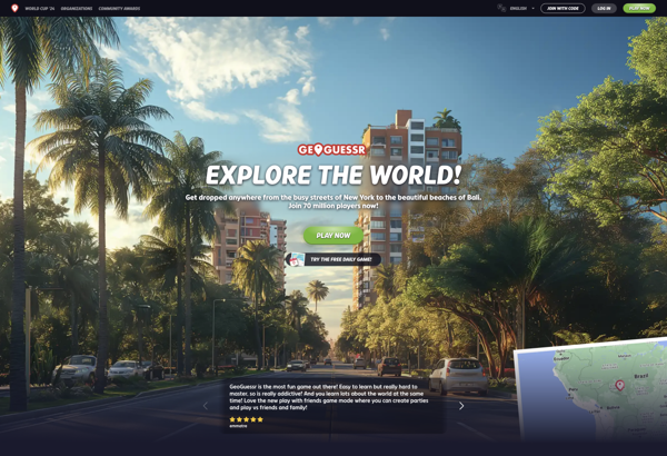
GeoGuessr is an online geography game developed by Anton Wallén that launched in 2013. The game utilizes Google Street View to drop players randomly across the world, where they must figure out exactly where they have been placed using visual clues from the surroundings.When starting a game, GeoGuessr generates a...
GeoGuessr image
City Guesser icon

City Guesser

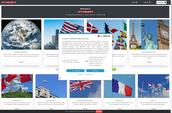
City Guesser is an online geography game designed to test and expand users' knowledge of cities around the world. Players are presented with images showing landscape views or famous landmarks in various cities, and are tasked with identifying each city by clicking its location on an interactive map.With over 1,000...
City Guesser image
TimeGuessr  icon

TimeGuessr

TimeGuessr is an entertaining online game that tests and expands your knowledge of history. The game shows you historical photos one at a time, and you have to guess the year each photo was taken.As you make guesses, TimeGuessr reveals whether you were too high or too low, allowing you...
TimeGuessr  image
GeoHub icon

GeoHub

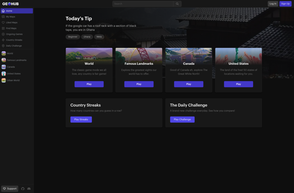
GeoHub is an open-source platform designed for organizations to easily publish, discover, access and manage geospatial data. It serves as a centralized geospatial data hub to improve data sharing and collaboration.Some key features and capabilities of GeoHub include:Searchable metadata catalog for discovering available geospatial datasetsTools for publishing, editing and managing...
GeoHub image
Geotastic icon

Geotastic

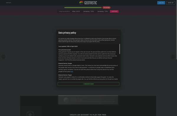
Geotastic is a user-friendly, web-based geographic information system (GIS) software designed specifically for classroom use. It empowers educators to create engaging, standards-aligned lessons by building interactive maps that promote geographic understanding.With an easy-to-use interface, teachers can upload locations, add customized markers, lines, shapes, images, videos, and quizzes to any map....
Geotastic image
MapCrunch icon

MapCrunch

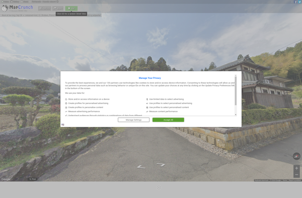
MapCrunch is a website that offers a unique way to explore satellite and street view imagery from locations across the globe. It works by teleporting users to a random spot on the map with each click, showing panoramic 360 degree street views or bird's eye satellite photos of that area.Some...
MapCrunch image
Touring Test icon

Touring Test

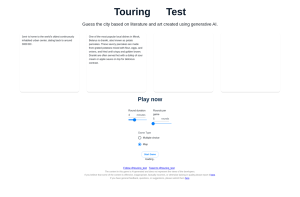
The Touring Test, also referred to as the Imitation Game, is a test devised by Alan Turing in 1950 to determine whether a computer can exhibit intelligent behavior equivalent or indistinguishable from that of a human. In the test, a human interrogator converses with a computer and a human via...
Touring Test image