Zoom Earth
Zoom Earth: Interactive Global Map
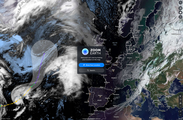
Zoom Earth is an interactive real-time map of the Earth that uses satellite imagery and other data to let users zoom in from space all the way to street level. Users can track storms, wildfires, weather patterns, city landscapes, and more by panning and zooming around the globe.
What is Zoom Earth?
Zoom Earth is an interactive, real-time map of the planet that uses high-resolution satellite imagery and other geographical data to create a detailed and customizable view of locations around the world. Users can zoom in from space all the way to street level, tracking everything from weather systems to city landscapes.
With intuitive pinch-to-zoom gestures, users can easily home in on any place on Earth to explore its terrain, structures, and activity patterns. Custom overlays display wildfires, storms, cloud cover, snow depth, and other variables. Time controls also let users watch sunrises, sunsets, city lights turning on and off, and more.
In addition to exploring, Zoom Earth can be used to monitor developing natural disasters like hurricanes or volcanic eruptions. Students can use it to study geography and map reading. Armchair travelers can scout out potential vacation destinations or check in on iconic landmarks. It offers a versatile window into both natural and human activity around the world.
Updated in near real-time with new satellite imagery and environmental data, Zoom Earth provides an immersive way to visualize and interact with the planet we live on, appreciating humanity's footprint as well as the power and beauty of nature.
Zoom Earth Features
Features
- Interactive map of Earth
- Real-time satellite imagery
- Zoom from space to street level
- Track storms, wildfires, weather patterns
- Pan and zoom around the globe
Pricing
- Freemium
Pros
Cons
Official Links
Reviews & Ratings
Login to ReviewThe Best Zoom Earth Alternatives
View all Zoom Earth alternatives with detailed comparison →
Top Remote Work & Education and Video Conferencing and other similar apps like Zoom Earth
Here are some alternatives to Zoom Earth:
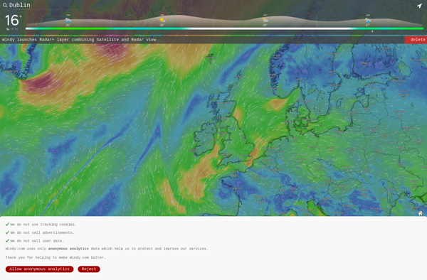
Suggest an alternative ❐Windy
Google Earth

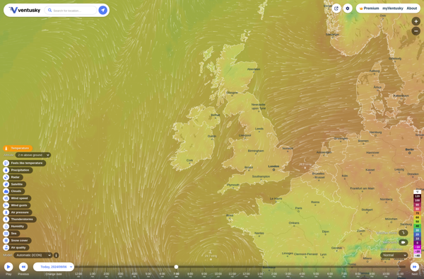
Ventusky
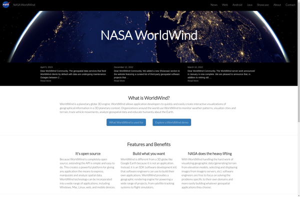
NASA World Wind
Earth Browser
Marble

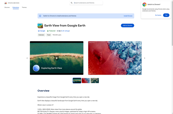
Earth View from Google Earth
MapSphere

Flash Earth