MapQuery is an open-source geographic information system (GIS) software for viewing, editing, and analyzing spatial data. It offers user-friendly tools for creating maps, performing spatial analysis, and managing geographic data.
MapQuery is an open-source geographic information system (GIS) software for viewing, editing, and analyzing spatial data. It offers user-friendly tools for creating maps, performing spatial analysis, and managing geographic data.
What is MapQuery?
MapQuery is an open-source desktop geographic information system (GIS) software application used for viewing, editing, and analyzing spatial data. Developed by the Oregon Department of Transportation, MapQuery provides a user-friendly interface and tools for working with maps and geographic information.
Key features of MapQuery include:
Interactive map display with zooming, panning, and layer control capabilities
Support for importing and exporting a variety of vector and raster spatial data formats
Advanced editing tools for creating and modifying feature geometry and attributes
Spatial analysis functions such as buffering, overlay, and network analysis
High-quality cartographic map production and printing
Extensible architecture that can be customized via add-ons and scripts
Completely free and open-source under the GNU GPL license
With its ease-of-use and versatile GIS capabilities, MapQuery is well-suited for transportation planning and asset management applications. It runs on Linux, Windows, and Mac platforms, providing an accessible option for organizations with basic GIS needs, such as creating maps, viewing and editing data, and performing spatial analysis.
MapQuery Features
Features
Viewing and navigating spatial data
Editing and modifying geographic features
Performing spatial analysis and geoprocessing tasks
Google Maps is a web mapping platform and consumer application offered by Google. It offers satellite imagery, aerial photography, street maps, 360° interactive panoramic views of streets, real-time traffic conditions, and route planning for traveling by foot, car, bicycle and air, or public transportation.Key features of Google Maps include:Interactive street...
Google Earth is a geobrowser that accesses satellite and aerial imagery, ocean bathymetry, and other geographic data over the internet to represent the Earth as a three-dimensional globe. It was originally developed by Keyhole, Inc., a company acquired by Google in 2004.Google Earth allows users to search for addresses and...
OsmAnd (OpenStreetMap Automated Navigation Directions) is a free and open-source mobile map and navigation application developed for Android and iOS devices. It relies entirely on detailed, community-driven maps from the OpenStreetMap project and allows accessing them offline without an internet connection.Some of the key features and capabilities of OsmAnd include:Turn-by-turn...
OpenStreetMap (OSM) is a collaborative project to create a free and editable map of the world. Unlike proprietary map data from companies like Google or Apple, OSM map data is open and licensed under the Open Database License (ODbL), which allows anyone to use, modify, and distribute the data freely.The...
HERE WeGo is a free map and navigation app developed by HERE Technologies for iOS and Android devices. It allows users to navigate by car, public transportation, foot or bike using turn-by-turn voice guided directions. Key features of HERE WeGo include:Offline maps - Download maps to your device so you...
Apple Maps is a web mapping service developed by Apple Inc. It was introduced in 2012 with iOS 6 as a replacement for Google Maps on Apple devices. Apple Maps offers turn-by-turn navigation, interactive panoramic street views, Flyover mode for photorealistic 3D views of certain cities, support for transit routing...
Leaflet is an open-source JavaScript library for building web mapping applications. Here is a more detailed overview:- Leaflet is designed with simplicity, performance and usability in mind. It offers easy integration with other mapping libraries and APIs.- The library is extremely lightweight at only about 38 KB, which allows for...
Yandex Maps is a free online map service developed by Yandex, a Russian multinational technology company specializing in Internet-related services and products. Yandex Maps offers highly detailed and searchable maps, turn-by-turn navigation, public transit information, traffic data, and 360-degree panoramic street view images for over 220 countries around the world.The...
2GIS is a popular free map, local search and business directory mobile app and website operating in over 1800 cities across Russia, CIS, Europe, Asia and other countries. It offers detailed interactive maps, local business listings, navigation, reviews and other local information.Some key features of 2GIS include:Detailed vector maps for...
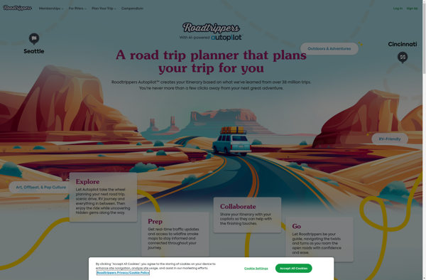
Roadtrippers is a popular road trip planning and navigation app and website. It allows users to easily map out road trip routes, find interesting stops and places to stay along the way, and estimate drive times and fuel costs.Some key features of Roadtrippers include:A database of over 1.5 million attractions,...