OpenStreetMap
OpenStreetMap: Free Crowdsourced Map of the Worlds
Free, open-source, crowd-sourced map of the world. Volunteers collect map data using GPS devices, aerial imagery, local knowledge, and other free sources to create and update the map database.
What is OpenStreetMap?
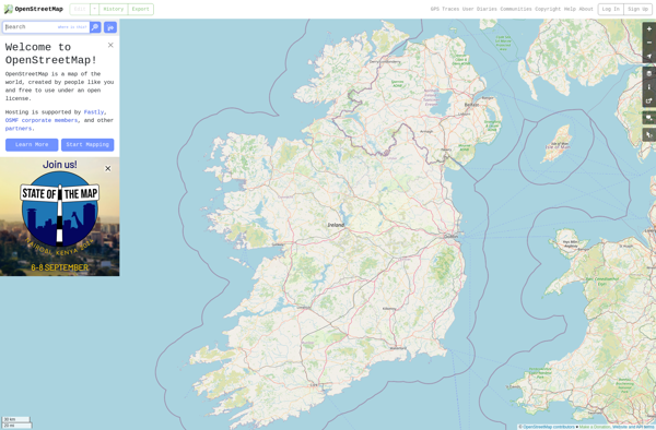
OpenStreetMap (OSM) is a collaborative project to create a free and editable map of the world. Unlike proprietary map data from companies like Google or Apple, OSM map data is open and licensed under the Open Database License (ODbL), which allows anyone to use, modify, and distribute the data freely.
The OSM database contains geographical data such as streets, buildings, natural features, and more. This vector data can visualize maps with features like roads, land use areas, elevation contours, political boundaries, and points of interest. The database is built and maintained by a global community of mappers who contribute and update data using aerial imagery, GPS tracks, local knowledge, and field surveys.
Some key advantages of OpenStreetMap over other mapping platforms include the following:
- Free to use and share - No restrictive or expensive licensing
- Very detailed maps - Millions of points of interest and roads in OSM database
- Frequently updated - Thousands of improvements daily by OSM editors
- Customizable - Data can be modified and styled as needed
- Community-driven platform - Created by and for the users
The OSM database can power a wide variety of mapping applications. Websites like OpenStreetMap.org provide tile maps using OSM data. Developers can also build custom maps, routing services, geospatial analysis tools, and more powered by OSM data. Major companies like Apple, Facebook, Microsoft, and Wikipedia all use OpenStreetMap data in their own maps and services.
OpenStreetMap Features
Features
- Crowd-sourced map data
- Open data licensed under ODbL
- Worldwide geographic data
- Ability to edit and update data
- Variety of data types like roads, buildings, points of interest
- Customizable map rendering
Pricing
- Open Source
Pros
Cons
Official Links
Reviews & Ratings
Login to ReviewThe Best OpenStreetMap Alternatives
Top Travel & Location and Maps & Navigation and other similar apps like OpenStreetMap
Here are some alternatives to OpenStreetMap:
Suggest an alternative ❐Google Maps

Google Earth
Waze
MAPS.ME
OsmAnd
HERE WeGo

Modest Maps

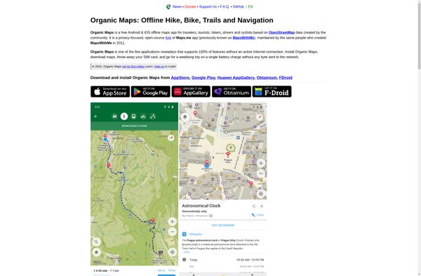
Organic Maps
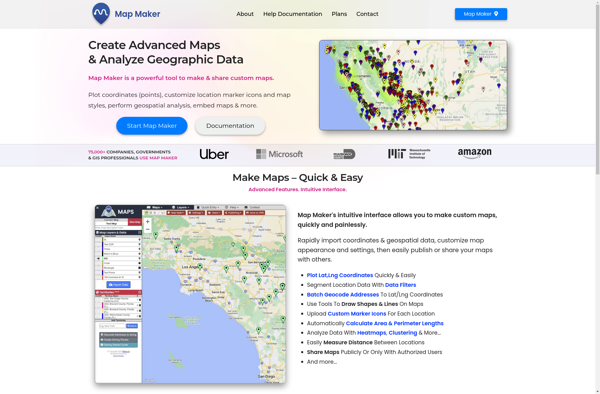
Map Maker
Uebermaps
Arcane Maps
Apple Maps
ViaMichelin
TransforMap

Mapcarta
MapQuest
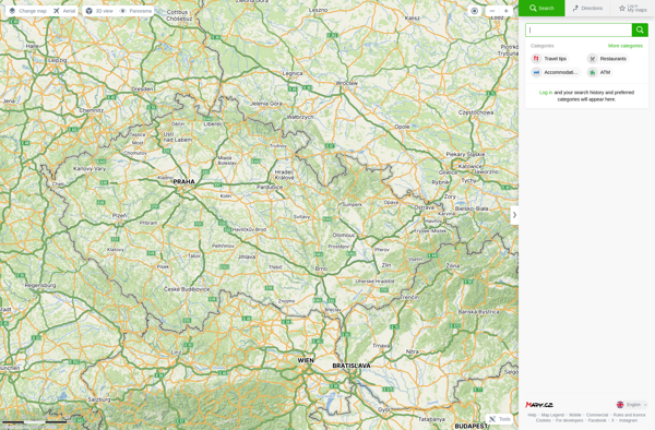
Mapy.cz
Planet Labs
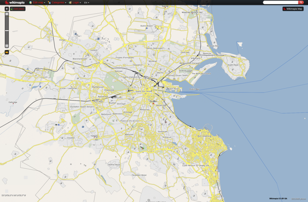
Wikimapia
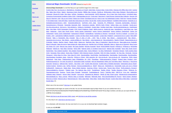
Universal Maps Downloader
Map Pad

CityMaps2Go
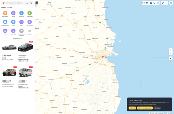
Yandex Maps
TomTom MyDrive

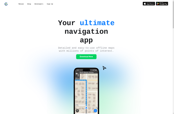
Guru Maps
Qwant Maps
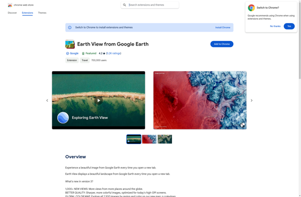
Earth View from Google Earth
Mapline

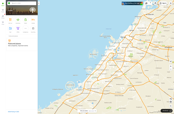
2GIS
Calimoto

Pixel Map Generator
MapSphere

Gabbermap
Transportr

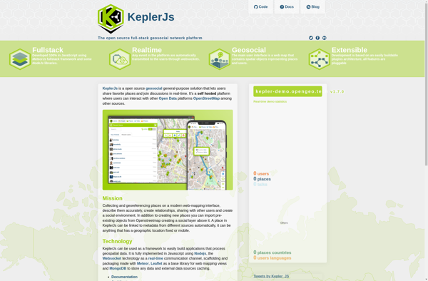
KeplerJs
GMap.NET
Google Map Maker
Google Maps Go
UMP-pcPL

OffRoad OSM
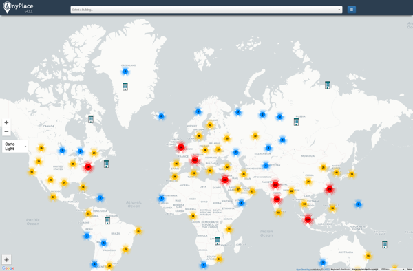
Anyplace
Yahoo! Maps

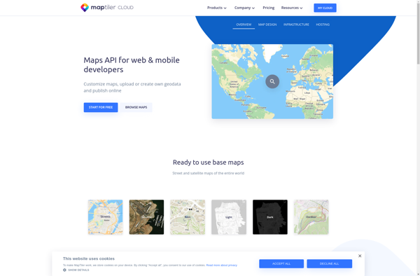
MapTiler Cloud
Emerillon
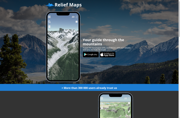
Relief Maps
GeoFlow
Jawg Maps
EyeMaps
Tagzania
MapQuery

Where To Travel Next
Mappy
OpenLevelUp
Doko Maps
Stadia Maps
Wikiroutes
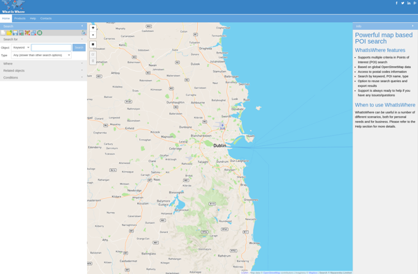
WhatIsWhere
Refuge Restrooms
