Map Maker

Map Maker

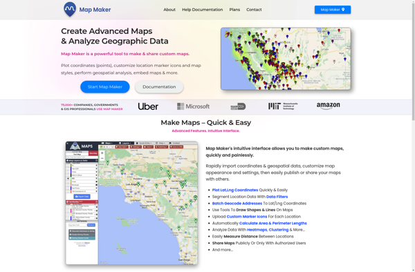
Map Maker is a free, easy-to-use web-based tool for creating custom Google Maps. It allows users to add markers, lines, shapes, and customize maps to suit their needs. Good for basic map making and annotating without geographic information system (GIS) expertise.
Map Maker image
maps annotations customization

Map Maker: Customizable Google Maps Tool

A free, easy-to-use web-based tool for creating custom Google Maps with markers, lines, shapes, and customization options, ideal for basic map making and annotation without GIS expertise.

What is Map Maker?

Map Maker by Google is a free, web-based tool that allows anyone to create custom Google Maps without needing expertise in geographic information systems (GIS). It has an intuitive drag-and-drop interface that makes it easy for users to add their own locations, landmarks, boundaries, lines, shapes, notes, and custom imagery to Google Maps.

Some key features of Map Maker include:

  • Add markers to pinpoint locations like businesses, points of interest, homes, etc.
  • Draw lines and shapes to indicate routes, boundaries, highlight areas, etc.
  • Add notes and imagery to provide more context and information
  • Style maps with custom color schemes for lines, areas, markers, etc.
  • Organize locations and landmarks into layers for easier editing
  • See changes reflected on Google Maps in close to real-time

Map Maker makes it possible for anyone to annotate Google Maps with missing places, landmarks, and details about their neighborhood or any location around the world. It's a helpful way for local guides to improve maps with local knowledge. Businesses can use Map Maker to make sure their locations are properly pinned and information is up-to-date.

While Map Maker gives flexibility to edit maps, Google does moderate user submissions for quality and accuracy before reflecting changes globally. Overall, Map Maker is a convenient starting point for basic custom map making and annotating without needing GIS expertise or advanced cartography skills.

Map Maker Features

Features

  1. Add custom markers, lines, shapes
  2. Import spreadsheets and Fusion Tables
  3. Customize map styles and themes
  4. Share and collaborate on maps
  5. Geocode addresses
  6. Print maps
  7. Export to Google Earth
  8. Mobile-friendly maps

Pricing

  • Free

Pros

Free and easy to use

Intuitive drag-and-drop interface

Real-time collaboration

Integrates with other Google services

No GIS expertise required

Cons

Limited customization and styling options

No advanced GIS capabilities

Data storage limits

Requires Google account

Lacks some features of paid alternatives


The Best Map Maker Alternatives

Top Online Services and Mapping and other similar apps like Map Maker


OpenStreetMap icon

OpenStreetMap

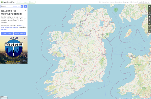
OpenStreetMap (OSM) is a collaborative project to create a free and editable map of the world. Unlike proprietary map data from companies like Google or Apple, OSM map data is open and licensed under the Open Database License (ODbL), which allows anyone to use, modify, and distribute the data freely.The...
OpenStreetMap image
Map Chart icon

Map Chart

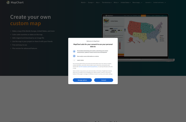
Map Chart is a powerful yet easy-to-use data visualization software designed specifically for creating customized maps. It enables users to visualize various datasets tied to geographic locations on insightful choropleth, bubble and marker maps.The software provides a drag-and-drop interface to map any data across countries, states, regions, postal codes and...
Map Chart image
Mapbox Studio icon

Mapbox Studio

Mapbox Studio is a powerful desktop application for designing custom map styles. It provides a graphical user interface that allows you to visually style vector tiles created with Mapbox tools and services.Some key features of Mapbox Studio include:Import vector tilesets created with Mapbox tools like Mapbox Streets and SatelliteStyle map...
Mapbox Studio image
Felt icon

Felt

Felt is an open-source web-based application for kanban-style project management and task tracking. It provides a visual interface for organizing tasks into pipelines represented as boards, lists, and cards.Some key features of Felt include:Boards to organize projects and track progress across different stagesCustom lists within each board to categorize tasks...
Felt image
Sharemap icon

Sharemap

Sharemap is an open-source web-based mind mapping and brainstorming application. It allows users to create colorful and visually engaging mind maps to organize ideas, concepts, and information. Some of the key features of Sharemap include:Real-time collaboration - Multiple users can work on the same mind map simultaneouslyRich formatting options -...
Sharemap image
Wikimapia icon

Wikimapia

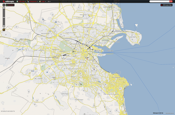
Wikimapia is a free, online map and satellite imaging resource that combines the functionality of Google Maps with a wiki component that allows users to add information, edits, and notes to any location in the world.Launched in 2006, Wikimapia aims to create a highly detailed, user-generated world map. The goal...
Wikimapia image
ZeeMaps icon

ZeeMaps

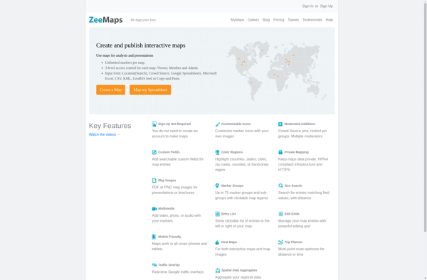
ZeeMaps is an easy-to-use online map creation and sharing application. It allows anyone to create great looking custom maps for free without GIS expertise or design skills.With ZeeMaps, you can add markers, lines, shapes, text notes, images, and videos to your maps to effectively visualize locations, routes, areas and associated...
ZeeMaps image
Google Map Maker icon

Google Map Maker

Google Map Maker was a crowdsourced mapping service launched by Google in 2008. It allowed volunteer mappers to edit and update Google Maps with local geographical information and knowledge. The goal of Map Maker was to harness contributions from the public to improve the accuracy, coverage, and freshness of Google...
Google Map Maker image
Geoclip icon

Geoclip

Geoclip is a user-friendly software solution for creating multimedia-enhanced interactive maps, timelines, and virtual tours. Its key features include:Intuitive drag-and-drop interface for adding and arranging locations, descriptions, images, videos, audio clips, hyperlinks, and more onto customizable maps or timelinesVariety of base maps including road, terrain, satellite, and open street mapsOptions...
Geoclip image