ZeeMaps

ZeeMaps

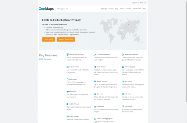
ZeeMaps is an online map creation and sharing tool. It allows users to easily create custom maps by adding markers, lines, shapes, notes, and media. Maps can be shared privately or publicly and embedded into websites.
ZeeMaps image
mapping navigation map-creation map-sharing custom-maps

ZeeMaps: Create Custom Online Maps

Create custom maps with markers, lines, shapes, notes, and media, share privately or publicly, and embed into websites.

What is ZeeMaps?

ZeeMaps is an easy-to-use online map creation and sharing application. It allows anyone to create great looking custom maps for free without GIS expertise or design skills.

With ZeeMaps, you can add markers, lines, shapes, text notes, images, and videos to your maps to effectively visualize locations, routes, areas and associated multimedia content. You have access to 40 unique map styles and symbols to customize your maps.

Maps created with ZeeMaps can be kept private, shared with specific people by invite, or made completely public. Your maps are accessible from any device with an internet connection, and can be embedded into websites and shared on social media.

ZeeMaps provides user-friendly map editing tools for non-experts, while also offering advanced features for power users like importing spreadsheet data to bulk add locations. It's an intuitive and flexible cloud-based mapping platform suitable for education, real estate, tourism, events planning, research projects, and more.

An affordable ZeeMaps subscription unlocks additional features like custom branding/whitelabeling, analytics, data export, priority email support and more storage and maps. However they offer a free plan that meets most basic mapping needs.

ZeeMaps Features

Features

  1. Interactive map creation
  2. Custom map markers
  3. Drawing tools to add lines, shapes
  4. Ability to add text, photos, videos
  5. Collaboration - real-time co-editing
  6. Public and private sharing
  7. Social media integration
  8. Customizable themes
  9. Embeddable maps

Pricing

  • Freemium
  • Subscription-Based

Pros

Intuitive and easy to use interface

Great for visual storytelling

Real-time collaboration

Public and private sharing options

Customizable design and themes

Integrates with other apps and websites

Cons

Limited free version

Can be pricey for heavy usage

Lacks advanced GIS capabilities

Mobile app needs improvement


The Best ZeeMaps Alternatives

Top Online Services and Mapping & Navigation and other similar apps like ZeeMaps


Map Chart icon

Map Chart

Map Chart is a powerful yet easy-to-use data visualization software designed specifically for creating customized maps. It enables users to visualize various datasets tied to geographic locations on insightful choropleth, bubble and marker maps.The software provides a drag-and-drop interface to map any data across countries, states, regions, postal codes and...
Map Chart image
Mapbox Studio icon

Mapbox Studio

Mapbox Studio is a powerful desktop application for designing custom map styles. It provides a graphical user interface that allows you to visually style vector tiles created with Mapbox tools and services.Some key features of Mapbox Studio include:Import vector tilesets created with Mapbox tools like Mapbox Streets and SatelliteStyle map...
Mapbox Studio image
Microsoft MapPoint icon

Microsoft MapPoint

Microsoft MapPoint is a discontinued mapping and geographic information system (GIS) software application. It was developed by Microsoft to help users visualize data on maps, create custom maps, perform geographic analysis, and integrate location intelligence into various business processes and workflows.MapPoint allowed users to import, analyze and map data such...
Microsoft MapPoint image
Mapme icon

Mapme

Mapme is an intuitive and collaborative online mind mapping and brainstorming application. It enables individuals and teams to visually organize ideas, projects, and workflows all in one place.Key features of Mapme include:Real-time collaboration - Work together on mindmaps at the same time for seamless brainstorming sessionsDiagramming and visualization - Easily...
Mapme image
YourMapp icon

YourMapp

YourMapp is an easy-to-use mind mapping and brainstorming software. It enables individuals and teams to visually organize ideas, concepts, notes, images, documents and internet links in flexible non-linear mind maps.Key features include:Intuitive drag-and-drop interface for quickly creating mind mapsHierarchical trees to organize topics into parent/child relationshipsNotes, links, images and documents...
YourMapp image
Map Maker icon

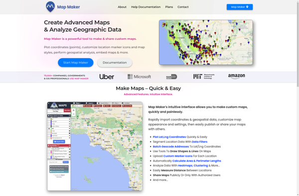
Map Maker

Map Maker by Google is a free, web-based tool that allows anyone to create custom Google Maps without needing expertise in geographic information systems (GIS). It has an intuitive drag-and-drop interface that makes it easy for users to add their own locations, landmarks, boundaries, lines, shapes, notes, and custom imagery...
Map Maker image
BatchGEO icon

BatchGEO

BatchGEO is an open-source web application designed specifically for analyzing and visualizing Gene Expression Omnibus (GEO) data. It provides an intuitive graphical user interface that allows researchers to easily query, compare, visualize and analyze GEO datasets without writing any code.Some key features of BatchGEO include:Intuitive search and filtering options to...
BatchGEO image
Felt icon

Felt

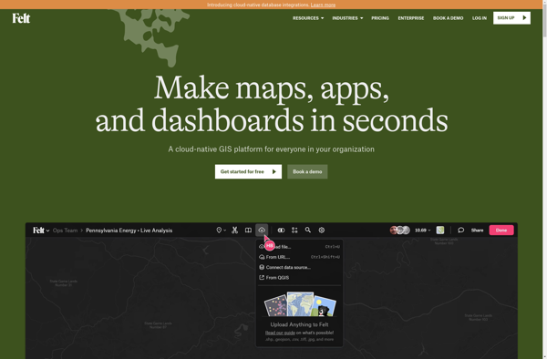
Felt is an open-source web-based application for kanban-style project management and task tracking. It provides a visual interface for organizing tasks into pipelines represented as boards, lists, and cards.Some key features of Felt include:Boards to organize projects and track progress across different stagesCustom lists within each board to categorize tasks...
Felt image
Sharemap icon

Sharemap

Sharemap is an open-source web-based mind mapping and brainstorming application. It allows users to create colorful and visually engaging mind maps to organize ideas, concepts, and information. Some of the key features of Sharemap include:Real-time collaboration - Multiple users can work on the same mind map simultaneouslyRich formatting options -...
Sharemap image
Paintmaps.com icon

Paintmaps.com

Paintmaps.com is a free online painting application that runs directly in your web browser. It allows users to create digital drawings and paintings using a range of brushes, colors, layers, and other tools.Some key features of Paintmaps.com include:Intuitive canvas interface for drawing and paintingVariety of brush types including pencils, pens,...
Paintmaps.com image
TileMill icon

TileMill

TileMill is an open source map design studio developed by MapBox that allows users to quickly and easily create custom interactive maps for the web. It has an intuitive user interface that allows users to import and style map data to create beautiful custom map visualizations.Some key features of TileMill...
TileMill image
Badger Maps icon

Badger Maps

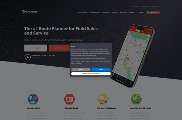
Badger Maps is a cloud-based field service management software designed for small to mid-sized field service businesses. It provides an end-to-end solution to run field operations efficiently with features for scheduling jobs, dispatching technicians, managing customer information, processing payments, tracking work orders, and route optimization.Key features of Badger Maps include:Mobile...
Badger Maps image
Mapline icon

Mapline

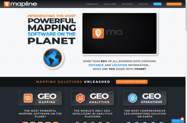
Mapline is an open-source, self-hosted web application that allows users to create custom maps for free. It is an alternative to proprietary services like Google My Maps.Some key features of Mapline include:Ability to add markers, lines, shapes, and text notes to your mapsSupport for multiple layers on a single mapOptions...
Mapline image
EasyMapMaker icon

EasyMapMaker

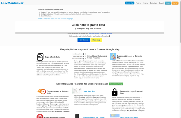
EasyMapMaker is a desktop application used to design interactive maps for web and mobile devices. With an intuitive drag-and-drop interface, EasyMapMaker makes it easy for anyone to create custom maps embedded with rich data.Key features include:Import vector data such as points, lines, polygons, imagery, and terrain from files, databases or...
EasyMapMaker image
Google Map Maker icon

Google Map Maker

Google Map Maker was a crowdsourced mapping service launched by Google in 2008. It allowed volunteer mappers to edit and update Google Maps with local geographical information and knowledge. The goal of Map Maker was to harness contributions from the public to improve the accuracy, coverage, and freshness of Google...
Google Map Maker image
Geoclip icon

Geoclip

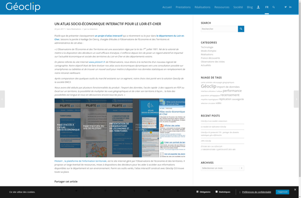
Geoclip is a user-friendly software solution for creating multimedia-enhanced interactive maps, timelines, and virtual tours. Its key features include:Intuitive drag-and-drop interface for adding and arranging locations, descriptions, images, videos, audio clips, hyperlinks, and more onto customizable maps or timelinesVariety of base maps including road, terrain, satellite, and open street mapsOptions...
Geoclip image
Pinmaps.net icon

Pinmaps.net

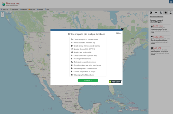
Pinmaps.net is a powerful yet user-friendly web-based mapping application. It allows users to create custom maps with pins, markers, lines, shapes, and rich data popups. Some key features include:Intuitive drag-and-drop interface to add pins, shapes, etc.Custom markers with images and iconsInfo windows and popups to display data and media for...
Pinmaps.net image
Lead Plotter icon

Lead Plotter

Lead Plotter is a comprehensive sales and marketing automation platform designed to help teams manage the entire lead-to-customer journey. It provides an intuitive drag-and-drop interface to visualize sales funnels and map out customized workflows to nurture leads and guide them through the buyer's journey.Key features include:Visual campaign builder to create...
Lead Plotter image
Tagmap icon

Tagmap

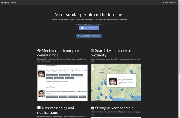
Tagmap is a versatile mind mapping and brainstorming software for organizing ideas and information visually. It enables users to create colorful, tag-based maps to capture thoughts, make associations, organize research, take notes, plan projects, and more.Key features include:Intuitive drag and drop interface for easily building mapsHundreds of professionally designed map...
Tagmap image
Map Kit Framework icon

Map Kit Framework

The Map Kit Framework is an iOS and macOS SDK that allows developers to embed interactive maps and location-based services into their applications with ease. Developed by Apple, it integrates tightly with Apple's platforms and devices, providing efficient use of system resources.Some key capabilities offered by Map Kit include:Displaying standard,...
Map Kit Framework image