EasyMapMaker is a software for creating custom interactive maps. It allows users to import geographic data and imagery to design professional maps with tooltips, markers, lines and shapes. EasyMapMaker maps can be embedded online or exported.
A software for creating custom interactive maps with geographic data, imagery, tooltips, markers, lines and shapes, embeddable online or exportable
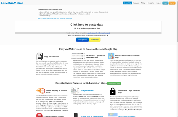
What is EasyMapMaker?
EasyMapMaker is a desktop application used to design interactive maps for web and mobile devices. With an intuitive drag-and-drop interface, EasyMapMaker makes it easy for anyone to create custom maps embedded with rich data.
Key features include:
Import vector data such as points, lines, polygons, imagery, and terrain from files, databases or web services
Style maps with customizable symbols, labels, tooltips, thematic mapping, and more
Add interactivity with hover-over tooltips, clickable markers and regions
Share maps publicly or privately embed on websites, blogs and apps
Export to multiple formats like PDF, image, HTML or JSON
EasyMapMaker provides both geographic data editing and design capabilities to build highly customizable, professional maps. An integrated gallery allows discovering and adding quality community maps into your own projects.
With an easy learning curve, EasyMapMaker is accessible to every skill level from students to enterprise teams. Pricing starts with a free tier and scales from basic to advanced capabilities on premium plans.
EasyMapMaker Features
Features
Import and visualize geographic data
Design interactive maps with tooltips, markers, lines and shapes
Mapbox Studio is a powerful desktop application for designing custom map styles. It provides a graphical user interface that allows you to visually style vector tiles created with Mapbox tools and services.Some key features of Mapbox Studio include:Import vector tilesets created with Mapbox tools like Mapbox Streets and SatelliteStyle map...
Mapme is an intuitive and collaborative online mind mapping and brainstorming application. It enables individuals and teams to visually organize ideas, projects, and workflows all in one place.Key features of Mapme include:Real-time collaboration - Work together on mindmaps at the same time for seamless brainstorming sessionsDiagramming and visualization - Easily...
YourMapp is an easy-to-use mind mapping and brainstorming software. It enables individuals and teams to visually organize ideas, concepts, notes, images, documents and internet links in flexible non-linear mind maps.Key features include:Intuitive drag-and-drop interface for quickly creating mind mapsHierarchical trees to organize topics into parent/child relationshipsNotes, links, images and documents...
Mapotic is an open-source, self-hosted alternative to Mapbox that provides developers and designers with tools for creating interactive maps. Some key features of Mapotic include:Ability to design custom base maps with Mapnik and CartoCSSSupport for overlaying vector and raster map tiles from various sourcesTools for visualizing, analyzing, and processing geospatial...
BatchGEO is an open-source web application designed specifically for analyzing and visualizing Gene Expression Omnibus (GEO) data. It provides an intuitive graphical user interface that allows researchers to easily query, compare, visualize and analyze GEO datasets without writing any code.Some key features of BatchGEO include:Intuitive search and filtering options to...
Map3 is a versatile mind mapping and brainstorming software used to visually organize ideas, concepts, notes, and tasks. With Map3, users can create flexible and free-flowing maps to connect thoughts and information.Some key features and capabilities of Map3 include:Tree, org chart, flowchart map views to structure informationTagging and searching maps...
Felt is an open-source web-based application for kanban-style project management and task tracking. It provides a visual interface for organizing tasks into pipelines represented as boards, lists, and cards.Some key features of Felt include:Boards to organize projects and track progress across different stagesCustom lists within each board to categorize tasks...
eSpatial is an open-source desktop geographic information system (GIS) software application used for working with maps and geographic information. It allows users to view, edit, create, and analyze spatial data, and produce maps and other visualizations.Some key features of eSpatial include:Interactive map display with support for pan, zoom, identify, measure,...
Mapline is an open-source, self-hosted web application that allows users to create custom maps for free. It is an alternative to proprietary services like Google My Maps.Some key features of Mapline include:Ability to add markers, lines, shapes, and text notes to your mapsSupport for multiple layers on a single mapOptions...
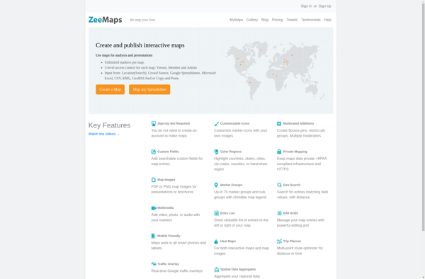
ZeeMaps is an easy-to-use online map creation and sharing application. It allows anyone to create great looking custom maps for free without GIS expertise or design skills.With ZeeMaps, you can add markers, lines, shapes, text notes, images, and videos to your maps to effectively visualize locations, routes, areas and associated...
MapAList is a versatile mind mapping and list creation software for visualizing ideas and information. With an intuitive drag-and-drop interface, MapAList makes it easy to organize concepts into mind maps, concept maps, outlines, flowcharts, org charts, and standard lists.Key features of MapAList include:Diverse diagram types - Create tree, flowchart, org...
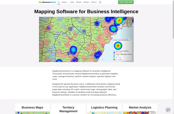
MapBusinessOnline.com is an all-in-one local SEO software designed to help businesses manage their online presence across various directories, maps, and review sites.It allows businesses to:Claim and optimize listings on 50+ sites like Google My Business, Apple Maps, Bing, Facebook, Yelp, YellowPages, Mapquest and more.Update business name, address, phone, website and...
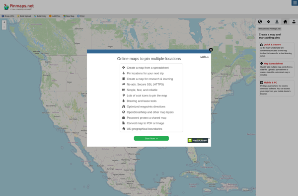
Pinmaps.net is a powerful yet user-friendly web-based mapping application. It allows users to create custom maps with pins, markers, lines, shapes, and rich data popups. Some key features include:Intuitive drag-and-drop interface to add pins, shapes, etc.Custom markers with images and iconsInfo windows and popups to display data and media for...
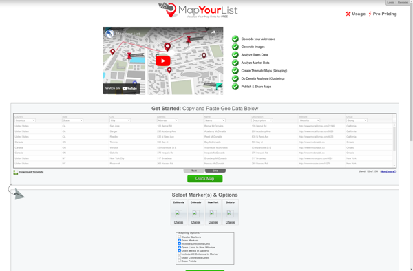
Map Your List is an online mind mapping and brainstorming tool used to visually organize ideas, notes, tasks, and more. With an intuitive drag-and-drop interface, users can quickly create mind maps to structure their thoughts and plans.Key features of Map Your List include:Ability to add ideas, notes, images, links, tasks,...
GeoCommons is an user-friendly, open source mapping and spatial data platform. It provides a web-based interface that allows non-technical users to easily create interactive maps and perform basic spatial analysis without needing to know how to code.Some key features of GeoCommons include:Intuitive drag and drop interface to make custom web...
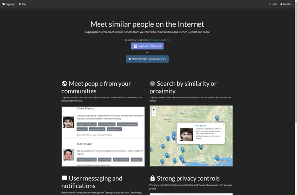
Tagmap is a versatile mind mapping and brainstorming software for organizing ideas and information visually. It enables users to create colorful, tag-based maps to capture thoughts, make associations, organize research, take notes, plan projects, and more.Key features include:Intuitive drag and drop interface for easily building mapsHundreds of professionally designed map...