Badger Maps
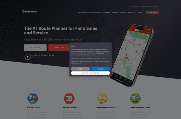
Badger Maps: Field Service Management Software
Badger Maps helps businesses schedule jobs, dispatch techs, track work orders, and manage inventory with mobile apps, routing optimization, customer management tools, and reporting.
What is Badger Maps?
Badger Maps is a cloud-based field service management software designed for small to mid-sized field service businesses. It provides an end-to-end solution to run field operations efficiently with features for scheduling jobs, dispatching technicians, managing customer information, processing payments, tracking work orders, and route optimization.
Key features of Badger Maps include:
- Mobile apps for techs to access schedules, customer details, and receive navigation.
- Job scheduling with drag & drop calendar.
- Automated scheduling and route optimization.
- Customer database to store details and history.
- Invoicing and payment processing.
- Inventory management with parts tracking.
- Status tracking of work orders and technician progress.
- Custom reporting and analytics.
Badger Maps integrates with QuickBooks, Google Calendar, MailChimp among other popular business apps. It has mobile apps for both Android and iOS along with a web dashboard.
With Badger Maps, field service businesses can effectively plan jobs, dispatch techs, provide visibility between office and field staff, keep customers informed, and have data to measure performance. This improves productivity, accountability, customer satisfaction, and operational efficiency.
Badger Maps Features
Features
- Route optimization
- Scheduling and dispatching
- Mobile apps
- Inventory management
- Work order management
- Customer management
- Reporting and analytics
Pricing
- Subscription-Based
Pros
Cons
Official Links
Reviews & Ratings
Login to ReviewThe Best Badger Maps Alternatives
View all Badger Maps alternatives with detailed comparison →
Top Business & Commerce and Field Service Management and other similar apps like Badger Maps
Here are some alternatives to Badger Maps:
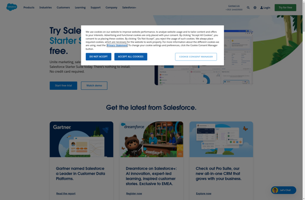
Suggest an alternative ❐Salesforce
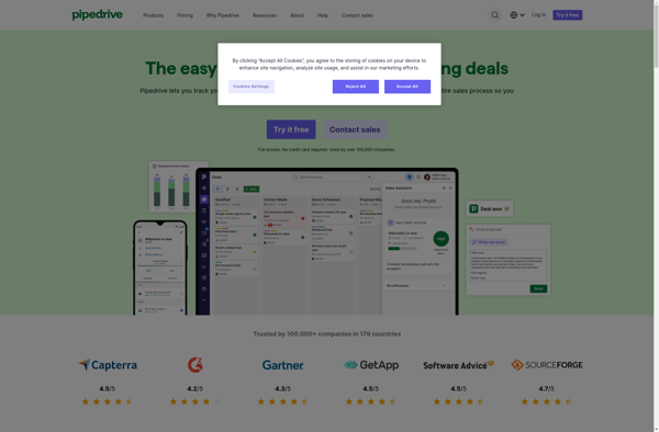
Pipedrive
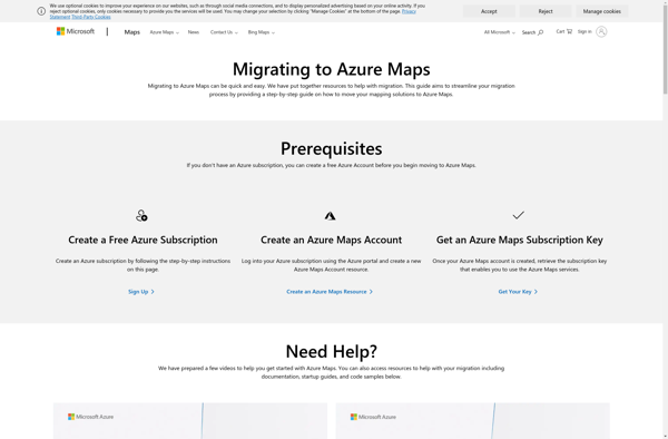
Microsoft MapPoint
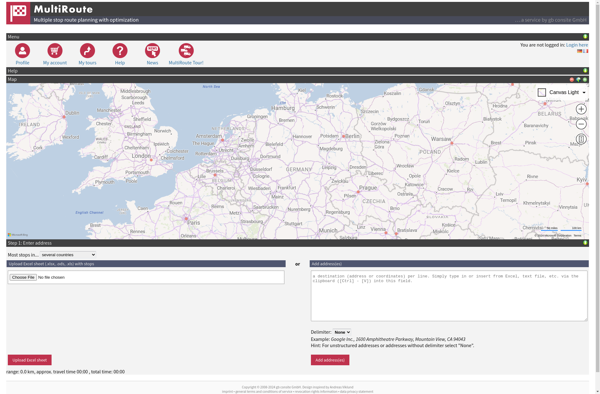
MultiRoute
Google Maps Navigation

BatchGEO

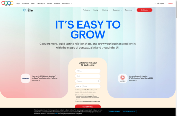
Zoho CRM
Leaflet

MapQuest

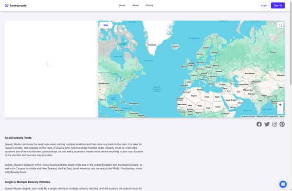
Speedy Route
ESpatial

Maptive

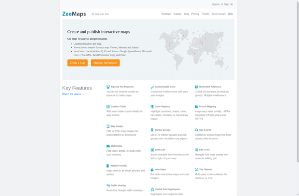
ZeeMaps
Microsoft Streets and Trips
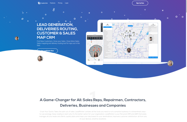
Lead Plotter
ProAlign

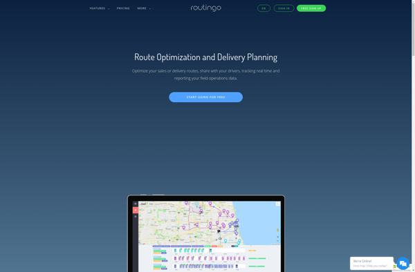
Routingo
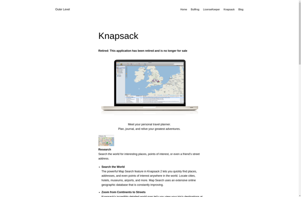
Knapsack
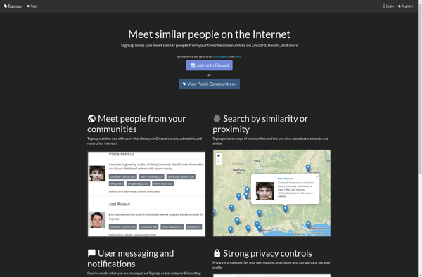
Tagmap
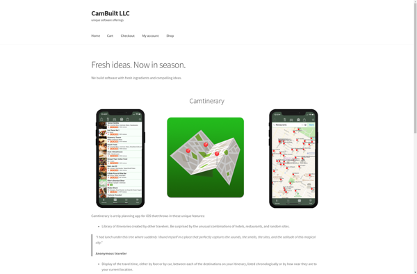
Camtinerary
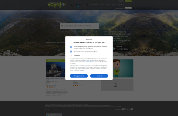
Voyajo
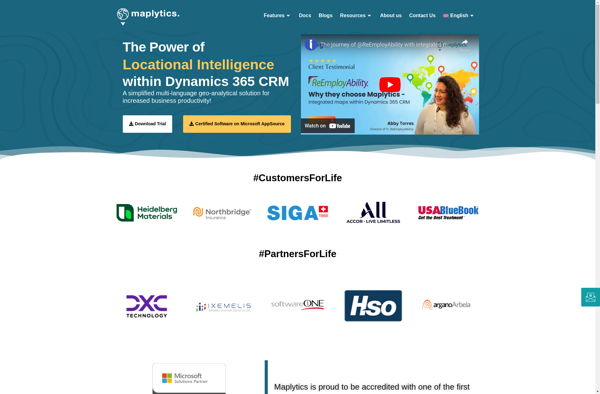
Maplytics