MapQuest is a free online mapping service that provides driving directions, traffic information, route planning, and interactive maps. It competes with Google Maps and Bing Maps.
MapQuest is a free online mapping service that provides driving directions, traffic information, route planning, and interactive maps. It competes with Google Maps and Bing Maps.
What is MapQuest?
MapQuest is a free online mapping service launched in 1996 that provides users with driving directions, traffic conditions, route planning, and interactive maps. It was one of the first and most popular online mapping sites before the rise of Google Maps and Bing Maps.
Key features of MapQuest include:
Driving directions for travel by car in the United States and Canada
Alternate route options to avoid traffic
Point-to-point route planning for longer trips
Interactive maps with satellite imagery, terrain views, and street-level views
Traffic information showing congestion levels on roads
Integration with mobile apps for on-the-go navigation
Printable driving directions and maps
While MapQuest was once the leader in online mapping, its usage and market share declined significantly after the launch of Google Maps in 2005. However, MapQuest still maintains an active user base today of people who prefer its interface or route recommendations over other mapping providers.
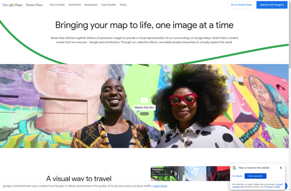
Google Street View is a technology featured in Google Maps and Google Earth that provides interactive panoramic views from positions along many streets in the world. It was launched in 2007 originally only for a few cities in the United States, but has expanded to include cities and rural areas...
Google Maps is a web mapping platform and consumer application offered by Google. It offers satellite imagery, aerial photography, street maps, 360° interactive panoramic views of streets, real-time traffic conditions, and route planning for traveling by foot, car, bicycle and air, or public transportation.Key features of Google Maps include:Interactive street...
Google Earth is a geobrowser that accesses satellite and aerial imagery, ocean bathymetry, and other geographic data over the internet to represent the Earth as a three-dimensional globe. It was originally developed by Keyhole, Inc., a company acquired by Google in 2004.Google Earth allows users to search for addresses and...
Waze is a crowd-sourced GPS navigation and traffic app launched in 2008. It provides turn-by-turn navigation along with real-time traffic updates, road hazard reports, and user-submitted edits of roads and addresses.Key features of Waze include:Real-time traffic updates - Users can report accidents, traffic jams, police traps, etc. to alert other...
OpenStreetMap (OSM) is a collaborative project to create a free and editable map of the world. Unlike proprietary map data from companies like Google or Apple, OSM map data is open and licensed under the Open Database License (ODbL), which allows anyone to use, modify, and distribute the data freely.The...
HERE WeGo is a free map and navigation app developed by HERE Technologies for iOS and Android devices. It allows users to navigate by car, public transportation, foot or bike using turn-by-turn voice guided directions. Key features of HERE WeGo include:Offline maps - Download maps to your device so you...
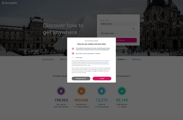
Rome2rio is a popular travel search engine and route planning website and app. It allows users to explore all possible transport options and routes between locations, compare prices across different modes of transport like flights, trains, buses and ferries, and book tickets from its site.Some key features of Rome2rio include:Comprehensive...
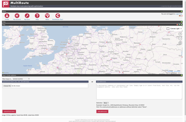
MultiRoute is an advanced route planning and optimization software designed for businesses that dispatch drivers and vehicles to multiple locations. It incorporates powerful algorithms to generate efficient routing and scheduling solutions to reduce miles driven, cut fuel costs, balance workloads, and improve customer service levels.The software allows dispatchers and planners...
Apple Maps is a web mapping service developed by Apple Inc. It was introduced in 2012 with iOS 6 as a replacement for Google Maps on Apple devices. Apple Maps offers turn-by-turn navigation, interactive panoramic street views, Flyover mode for photorealistic 3D views of certain cities, support for transit routing...
Leaflet is an open-source JavaScript library for building web mapping applications. Here is a more detailed overview:- Leaflet is designed with simplicity, performance and usability in mind. It offers easy integration with other mapping libraries and APIs.- The library is extremely lightweight at only about 38 KB, which allows for...
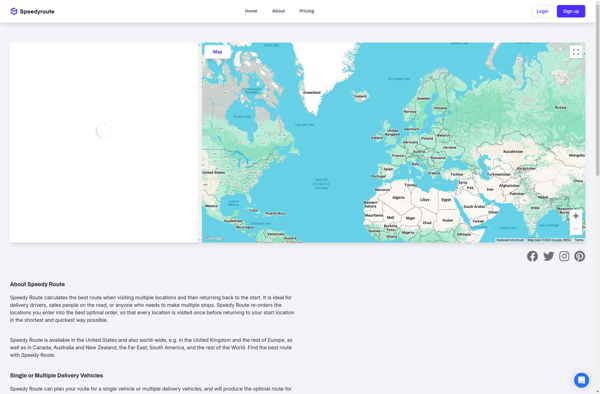
Speedy Route is an advanced route planning and optimization software solution designed specifically for businesses that rely on vehicles to provide services, make deliveries or pickups. It utilizes complex algorithms and geocoding to generate the most time and cost efficient routes possible.The software allows users to input all the required...
BlackBerry Maps is a mobile map application developed by BlackBerry Limited specifically for BlackBerry 10 devices. It comes pre-installed on most BlackBerry 10 smartphones and provides a variety of mapping and navigation features.Some of the key capabilities of BlackBerry Maps include:Turn-by-turn GPS navigation with voice guidanceTraffic information with automatic rerouting...
Map Pad is a free, open-source note-taking and information management software that provides an alternative to commercial options like Microsoft OneNote or Evernote. It uses an interactive and customizable map interface to help users visually organize their notes and information.With Map Pad, all your notes, documents, links and media files...
Yandex Maps is a free online map service developed by Yandex, a Russian multinational technology company specializing in Internet-related services and products. Yandex Maps offers highly detailed and searchable maps, turn-by-turn navigation, public transit information, traffic data, and 360-degree panoramic street view images for over 220 countries around the world.The...
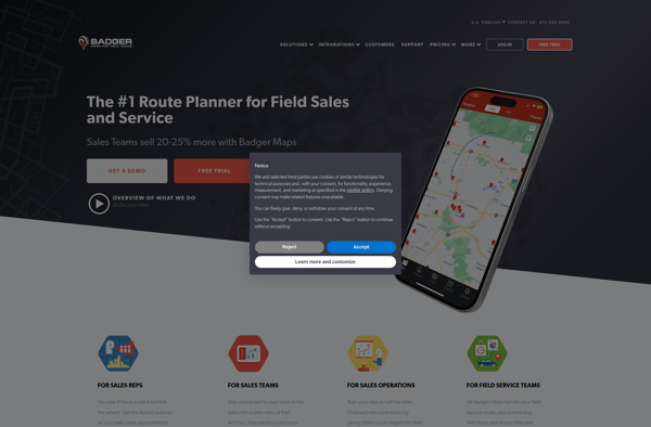
Badger Maps is a cloud-based field service management software designed for small to mid-sized field service businesses. It provides an end-to-end solution to run field operations efficiently with features for scheduling jobs, dispatching technicians, managing customer information, processing payments, tracking work orders, and route optimization.Key features of Badger Maps include:Mobile...
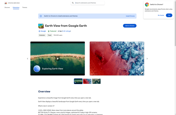
Earth View from Google Earth is a free browser extension available for Chrome, Firefox, and Edge that changes your new tab page to showcase gorgeous satellite photos of places around the world sourced from Google Earth. When you open a new tab, you'll be greeted with a breathtaking high resolution...
2GIS is a popular free map, local search and business directory mobile app and website operating in over 1800 cities across Russia, CIS, Europe, Asia and other countries. It offers detailed interactive maps, local business listings, navigation, reviews and other local information.Some key features of 2GIS include:Detailed vector maps for...
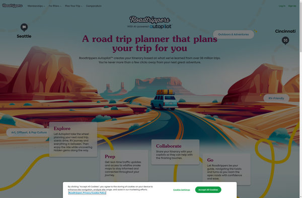
Roadtrippers is a popular road trip planning and navigation app and website. It allows users to easily map out road trip routes, find interesting stops and places to stay along the way, and estimate drive times and fuel costs.Some key features of Roadtrippers include:A database of over 1.5 million attractions,...
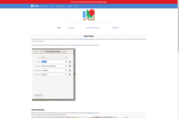
GNOME Maps is a mapping and navigation application built for the Linux GNOME desktop environment. Developed as part of the GNOME project, it is free and open source software.GNOME Maps allows users to view different map layers, including street maps, satellite imagery, and terrain. It has basic functionality like panning...
Hyperlapse Map is a mobile app that makes time-lapse videography simple and accessible. It utilizes a phone's camera and GPS to capture timelapses that can be mapped to the route traveled.To use the app, you simply open it and press record as you walk, drive, or move along any path....
Tripblan is a user-friendly, end-to-end travel planning and booking platform suitable for all types of travelers. With Tripblan, users can:Easily search, compare, and book flights, hotels, vacation rentals, tours & activities, and more across thousands of sitesGet price drop alerts and exclusive travel deals to save moneyCreate customized trip itineraries...
WalkWay Navi is a pedestrian navigation and route planning app for Android and iOS devices. It is designed specifically for walking and public transit navigation in cities and urban areas.Key features of WalkWay Navi include:Turn-by-turn walking directions with voice guidanceOffline vector maps that work without an internet connectionLocal search for...
Yahoo! Maps is a free online map service owned and operated by Yahoo!. It offers interactive maps and satellite/aerial imagery of locations around the world, as well as street-level photography in some areas. Users can get driving, walking, public transit and biking directions, view real-time traffic information, create customized maps,...
MapTiler Cloud is a cloud-based solution that allows users to create, style, optimize and deliver map tiles for web and mobile applications. Some key features include:Upload your own geospatial data like satellite/aerial imagery, DEMs, shapefiles, KMLs etc.Tiling engine that efficiently slices geospatial data into map tiles for zoom levelsMap styling...
Emerillon is a free, open source photo geotagging program for Linux operating systems. It provides an intuitive interface that allows users to easily geotag their collection of photos by plotting points on a map or entering GPS coordinates.Some key features of Emerillon include:Drag-and-drop interface for quickly importing photos.Ability to manually...
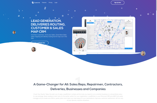
Lead Plotter is a comprehensive sales and marketing automation platform designed to help teams manage the entire lead-to-customer journey. It provides an intuitive drag-and-drop interface to visualize sales funnels and map out customized workflows to nurture leads and guide them through the buyer's journey.Key features include:Visual campaign builder to create...
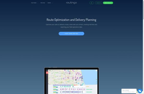
Routingo is an easy-to-use route optimization and planning software designed specifically for small delivery businesses. It streamlines the entire delivery workflow from order to cash in the following ways:- Visualize all addresses and stops on an interactive map. Easily create, edit, organize delivery routes.- Utilizes advanced algorithms to auto-generate the...
Where To Travel Next is an AI-powered travel recommendation platform that aims to take the guesswork out of travel planning. The website prompts users with a series of questions about their budget, previous trips, interests, preferred climate, and more in order to generate a tailored list of destination ideas.Using complex...
Cartogram is an open-source data visualization application developed by the Cartogram team at Michigan State University. It allows users to create cartograms, which are maps that distort geography in order to better visualize quantitative information and statistics.With Cartogram, users can upload a geospatial vector file such as a shapefile, choose...
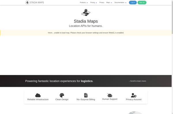
Stadia Maps is a cloud-based mapping and geospatial analytics platform designed for businesses and developers. It provides the ability to easily create interactive maps, visualize location-based data, perform spatial analysis and integrate mapping capabilities into applications.Key features of Stadia Maps include:Intuitive drag-and-drop interface for map creationSupport for different basemaps including...
Inkata is a free, open-source alternative to Microsoft Visio for creating diagrams and vector graphics. As an alternative, Inkata provides many of the key features of Visio at no cost.Like Visio, Inkata is designed specifically for diagramming and includes intuitive tools for creating flowcharts, UML diagrams, network maps, floor plans,...