Stadia Maps
Stadia Maps: Cloud-Based Mapping & Geospatial Analytics
A cloud-based mapping and geospatial analytics platform for creating interactive maps, performing spatial analysis, and visualizing location data through a web browser.
What is Stadia Maps?
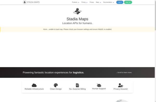
Stadia Maps is a cloud-based mapping and geospatial analytics platform designed for businesses and developers. It provides the ability to easily create interactive maps, visualize location-based data, perform spatial analysis and integrate mapping capabilities into applications.
Key features of Stadia Maps include:
- Intuitive drag-and-drop interface for map creation
- Support for different basemaps including terrain, satellite imagery and street maps
- Importing and visualization of CSV, Excel, GeoJSON and other spatial data formats
- Geocoding and reverse geocoding capabilities
- Spatial analysis tools like heat maps, clustering, buffers and drive time areas
- Customizable data popups with charts, images and links
- APIs and SDKs for integrating maps into web and mobile applications
- Secure cloud hosting and content delivery network for fast map loading
Stadia Maps is optimized for business usage with role-based user permissions, usage metrics, and options for white-labeling maps. Its cloud-native architecture allows the platform to handle large spatial datasets and traffic spikes.
Overall, Stadia Maps provides a full-featured yet easy-to-use SaaS solution for organizations to leverage location intelligence and build mapping applications without investing in expensive GIS servers.
Stadia Maps Features
Features
- Interactive map creation
- Location data visualization
- Spatial analysis tools
- Collaboration features
- Customizable basemaps
- Geocoding
- Routing and navigation
- Geofencing
Pricing
- Freemium
- Subscription-Based
Pros
Cons
Official Links
Reviews & Ratings
Login to ReviewThe Best Stadia Maps Alternatives
Top Travel & Location and Mapping and other similar apps like Stadia Maps
Here are some alternatives to Stadia Maps:
Suggest an alternative ❐Google Maps

OpenStreetMap
Mapbox Studio

Apple Maps
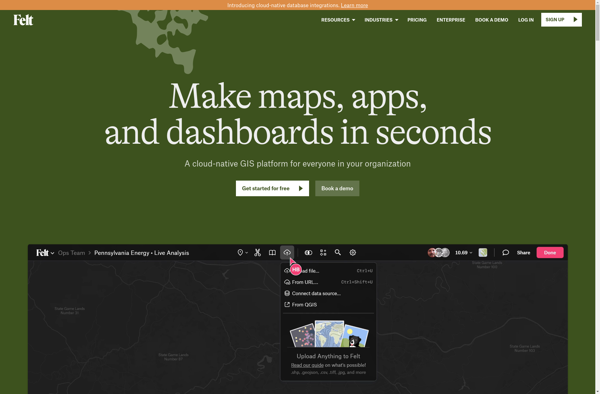
Felt
Leaflet
MapQuest

Yandex Maps
