Yahoo! Maps is a free online map service that provides interactive maps, aerial and street-level imagery, driving directions, and traffic information. Owned by Yahoo!, it competes with other popular mapping services like Google Maps and Bing Maps.
Interactive maps, aerial & street-level imagery, driving directions, traffic info & more - Yahoo! Maps competes with Google Maps & Bing Maps
What is Yahoo! Maps?
Yahoo! Maps is a free online map service owned and operated by Yahoo!. It offers interactive maps and satellite/aerial imagery of locations around the world, as well as street-level photography in some areas. Users can get driving, walking, public transit and biking directions, view real-time traffic information, create customized maps, find local businesses and points of interest, and access current weather and events listings.
Key features of Yahoo! Maps include:
Interactive zoomable maps of the world, with both map and satellite views
Street-level imagery and 360 degree panoramic photos for exploring destinations
Point-to-point driving, walking, biking and public transit directions
Voice guided turn-by-turn navigation
Traffic incident reporting and real-time traffic flow indicators
Local business listings, reviews and information
Integration with other Yahoo services like news, weather, events, etc.
Yahoo! Maps competes primarily with other major online mapping services like Google Maps and Bing Maps. It draws maps and imagery from various data providers as well as Yahoo's own mapping sources. The service is available free to the public through both web browsers and mobile apps.
Yahoo! Maps Features
Features
Interactive maps
Aerial and street-level imagery
Driving directions
Traffic information
Pricing
Free
Pros
Free to use
Provides basic mapping and navigation features
Integrates with other Yahoo! services
Cons
Limited features compared to competitors
Less frequent updates and data improvements than Google Maps
Declining user base as other mapping services become more popular
Google Maps is a web mapping platform and consumer application offered by Google. It offers satellite imagery, aerial photography, street maps, 360° interactive panoramic views of streets, real-time traffic conditions, and route planning for traveling by foot, car, bicycle and air, or public transportation.Key features of Google Maps include:Interactive street...
Google Earth is a geobrowser that accesses satellite and aerial imagery, ocean bathymetry, and other geographic data over the internet to represent the Earth as a three-dimensional globe. It was originally developed by Keyhole, Inc., a company acquired by Google in 2004.Google Earth allows users to search for addresses and...
Waze is a crowd-sourced GPS navigation and traffic app launched in 2008. It provides turn-by-turn navigation along with real-time traffic updates, road hazard reports, and user-submitted edits of roads and addresses.Key features of Waze include:Real-time traffic updates - Users can report accidents, traffic jams, police traps, etc. to alert other...
OpenStreetMap (OSM) is a collaborative project to create a free and editable map of the world. Unlike proprietary map data from companies like Google or Apple, OSM map data is open and licensed under the Open Database License (ODbL), which allows anyone to use, modify, and distribute the data freely.The...
HERE WeGo is a free map and navigation app developed by HERE Technologies for iOS and Android devices. It allows users to navigate by car, public transportation, foot or bike using turn-by-turn voice guided directions. Key features of HERE WeGo include:Offline maps - Download maps to your device so you...
Leaflet is an open-source JavaScript library for building web mapping applications. Here is a more detailed overview:- Leaflet is designed with simplicity, performance and usability in mind. It offers easy integration with other mapping libraries and APIs.- The library is extremely lightweight at only about 38 KB, which allows for...
MapQuest is a free online mapping service launched in 1996 that provides users with driving directions, traffic conditions, route planning, and interactive maps. It was one of the first and most popular online mapping sites before the rise of Google Maps and Bing Maps.Key features of MapQuest include:Driving directions for...
Yandex Maps is a free online map service developed by Yandex, a Russian multinational technology company specializing in Internet-related services and products. Yandex Maps offers highly detailed and searchable maps, turn-by-turn navigation, public transit information, traffic data, and 360-degree panoramic street view images for over 220 countries around the world.The...
2GIS is a popular free map, local search and business directory mobile app and website operating in over 1800 cities across Russia, CIS, Europe, Asia and other countries. It offers detailed interactive maps, local business listings, navigation, reviews and other local information.Some key features of 2GIS include:Detailed vector maps for...
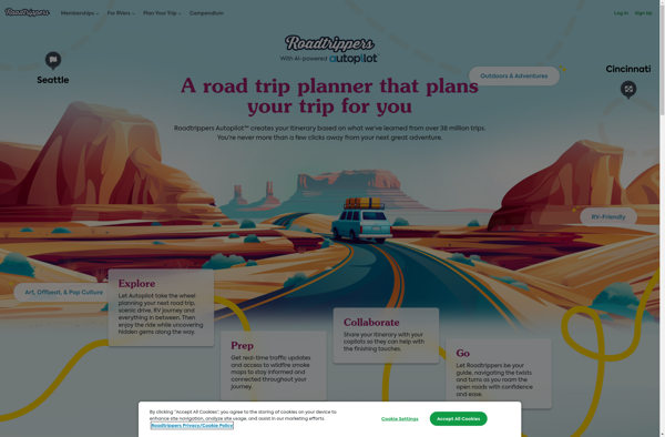
Roadtrippers is a popular road trip planning and navigation app and website. It allows users to easily map out road trip routes, find interesting stops and places to stay along the way, and estimate drive times and fuel costs.Some key features of Roadtrippers include:A database of over 1.5 million attractions,...
GMap.NET is an open source .NET control that allows embedding interactive maps from providers like Google, Bing, OpenStreetMap, WikiMapia, Yandex, ArcGIS and more into .NET applications. It was created in 2008 by Jan Mojžíš and is distributed under the LGPL license.Some key features of GMap.NET include:Support for various map providers...