Microsoft Streets and Trips
Microsoft Streets and Trips

Microsoft Streets and Trips is a discontinued mapping and travel planning software for Windows. It offers features like driving directions, trip planning, GPS support, and integrating maps into documents.
Microsoft Streets and Trips image
maps directions travel-planning discontinued

Microsoft Streets and Trips: Mapping and Travel Planning Softwares

A discontinued mapping and travel planning software for Windows offering driving directions, trip planning, GPS support, and map integration into documents.

What is Microsoft Streets and Trips?

Microsoft Streets and Trips is a discontinued mapping and travel planning desktop software that was available for Windows operating systems. It was first released in 1985 under the name Frandmeier TND Streets and Trips. Microsoft acquired it in 1994 and published it under their brand name.

Streets and Trips offered features useful for planning trips and navigating while driving. Key features included:

  • Driving directions for routes within the United States and Canada
  • The ability to plan trips with multiple stops and optimize the route
  • Integrating maps and directions into Word, Excel, PowerPoint and other documents
  • GPS support for tracking real-time location and directions
  • Detailed street maps and points of interest like restaurants, hotels, airports etc.
  • Traffic information, fuel prices and weather forecasts during navigation

In early 2015, Microsoft announced that it was retiring and discontinuing the Streets and Trips software. It recommended users switch to Bing Maps for similar GPS navigation features. Though it still has a loyal user base, the software is now largely outdated in terms of user interface and features. Many users migrated to Google Maps, Waze and dedicated GPS navigation devices as potential alternatives.

Microsoft Streets and Trips Features

Features

  1. Turn-by-turn voice guided GPS navigation
  2. Offline access to maps
  3. Route planning
  4. Point of Interest search
  5. Fuel log
  6. Mileage reports
  7. Printable maps and directions
  8. Integration with Microsoft Office

Pricing

  • One-time purchase

Pros

Good integration with other Microsoft products

Clean and intuitive interface

Lots of routing options and customization

Helpful trip planning features

Cons

No longer supported or updated

Limited to North America maps

Less accurate than dedicated GPS devices

Fewer features than competitors like Google Maps


The Best Microsoft Streets and Trips Alternatives

Top Travel & Location and Mapping & Navigation and other similar apps like Microsoft Streets and Trips


TripCase icon

TripCase

TripCase is a travel organization and flight tracking app used by over 30 million travelers worldwide. It consolidates travel plans from multiple sources like flights, hotels, trains, and more into one master itinerary, providing users with up-to-date travel information in real-time.Key features of TripCase include:Import and sync travel bookings from...
TripCase image
BatchGEO icon

BatchGEO

BatchGEO is an open-source web application designed specifically for analyzing and visualizing Gene Expression Omnibus (GEO) data. It provides an intuitive graphical user interface that allows researchers to easily query, compare, visualize and analyze GEO datasets without writing any code.Some key features of BatchGEO include:Intuitive search and filtering options to...
BatchGEO image
ESpatial icon

ESpatial

eSpatial is an open-source desktop geographic information system (GIS) software application used for working with maps and geographic information. It allows users to view, edit, create, and analyze spatial data, and produce maps and other visualizations.Some key features of eSpatial include:Interactive map display with support for pan, zoom, identify, measure,...
ESpatial image
Portatour icon

Portatour

Portatour is software used to create interactive 360 degree virtual tours. It is designed specifically for photographers who want to showcase their panoramic photos or videos in an immersive way. The key features of Portatour include:Supports panoramic photos taken with any camera and stitched togetherAllows embedding 360 videos for a...
Portatour image
TripHobo icon

TripHobo

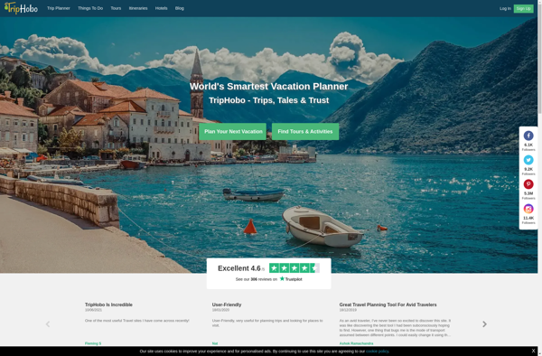
TripHobo is a travel planning website and app that allows users to plan and book customized itineraries for destinations around the world. It features trip planner tools that help travelers craft itineraries from scratch or from pre-made templates for over 140,000 destinations.The trip planner tools on TripHobo allow users to...
TripHobo image
Tripoto icon

Tripoto

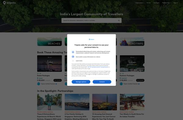
Tripoto is a leading travel planning and sharing platform founded in India in 2015. It allows users to create customized trip itineraries, plan transport and accommodation, share travel stories with photos and videos, and connect with a community of travelers.Some key features of Tripoto include:AI-powered trip planner - Users can...
Tripoto image
Badger Maps icon

Badger Maps

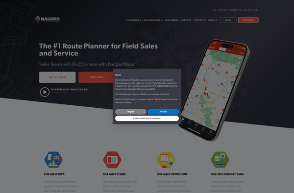
Badger Maps is a cloud-based field service management software designed for small to mid-sized field service businesses. It provides an end-to-end solution to run field operations efficiently with features for scheduling jobs, dispatching technicians, managing customer information, processing payments, tracking work orders, and route optimization.Key features of Badger Maps include:Mobile...
Badger Maps image
Mapline icon

Mapline

Mapline is an open-source, self-hosted web application that allows users to create custom maps for free. It is an alternative to proprietary services like Google My Maps.Some key features of Mapline include:Ability to add markers, lines, shapes, and text notes to your mapsSupport for multiple layers on a single mapOptions...
Mapline image
Roadtrippers icon

Roadtrippers

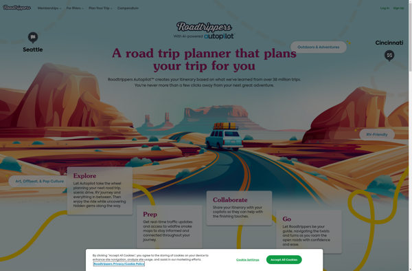
Roadtrippers is a popular road trip planning and navigation app and website. It allows users to easily map out road trip routes, find interesting stops and places to stay along the way, and estimate drive times and fuel costs.Some key features of Roadtrippers include:A database of over 1.5 million attractions,...
Roadtrippers image
Maptitude icon

Maptitude

Maptitude is a desktop Geographic Information System (GIS) software developed by Caliper Corporation. It provides tools for creating interactive maps, performing spatial analysis, managing geographic data, and generating reports.Key features of Maptitude include:Interactive mapping - Allows users to create professional-quality maps with layers, labels, scale bars, north arrows, etc.Data visualization...
Maptitude image
MapBusinessOnline.com icon

MapBusinessOnline.com

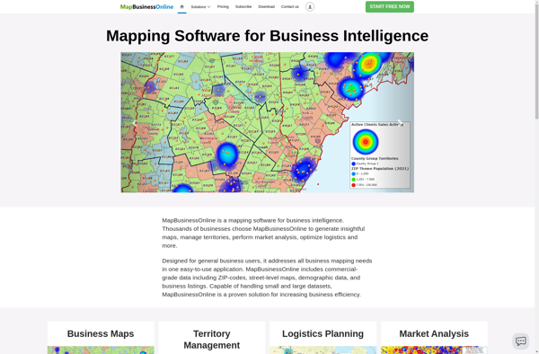
MapBusinessOnline.com is an all-in-one local SEO software designed to help businesses manage their online presence across various directories, maps, and review sites.It allows businesses to:Claim and optimize listings on 50+ sites like Google My Business, Apple Maps, Bing, Facebook, Yelp, YellowPages, Mapquest and more.Update business name, address, phone, website and...
MapBusinessOnline.com image
Maplytics icon

Maplytics

Maplytics is a location analytics platform designed to help businesses leverage geographic data to gain powerful and actionable insights. It enables users to visualize various location datasets such as points of interest, customer data, sales transactions, etc. on interactive maps.Key capabilities and benefits of Maplytics include:Intuitive interactive maps to visualize...
Maplytics image