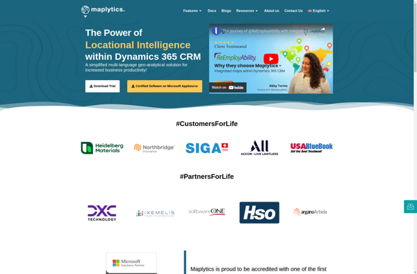
Maplytics is a location data platform that provides analytics and insights for better business decisions. It allows visualizing location data on interactive maps to understand trends, patterns and opportunities.
A location data platform providing analytics and insights for business decisions, visualizing location data on interactive maps to understand trends, patterns and opportunities.
What is Maplytics?
Maplytics is a location analytics platform designed to help businesses leverage geographic data to gain powerful and actionable insights. It enables users to visualize various location datasets such as points of interest, customer data, sales transactions, etc. on interactive maps.
Key capabilities and benefits of Maplytics include:
Intuitive interactive maps to visualize location analytics
Ability to ingest, unify and analyze disparate geospatial and business datasets
Rich location-based visualizations and dashboards
Tools to understand trends, customer behavior patterns, competitive landscape analysis using maps
Integration with business intelligence and data platforms
Flexible API architecture and developer toolkit for custom solutions
Robust data security, access control and governance
With powerful geospatial capabilities and business analytics tools, Maplytics allows organizations to gain new insights into markets, optimize location planning for stores/facilities, targeted marketing campaigns and make data-driven decisions to achieve key business goals.
Microsoft MapPoint is a discontinued mapping and geographic information system (GIS) software application. It was developed by Microsoft to help users visualize data on maps, create custom maps, perform geographic analysis, and integrate location intelligence into various business processes and workflows.MapPoint allowed users to import, analyze and map data such...
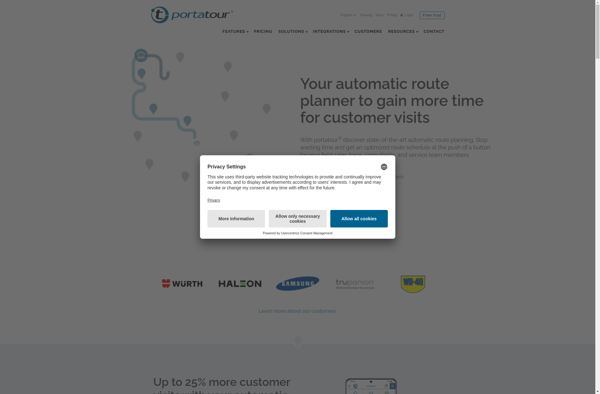
Portatour is software used to create interactive 360 degree virtual tours. It is designed specifically for photographers who want to showcase their panoramic photos or videos in an immersive way. The key features of Portatour include:Supports panoramic photos taken with any camera and stitched togetherAllows embedding 360 videos for a...
Maptive is an intuitive and versatile mind mapping and brainstorming software used by individuals and teams to visually organize ideas and information. Its key features and benefits include:Intuitive and easy-to-use interface allows users to quickly create mind maps from scratch or based on customizable templatesAbility to add text, images, attachments,...
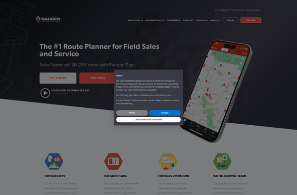
Badger Maps is a cloud-based field service management software designed for small to mid-sized field service businesses. It provides an end-to-end solution to run field operations efficiently with features for scheduling jobs, dispatching technicians, managing customer information, processing payments, tracking work orders, and route optimization.Key features of Badger Maps include:Mobile...
Mapline is an open-source, self-hosted web application that allows users to create custom maps for free. It is an alternative to proprietary services like Google My Maps.Some key features of Mapline include:Ability to add markers, lines, shapes, and text notes to your mapsSupport for multiple layers on a single mapOptions...
Microsoft Streets and Trips is a discontinued mapping and travel planning desktop software that was available for Windows operating systems. It was first released in 1985 under the name Frandmeier TND Streets and Trips. Microsoft acquired it in 1994 and published it under their brand name.Streets and Trips offered features...
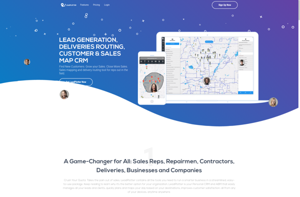
Lead Plotter is a comprehensive sales and marketing automation platform designed to help teams manage the entire lead-to-customer journey. It provides an intuitive drag-and-drop interface to visualize sales funnels and map out customized workflows to nurture leads and guide them through the buyer's journey.Key features include:Visual campaign builder to create...