Portatour
Portatour is a portable virtual tour creation software for photographers. It allows creating interactive 360 degree virtual tours that can be shared online or viewed locally. The software supports panoramic photos, videos, maps, and more.
Portatour: Create Interactive Virtual Tours
Portable virtual tour creation software for photographers, allowing interactive 360 degree tours shared online or viewed locally, with support for panoramic photos, videos, maps, and more.
What is Portatour?
Portatour is software used to create interactive 360 degree virtual tours. It is designed specifically for photographers who want to showcase their panoramic photos or videos in an immersive way. The key features of Portatour include:
- Supports panoramic photos taken with any camera and stitched together
- Allows embedding 360 videos for a more dynamic viewer experience
- Has a simple drag-and-drop interface to quickly build virtual tours
- Tour editor to customize the look and feel, add hotspots, text, audio, etc.
- Outputs self-contained HTML5 virtual tours that work on all devices and browsers
- Options to share tours online and also create executables to view tours offline
- Integrates with Google Maps to create map-based tours
- Templates, themes, and UI widgets for quicker tour creation
- Meant for individual photographers so affordably priced
Overall, Portatour makes it easy for photographers to take their panoramic photos and videos to the next level by turning them into impressive virtual tour experiences for clients or themselves.
Portatour Features
Features
- Create 360° virtual tours from panoramic photos
- Support for panoramas, videos, maps, hotspots, etc
- Output tours for web and local viewing
- Customizable interface and themes
- Tour editor with drag and drop functionality
- Share tours via email, social media or embed code
- Desktop and mobile ready tours
- Batch processing and automation tools
- Support for VR headsets
- Integrates with Lightroom and Photoshop
Pricing
- One-time Purchase
Pros
Intuitive and easy to use interface
Lots of customization options
Tours work great on all devices
Affordable one-time payment
Good selection of themes and templates
Active user community and support
Cons
Can be resource intensive for very large tours
Limited to panoramic photos only
Occasional bugs and stability issues
Lacks some advanced features of competitors
Official Links
Reviews & Ratings
Login to ReviewThe Best Portatour Alternatives
View all portatour alternatives with detailed comparison →
Top Photos & Graphics and Panorama Software and other similar apps like Portatour
Here are some alternatives to Portatour:
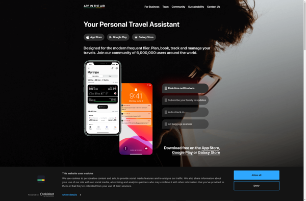
Suggest an alternative ❐App in the Air
App in the Air is a comprehensive travel application designed to help frequent flyers manage and track their travel itineraries with ease. The app syncs with the user's email accounts and calendars to automatically import and track upcoming flights, hotel reservations, rental cars, and other travel bookings.Key features of App...
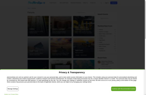
PlanMoreTrips
PlanMoreTrips is a user-friendly travel planning software designed to streamline the process of organizing group or solo trips. With an intuitive interface, users can easily build customized itineraries complete with activities, transportation, dining, and lodging details.Key features of PlanMoreTrips include:Collaborative itinerary building tools that allow users to work together on...
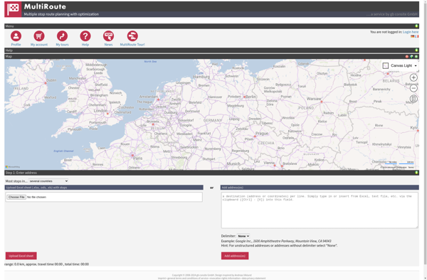
MultiRoute
MultiRoute is an advanced route planning and optimization software designed for businesses that dispatch drivers and vehicles to multiple locations. It incorporates powerful algorithms to generate efficient routing and scheduling solutions to reduce miles driven, cut fuel costs, balance workloads, and improve customer service levels.The software allows dispatchers and planners...
BatchGEO
BatchGEO is an open-source web application designed specifically for analyzing and visualizing Gene Expression Omnibus (GEO) data. It provides an intuitive graphical user interface that allows researchers to easily query, compare, visualize and analyze GEO datasets without writing any code.Some key features of BatchGEO include:Intuitive search and filtering options to...

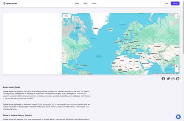
Speedy Route
Speedy Route is an advanced route planning and optimization software solution designed specifically for businesses that rely on vehicles to provide services, make deliveries or pickups. It utilizes complex algorithms and geocoding to generate the most time and cost efficient routes possible.The software allows users to input all the required...
ESpatial
eSpatial is an open-source desktop geographic information system (GIS) software application used for working with maps and geographic information. It allows users to view, edit, create, and analyze spatial data, and produce maps and other visualizations.Some key features of eSpatial include:Interactive map display with support for pan, zoom, identify, measure,...

Maptive
Maptive is an intuitive and versatile mind mapping and brainstorming software used by individuals and teams to visually organize ideas and information. Its key features and benefits include:Intuitive and easy-to-use interface allows users to quickly create mind maps from scratch or based on customizable templatesAbility to add text, images, attachments,...

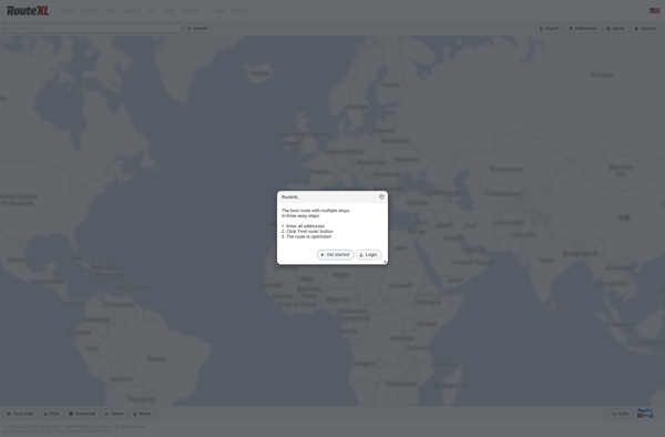
RouteXL
RouteXL is an advanced route planning and optimization software designed to help businesses that need to plan delivery routes and driver schedules. It is used by companies ranging from small local delivery services to large national shippers and distributors.The key capabilities and benefits of RouteXL include:Intuitive route mapping interface -...
Microsoft Streets and Trips
Microsoft Streets and Trips is a discontinued mapping and travel planning desktop software that was available for Windows operating systems. It was first released in 1985 under the name Frandmeier TND Streets and Trips. Microsoft acquired it in 1994 and published it under their brand name.Streets and Trips offered features...
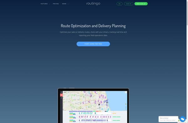
Routingo
Routingo is an easy-to-use route optimization and planning software designed specifically for small delivery businesses. It streamlines the entire delivery workflow from order to cash in the following ways:- Visualize all addresses and stops on an interactive map. Easily create, edit, organize delivery routes.- Utilizes advanced algorithms to auto-generate the...
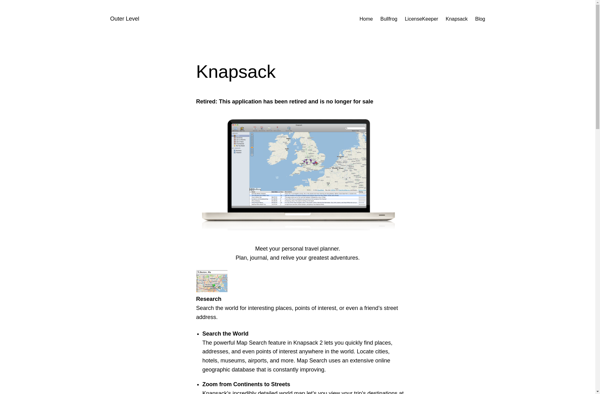
Knapsack
Knapsack is an open-source library designed to solve combinatorial optimization problems known as bin packing or knapsack problems. It enables developers to pack items of given weights or values into a finite number of bins or knapsacks so that the total weight or value is optimized.The knapsack problem is a...
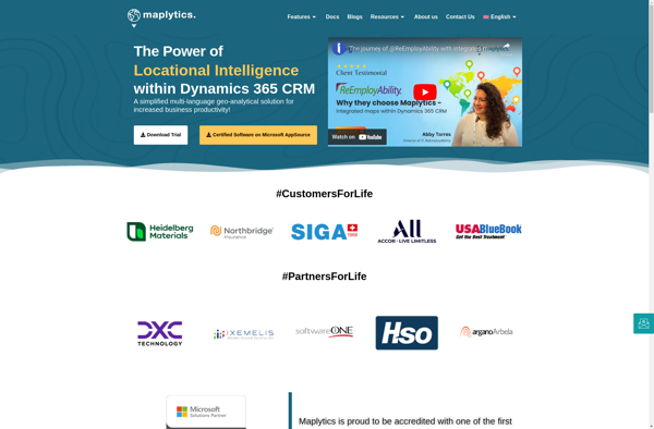
Maplytics
Maplytics is a location analytics platform designed to help businesses leverage geographic data to gain powerful and actionable insights. It enables users to visualize various location datasets such as points of interest, customer data, sales transactions, etc. on interactive maps.Key capabilities and benefits of Maplytics include:Intuitive interactive maps to visualize...