Microsoft MapPoint is a discontinued mapping and geographic information software designed to visualize data on maps. It allowed users to create custom maps, perform geographic analysis, and integrate location intelligence into business processes.
A discontinued mapping software for visualizing data on maps, creating custom maps, and integrating location intelligence into business processes
What is Microsoft MapPoint?
Microsoft MapPoint is a discontinued mapping and geographic information system (GIS) software application. It was developed by Microsoft to help users visualize data on maps, create custom maps, perform geographic analysis, and integrate location intelligence into various business processes and workflows.
MapPoint allowed users to import, analyze and map data such as customer addresses, delivery routes, demographic information and sales territories. It provided over 100 customizable and industry-specific maps that could be embedded into reports, presentations, websites and applications.
Key features of MapPoint included:
Interactive maps with support for panning, zooming and overlays
Advanced visualization with heat maps, scaled symbols and more
Detailed demographic data on population, income, age groups etc.
Routing and logistics tools for territory management, route optimization etc.
Integration with Microsoft Office apps like Excel and Access
Developer tools to embed maps and location features into custom solutions
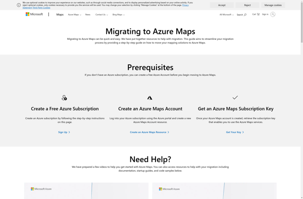
Originally launched in 2000, MapPoint was positioned as an easy-to-use alternative to more complex GIS platforms like ArcGIS. It discontinued in 2019 as Microsoft shifted focus to its Azure Maps web mapping service.
Microsoft MapPoint Features
Features
Geocoding and reverse geocoding
Routing and driving directions
Demographic data mapping
Site selection analysis
Territory mapping and optimization
Location-based sales and service planning
Map creation and customization
Integration with Microsoft Office and SharePoint
Pricing
Subscription-Based
Pros
Powerful mapping and geospatial analysis capabilities
Seamless integration with other Microsoft products
Large database of geographic data included
User-friendly interface
Customizable maps and visualizations
Cons
No longer supported or updated
Limited capabilities compared to more modern GIS software
QGIS is a professional open-source Geographic Information System (GIS) software for working with maps and geospatial data. It is licensed under the GNU Public License. QGIS allows you to view, edit, analyze, process, and visualize spatial data in various formats including shapefiles, GeoTIFFs, PostGIS, SpatiaLite, GPX, and more. It supports...
SAGA GIS (System for Automated Geoscientific Analyses) is a free and open source geographic information system (GIS) software used for editing and analyzing spatial data. It contains a large set of geoscientific analysis functions and utilities for managing vector, raster and table data.Some key features of SAGA GIS include:Support for...
Bing Maps 3D is a 3D mapping platform from Microsoft that provides interactive maps and location intelligence services. It is part of the Bing Maps product suite.Some key features of Bing Maps 3D include:Interactive 3D map views with support for aerial, road, and hybrid map stylesAbility to incorporate 3D maps...
BatchGEO is an open-source web application designed specifically for analyzing and visualizing Gene Expression Omnibus (GEO) data. It provides an intuitive graphical user interface that allows researchers to easily query, compare, visualize and analyze GEO datasets without writing any code.Some key features of BatchGEO include:Intuitive search and filtering options to...
eSpatial is an open-source desktop geographic information system (GIS) software application used for working with maps and geographic information. It allows users to view, edit, create, and analyze spatial data, and produce maps and other visualizations.Some key features of eSpatial include:Interactive map display with support for pan, zoom, identify, measure,...
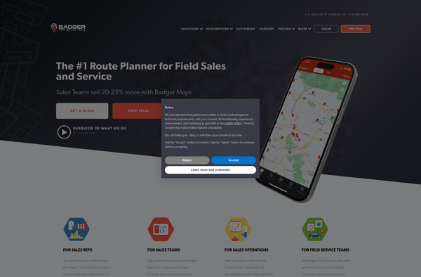
Badger Maps is a cloud-based field service management software designed for small to mid-sized field service businesses. It provides an end-to-end solution to run field operations efficiently with features for scheduling jobs, dispatching technicians, managing customer information, processing payments, tracking work orders, and route optimization.Key features of Badger Maps include:Mobile...
Mapline is an open-source, self-hosted web application that allows users to create custom maps for free. It is an alternative to proprietary services like Google My Maps.Some key features of Mapline include:Ability to add markers, lines, shapes, and text notes to your mapsSupport for multiple layers on a single mapOptions...
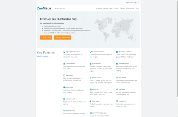
ZeeMaps is an easy-to-use online map creation and sharing application. It allows anyone to create great looking custom maps for free without GIS expertise or design skills.With ZeeMaps, you can add markers, lines, shapes, text notes, images, and videos to your maps to effectively visualize locations, routes, areas and associated...
Maptitude is a desktop Geographic Information System (GIS) software developed by Caliper Corporation. It provides tools for creating interactive maps, performing spatial analysis, managing geographic data, and generating reports.Key features of Maptitude include:Interactive mapping - Allows users to create professional-quality maps with layers, labels, scale bars, north arrows, etc.Data visualization...
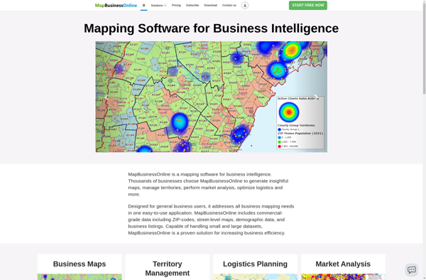
MapBusinessOnline.com is an all-in-one local SEO software designed to help businesses manage their online presence across various directories, maps, and review sites.It allows businesses to:Claim and optimize listings on 50+ sites like Google My Business, Apple Maps, Bing, Facebook, Yelp, YellowPages, Mapquest and more.Update business name, address, phone, website and...
Maplytics is a location analytics platform designed to help businesses leverage geographic data to gain powerful and actionable insights. It enables users to visualize various location datasets such as points of interest, customer data, sales transactions, etc. on interactive maps.Key capabilities and benefits of Maplytics include:Intuitive interactive maps to visualize...