Google Map Maker was a crowdsourced mapping service that allowed users to edit and update Google Maps with local knowledge. It helped improve the accuracy and coverage of Google Maps by enabling public map edits and additions.
Google Map Maker: Crowdsourced Mapping Service for Google Maps
Google Map Maker was a crowdsourced mapping service that allowed users to edit and update Google Maps with local knowledge. It helped improve the accuracy and coverage of Google Maps by enabling public map edits and additions.
What is Google Map Maker?
Google Map Maker was a crowdsourced mapping service launched by Google in 2008. It allowed volunteer mappers to edit and update Google Maps with local geographical information and knowledge. The goal of Map Maker was to harness contributions from the public to improve the accuracy, coverage, and freshness of Google Maps data.
Using Map Maker, users could add roads, buildings, rivers, parks, trails, and other missing features to the maps. They could also edit existing data to correct errors or reflect changes on the ground. This helped expand Google Maps in parts of the world where mapping data was sparse or outdated.
Map Maker had a moderation system where more experienced users and Google staff reviewed changes before they appeared on Google Maps. This helped maintain data quality. Over time, over 100 million map updates were contributed by over 1 million users, greatly expanding and enhancing Google Maps in over 180 countries.
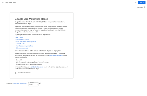
In 2017, Google retired Map Maker as the underlying Google Maps platform evolved. Many of Map Maker's features were integrated into Google Maps itself, allowing users to directly suggest edits to further improve the maps. The volunteer mapper community and crowdsourced public knowledge that Map Maker fostered left a lasting legacy on the accuracy and comprehensiveness of Google Maps worldwide.
OpenStreetMap (OSM) is a collaborative project to create a free and editable map of the world. Unlike proprietary map data from companies like Google or Apple, OSM map data is open and licensed under the Open Database License (ODbL), which allows anyone to use, modify, and distribute the data freely.The...
Map Chart is a powerful yet easy-to-use data visualization software designed specifically for creating customized maps. It enables users to visualize various datasets tied to geographic locations on insightful choropleth, bubble and marker maps.The software provides a drag-and-drop interface to map any data across countries, states, regions, postal codes and...
Mapbox Studio is a powerful desktop application for designing custom map styles. It provides a graphical user interface that allows you to visually style vector tiles created with Mapbox tools and services.Some key features of Mapbox Studio include:Import vector tilesets created with Mapbox tools like Mapbox Streets and SatelliteStyle map...
YourMapp is an easy-to-use mind mapping and brainstorming software. It enables individuals and teams to visually organize ideas, concepts, notes, images, documents and internet links in flexible non-linear mind maps.Key features include:Intuitive drag-and-drop interface for quickly creating mind mapsHierarchical trees to organize topics into parent/child relationshipsNotes, links, images and documents...
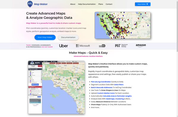
Map Maker by Google is a free, web-based tool that allows anyone to create custom Google Maps without needing expertise in geographic information systems (GIS). It has an intuitive drag-and-drop interface that makes it easy for users to add their own locations, landmarks, boundaries, lines, shapes, notes, and custom imagery...
Sharemap is an open-source web-based mind mapping and brainstorming application. It allows users to create colorful and visually engaging mind maps to organize ideas, concepts, and information. Some of the key features of Sharemap include:Real-time collaboration - Multiple users can work on the same mind map simultaneouslyRich formatting options -...
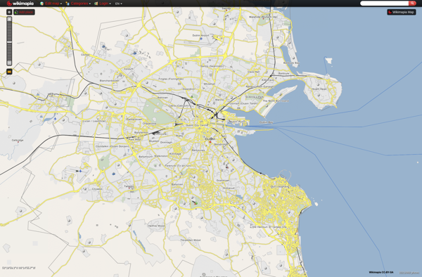
Wikimapia is a free, online map and satellite imaging resource that combines the functionality of Google Maps with a wiki component that allows users to add information, edits, and notes to any location in the world.Launched in 2006, Wikimapia aims to create a highly detailed, user-generated world map. The goal...
Yandex Maps is a free online map service developed by Yandex, a Russian multinational technology company specializing in Internet-related services and products. Yandex Maps offers highly detailed and searchable maps, turn-by-turn navigation, public transit information, traffic data, and 360-degree panoramic street view images for over 220 countries around the world.The...
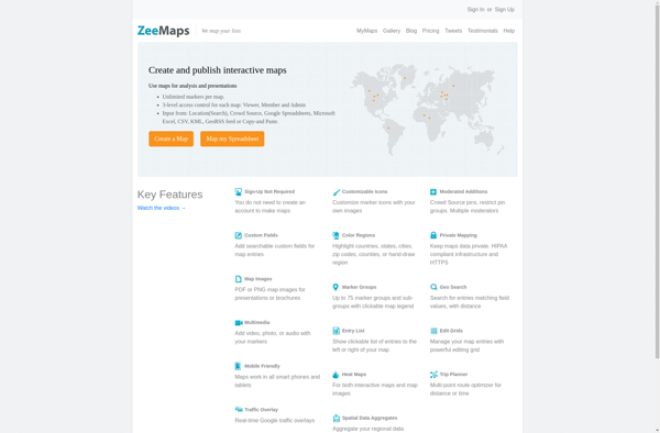
ZeeMaps is an easy-to-use online map creation and sharing application. It allows anyone to create great looking custom maps for free without GIS expertise or design skills.With ZeeMaps, you can add markers, lines, shapes, text notes, images, and videos to your maps to effectively visualize locations, routes, areas and associated...
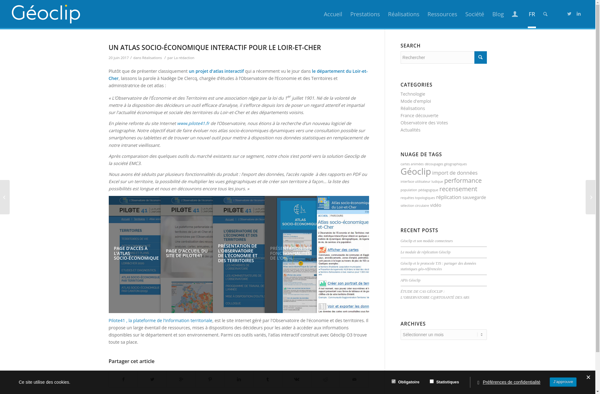
Geoclip is a user-friendly software solution for creating multimedia-enhanced interactive maps, timelines, and virtual tours. Its key features include:Intuitive drag-and-drop interface for adding and arranging locations, descriptions, images, videos, audio clips, hyperlinks, and more onto customizable maps or timelinesVariety of base maps including road, terrain, satellite, and open street mapsOptions...
The Map Kit Framework is an iOS and macOS SDK that allows developers to embed interactive maps and location-based services into their applications with ease. Developed by Apple, it integrates tightly with Apple's platforms and devices, providing efficient use of system resources.Some key capabilities offered by Map Kit include:Displaying standard,...