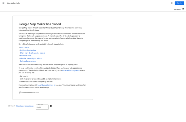
Google Map Maker
Description: Google Map Maker was a crowdsourced mapping service that allowed users to edit and update Google Maps with local knowledge. It helped improve the accuracy and coverage of Google Maps by enabling public map edits and additions.
Type: software
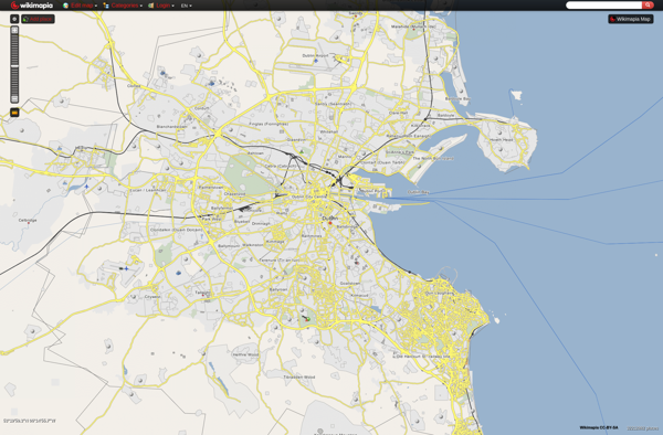
Wikimapia
Description: Wikimapia is a free, online map and satellite imaging resource that combines Google Maps with a wiki component. Users can add information, edits, and notes to any location in the world. It allows users to learn about different places and contribute knowledge.
Type: software