ViaMichelin
ViaMichelin is a travel website and mobile app that provides maps, route planning, gps navigation, tourist information, hotel and restaurant reviews, traffic data, and more for driving in Europe.
ViaMichelin: Map Navigation & Travel Guides
ViaMichelin is a travel website and mobile app that provides maps, route planning, gps navigation, tourist information, hotel and restaurant reviews, traffic data, and more for driving in Europe.
What is ViaMichelin?
ViaMichelin is a popular travel website and mobile app focused on providing information and services for driving in Europe. It was launched in 2001 by Michelin, the French tire company.
Some key features of ViaMichelin include:
- Interactive maps of European countries with the option to plan routes and get turn-by-turn GPS navigation.
- Tourist information including sightseeing highlights, restaurants, hotels, weather forecasts, traffic data, gas station locations, and more for major European cities and regions.
- Hotel, restaurant, and attraction reviews and listings.
- Traffic information including live incident reports, speed camera alerts, and congestion status.
- Michelin Green Guides with detailed destination information and travel tips curated by Michelin.
- Tools for calculating fuel costs and CO2 emissions for trips.
- Information on Michelin restaurants, updated annually.
- ViaMichelin is available as a website for desktop and mobile web browsing as well as native iOS and Android apps.
Overall, ViaMichelin aims to be a comprehensive trip planning, routing, navigation, and travel information platform targeted primarily towards drivers traveling in Europe.
ViaMichelin Features
Features
- Maps
- Route planning
- GPS navigation
- Tourist information
- Hotel and restaurant reviews
- Traffic data
Pricing
- Freemium
- Subscription-Based
Pros
Detailed maps
Accurate route planning
Good GPS navigation
Lots of tourist information
Helpful reviews
Real-time traffic data
Cons
Mostly focused on Europe
Can be slow to load at times
Route planning not as advanced as some competitors
Reviews can be sparse outside major cities
Official Links
Reviews & Ratings
Login to ReviewThe Best ViaMichelin Alternatives
Top Travel & Location and Maps & Navigation and other similar apps like ViaMichelin
Here are some alternatives to ViaMichelin:
Suggest an alternative ❐Google Maps
Google Maps is a web mapping platform and consumer application offered by Google. It offers satellite imagery, aerial photography, street maps, 360° interactive panoramic views of streets, real-time traffic conditions, and route planning for traveling by foot, car, bicycle and air, or public transportation.Key features of Google Maps include:Interactive street...

Waze
Waze is a crowd-sourced GPS navigation and traffic app launched in 2008. It provides turn-by-turn navigation along with real-time traffic updates, road hazard reports, and user-submitted edits of roads and addresses.Key features of Waze include:Real-time traffic updates - Users can report accidents, traffic jams, police traps, etc. to alert other...
OsmAnd
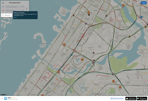
OsmAnd (OpenStreetMap Automated Navigation Directions) is a free and open-source mobile map and navigation application developed for Android and iOS devices. It relies entirely on detailed, community-driven maps from the OpenStreetMap project and allows accessing them offline without an internet connection.Some of the key features and capabilities of OsmAnd include:Turn-by-turn...
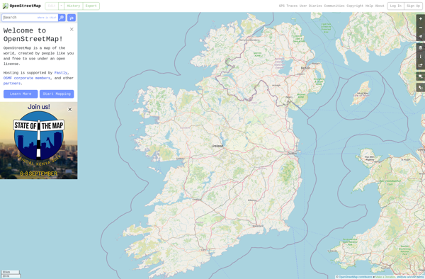
OpenStreetMap
OpenStreetMap (OSM) is a collaborative project to create a free and editable map of the world. Unlike proprietary map data from companies like Google or Apple, OSM map data is open and licensed under the Open Database License (ODbL), which allows anyone to use, modify, and distribute the data freely.The...
HERE WeGo
HERE WeGo is a free map and navigation app developed by HERE Technologies for iOS and Android devices. It allows users to navigate by car, public transportation, foot or bike using turn-by-turn voice guided directions. Key features of HERE WeGo include:Offline maps - Download maps to your device so you...

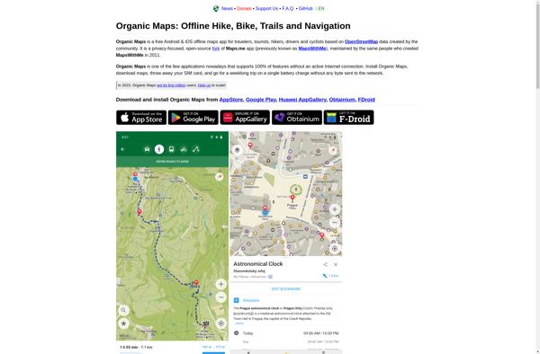
Organic Maps
Organic Maps is an open-source, privacy-focused maps and navigation application for Android devices. Developed by Organic Maps Foundation, it provides an alternative to proprietary map apps like Google Maps or Apple Maps.Some key features of Organic Maps include:Turn-by-turn navigation with voice guidanceAbility to download maps for offline useRoute planning for...
Planet Labs
Planet Labs is an earth imaging company founded in 2010 and based in San Francisco, California. They operate the world's largest commercial satellite constellation with over 200 satellites in orbit, collecting imagery of the entire land mass of the Earth every day.Their high revisit rate and global coverage allows them...
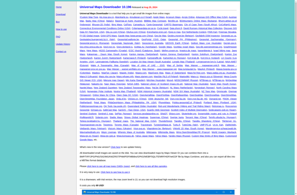
Universal Maps Downloader
Universal Maps Downloader is a free and open source software application that provides the ability to download map images from various popular online map services, including Google Maps, Bing Maps, OpenStreetMap, MapQuest, Yandex Maps, and more.Some key features of Universal Maps Downloader:Supports downloading map images at various zoom levels ranging...
TomTom MyDrive
TomTom MyDrive is a free desktop and mobile app that interfaces with TomTom GPS navigation devices to provide expanded features and functionality. With MyDrive, users can plan routes and destinations on their computer, tablet, or phone and seamlessly send that information to their TomTom device.Key features of TomTom MyDrive include:Updated...
Mappy
Mappy is an online and mobile map service mainly focused on Europe. It provides detailed street-level maps for over 40 European countries, covering popular travel destinations like France, Germany, Italy, Spain, and the UK as well as smaller countries across the region.Key features of Mappy include:Interactive maps with zoom, pan,...
