Doko Maps icon

Doko Maps

Doko Maps is an open-source, privacy-focused alternative to Google Maps. It offers features like turn-by-turn navigation, transit directions, and custom map styling without collecting user data.

What is Doko Maps?

Doko Maps is an open-source, privacy-focused alternative to Google Maps. Developed by a non-profit organization, Doko Maps aims to provide an ethical mapping service that respects user privacy.

Like Google Maps, Doko Maps offers features like turn-by-turn navigation for driving, walking, biking and public transit. It allows users to search for locations, get directions, and explore interactive maps. However, unlike Google Maps, Doko Maps does not collect or store any personal user data.

Some key features of Doko Maps include:

  • Turn-by-turn voice guided navigation
  • Transit directions and schedules
  • Bike and walking routes
  • Offline maps
  • Custom map styling options
  • Daily map updates

As an open-source platform, Doko Maps allows developers to contribute features and improvements to the project on GitHub. This allows the platform to continuously evolve with new functionalities.

Overall, Doko Maps offers a full-featured, ethical alternative for people looking to move away from Google Maps and other closed-source map providers. With a commitment to privacy and community-driven development, it aims to set a new standard for mapping services.

Official Links

The Best Doko Maps Alternatives

Top Apps like Doko Maps

Google Maps, Waze, MAPS.ME, OsmAnd, OpenStreetMap, HERE WeGo, Organic Maps, Apple Maps, Leaflet, Qwant Maps, 2GIS, Magic Earth are some alternatives to Doko Maps.

Google Maps

Google Maps is a web mapping platform and consumer application offered by Google. It offers satellite imagery, aerial photography, street maps, 360° interactive panoramic views of streets, real-time traffic conditions, and route planning for traveling by foot, car, bicycle and air, or public transportation.Key features of Google Maps include:Interactive...

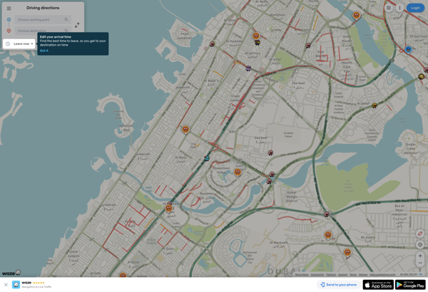
Waze

Waze is a crowd-sourced GPS navigation and traffic app launched in 2008. It provides turn-by-turn navigation along with real-time traffic updates, road hazard reports, and user-submitted edits of roads and addresses.Key features of Waze include:Real-time traffic updates - Users can report accidents, traffic jams, police traps, etc. to alert...

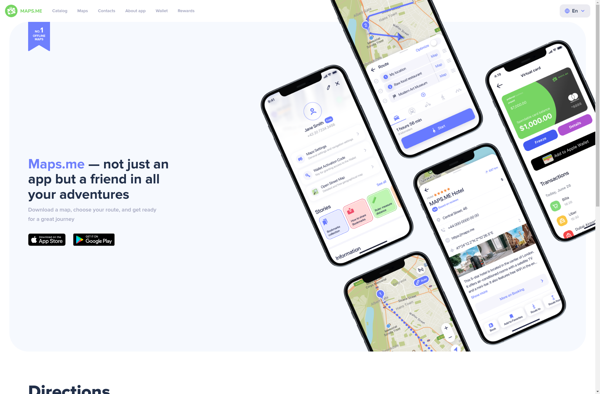
MAPS.ME

MAPS.ME is a popular free mobile app that provides offline maps and turn-by-turn GPS navigation for over 200 countries around the world. It was launched in 2012 by MapsWithMe GmbH and allows users to download highly detailed OpenStreetMap maps to their device for access completely offline.Some key features of MAPS...

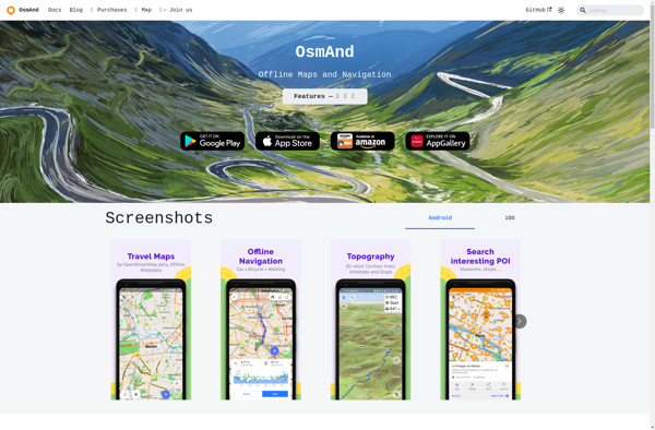
OsmAnd

OsmAnd (OpenStreetMap Automated Navigation Directions) is a free and open-source mobile map and navigation application developed for Android and iOS devices. It relies entirely on detailed, community-driven maps from the OpenStreetMap project and allows accessing them offline without an internet connection.Some of the key features and capabilities of OsmAnd...

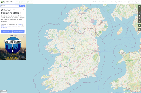
OpenStreetMap

OpenStreetMap (OSM) is a collaborative project to create a free and editable map of the world. Unlike proprietary map data from companies like Google or Apple, OSM map data is open and licensed under the Open Database License (ODbL), which allows anyone to use, modify, and distribute the data freely...

HERE WeGo

HERE WeGo is a free map and navigation app developed by HERE Technologies for iOS and Android devices. It allows users to navigate by car, public transportation, foot or bike using turn-by-turn voice guided directions. Key features of HERE WeGo include:Offline maps - Download maps to your device so...

Organic Maps

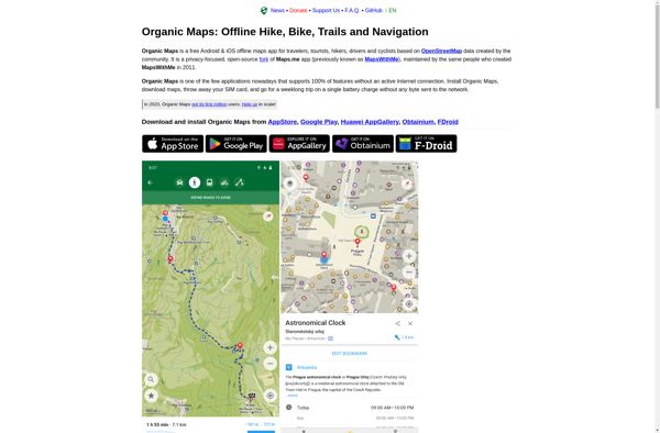
Organic Maps is an open-source, privacy-focused maps and navigation application for Android devices. Developed by Organic Maps Foundation, it provides an alternative to proprietary map apps like Google Maps or Apple Maps.Some key features of Organic Maps include:Turn-by-turn navigation with voice guidanceAbility to download maps for offline useRoute...

Apple Maps

Apple Maps is a web mapping service developed by Apple Inc. It was introduced in 2012 with iOS 6 as a replacement for Google Maps on Apple devices. Apple Maps offers turn-by-turn navigation, interactive panoramic street views, Flyover mode for photorealistic 3D views of certain cities, support for transit routing and real-time...

Leaflet

Leaflet is an open-source JavaScript library for building web mapping applications. Here is a more detailed overview:- Leaflet is designed with simplicity, performance and usability in mind. It offers easy integration with other mapping libraries and APIs.- The library is extremely lightweight at only about 38 KB, which allows...

Qwant Maps

Qwant Maps is an open-source web mapping service developed by the French company Qwant aimed at providing privacy and protecting user data. Launched in 2019, Qwant Maps does not track user searches or collect private information the way many other mapping services do.Some key features of Qwant Maps include:Search...

2GIS

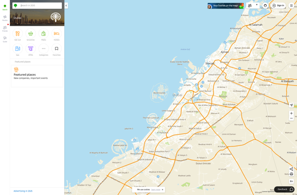
2GIS is a popular free map, local search and business directory mobile app and website operating in over 1800 cities across Russia, CIS, Europe, Asia and other countries. It offers detailed interactive maps, local business listings, navigation, reviews and other local information.Some key features of 2GIS include:Detailed vector maps...

Magic Earth

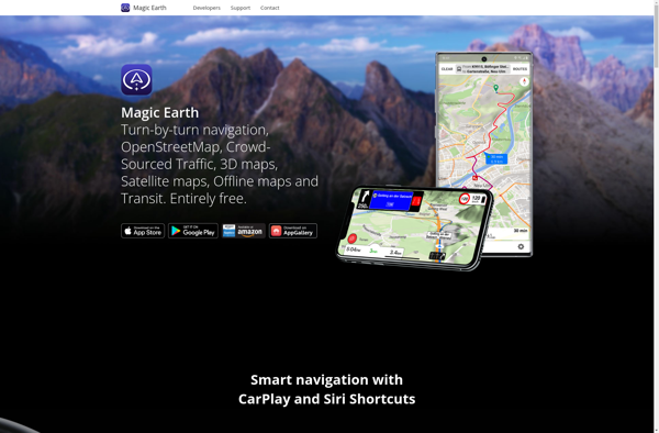
Magic Earth is an open-source, free mobile map application developed for Android and iOS devices. It can be used as a fully-functional GPS navigation software both online and offline. Some of the key features include:Downloads offline vector maps worldwide for using the app without internet connection.Supports turn-by-turn voice...