Arcane Maps

Arcane Maps

Arcane Maps is a fantasy map creation tool for tabletop RPGs like Dungeons & Dragons. It provides an intuitive user interface to quickly draw custom maps with different terrains, landmarks, borders, text labels, and more. The maps can be exported for use in virtual tabletops
map-creation dungeons-dragons tabletop-rpg virtual-tabletop fantasy-maps

Arcane Maps: Fantasy Map Creation Tool

Arcane Maps is a fantasy map creation tool for tabletop RPGs like Dungeons & Dragons. It provides an intuitive user interface to quickly draw custom maps with different terrains, landmarks, borders, text labels, and more. The maps can be exported for use in virtual tabletops or printed for in-person games.

What is Arcane Maps?

Arcane Maps is a feature-rich yet easy-to-use fantasy map creation tool designed specifically for tabletop roleplaying games like Dungeons & Dragons. With an intuitive interface, users can quickly sketch out custom maps with a variety of terrains, landmarks, borders, text labels, and other cartography elements.

The software provides numerous brush styles and assets like forests, mountains, rivers, settlements, roads, dungeons, and more to populate fantasy realms. There are also options to change seasons and weather as well as import custom assets. Users can draw maps at multiple zoom levels, starting with an overworld down to continent, regional, and local combat-scale battlemaps.

Once finished, the high-quality maps can be exported as images for use in virtual tabletops like Roll20 or printed out for in-person games. There are also options to export the underlying data for the procedural generation of new maps. As an added bonus, Arcane Maps can automatically generate names for locations and features based on built-in naming languages.

With an affordable one-time payment model and no subscription fees, Arcane Maps is an excellent value-for-money option for both new and experienced game masters looking to bring immersive, custom-built fantasy worlds to their RPG campaigns.

Arcane Maps Features

Features

  1. Intuitive user interface for drawing custom fantasy maps
  2. Variety of terrain types, landmarks, borders, and text labels
  3. Export options for virtual tabletops and physical printing
  4. Customizable grid system and scale
  5. Layers for organizing different map elements
  6. Undo/redo functionality and ability to save and load maps

Pricing

  • Free
  • Freemium

Pros

Powerful and flexible map creation tool for tabletop RPGs

Streamlines the map-making process for game masters

Allows for highly customized and unique map designs

Export options make it easy to integrate maps into virtual or physical game sessions

Cons

Learning curve for users unfamiliar with digital map creation

Limited pre-made assets or templates available

May require additional software or plugins for advanced features

Official Links


The Best Arcane Maps Alternatives

Top Games and Gaming Software and other similar apps like Arcane Maps


Google Maps icon

Google Maps

Google Maps is a web mapping platform and consumer application offered by Google. It offers satellite imagery, aerial photography, street maps, 360° interactive panoramic views of streets, real-time traffic conditions, and route planning for traveling by foot, car, bicycle and air, or public transportation.Key features of Google Maps include:Interactive street...
Google Maps image
Waze icon

Waze

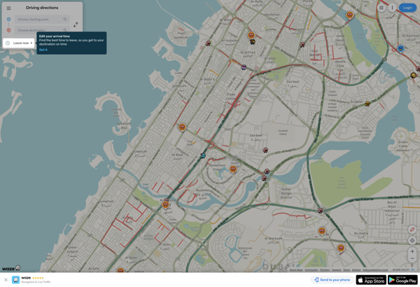
Waze is a crowd-sourced GPS navigation and traffic app launched in 2008. It provides turn-by-turn navigation along with real-time traffic updates, road hazard reports, and user-submitted edits of roads and addresses.Key features of Waze include:Real-time traffic updates - Users can report accidents, traffic jams, police traps, etc. to alert other...
Waze image
MAPS.ME icon

MAPS.ME

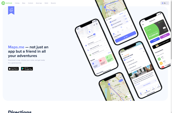
MAPS.ME is a popular free mobile app that provides offline maps and turn-by-turn GPS navigation for over 200 countries around the world. It was launched in 2012 by MapsWithMe GmbH and allows users to download highly detailed OpenStreetMap maps to their device for access completely offline.Some key features of MAPS.ME...
MAPS.ME image
OsmAnd icon

OsmAnd

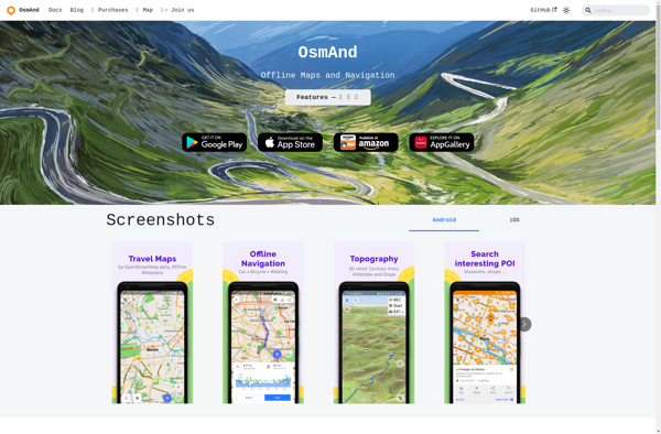
OsmAnd (OpenStreetMap Automated Navigation Directions) is a free and open-source mobile map and navigation application developed for Android and iOS devices. It relies entirely on detailed, community-driven maps from the OpenStreetMap project and allows accessing them offline without an internet connection.Some of the key features and capabilities of OsmAnd include:Turn-by-turn...
OsmAnd image
OpenStreetMap icon

OpenStreetMap

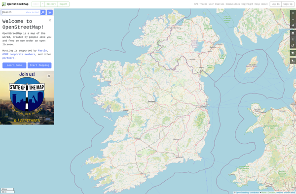
OpenStreetMap (OSM) is a collaborative project to create a free and editable map of the world. Unlike proprietary map data from companies like Google or Apple, OSM map data is open and licensed under the Open Database License (ODbL), which allows anyone to use, modify, and distribute the data freely.The...
OpenStreetMap image
HERE WeGo icon

HERE WeGo

HERE WeGo is a free map and navigation app developed by HERE Technologies for iOS and Android devices. It allows users to navigate by car, public transportation, foot or bike using turn-by-turn voice guided directions. Key features of HERE WeGo include:Offline maps - Download maps to your device so you...
HERE WeGo image
Organic Maps icon

Organic Maps

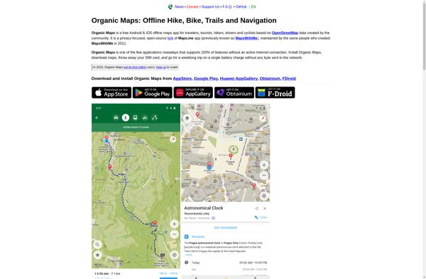
Organic Maps is an open-source, privacy-focused maps and navigation application for Android devices. Developed by Organic Maps Foundation, it provides an alternative to proprietary map apps like Google Maps or Apple Maps.Some key features of Organic Maps include:Turn-by-turn navigation with voice guidanceAbility to download maps for offline useRoute planning for...
Organic Maps image
Apple Maps icon

Apple Maps

Apple Maps is a web mapping service developed by Apple Inc. It was introduced in 2012 with iOS 6 as a replacement for Google Maps on Apple devices. Apple Maps offers turn-by-turn navigation, interactive panoramic street views, Flyover mode for photorealistic 3D views of certain cities, support for transit routing...
Apple Maps image
Leaflet icon

Leaflet

Leaflet is an open-source JavaScript library for building web mapping applications. Here is a more detailed overview:- Leaflet is designed with simplicity, performance and usability in mind. It offers easy integration with other mapping libraries and APIs.- The library is extremely lightweight at only about 38 KB, which allows for...
Leaflet image
Qwant Maps icon

Qwant Maps

Qwant Maps is an open-source web mapping service developed by the French company Qwant aimed at providing privacy and protecting user data. Launched in 2019, Qwant Maps does not track user searches or collect private information the way many other mapping services do.Some key features of Qwant Maps include:Search for...
2GIS icon

2GIS

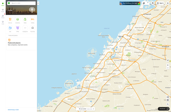
2GIS is a popular free map, local search and business directory mobile app and website operating in over 1800 cities across Russia, CIS, Europe, Asia and other countries. It offers detailed interactive maps, local business listings, navigation, reviews and other local information.Some key features of 2GIS include:Detailed vector maps for...
2GIS image
Magic Earth icon

Magic Earth

Magic Earth is an open-source, free mobile map application developed for Android and iOS devices. It can be used as a fully-functional GPS navigation software both online and offline. Some of the key features include:Downloads offline vector maps worldwide for using the app without internet connection.Supports turn-by-turn voice navigation and...
Magic Earth image