GeoFlow
GeoFlow is a no-code software that enables users to create interactive maps and spatial data visualizations. It allows importing, analyzing and visualizing location data without coding.
GeoFlow: No-Code Interactive Maps & Spatial Data Visualization
GeoFlow enables users to create interactive maps and spatial data visualizations without coding, allowing for easy import, analysis, and visualization of location data.
What is GeoFlow?
GeoFlow is a no-code platform used to create interactive maps and spatial data visualizations. It provides an easy-to-use visual interface that allows users to import, analyze, and visualize location data without writing any code.
Some key features of GeoFlow include:
- Intuitive drag-and-drop interface to build maps and dashboards
- Variety of customizable and interactive charts like heat maps, cluster maps, dotted maps etc.
- Ability to import data from Excel, CSV files, databases, software like Salesforce
- Real-time data connectivity to visualize live data feeds
- Options to filter, slice and dice data to gain insights
- Collaboration tools to share geo analytics with teams
- Availability on both web and mobile devices
GeoFlow enables cross-organization geo analytics by business users with no prior technical expertise. With its code-free environment, GeoFlow allows enterprises to democratize location data analytics across teams.
GeoFlow Features
Features
- Import and visualize geospatial data
- Create interactive maps and dashboards
- Analyze spatial data and relationships
- Stylize maps with custom themes
- Animate data changes over time
- Collaborate and share maps with others
Pricing
- Subscription-Based
Pros
Intuitive drag and drop interface
No coding required
Connects to many data sources
Create professional maps quickly
Powerful analytics capabilities
Great for collaboration
Cons
Limited customization compared to coding
Steep learning curve for advanced features
Can be slow with large datasets
Lacks some advanced GIS functionality
Collaboration features could be better
Official Links
Reviews & Ratings
Login to ReviewThe Best GeoFlow Alternatives
View all GeoFlow alternatives with detailed comparison →
Top Ai Tools & Services and Data Visualization and other similar apps like GeoFlow
Here are some alternatives to GeoFlow:
Suggest an alternative ❐OpenStreetMap
OpenStreetMap (OSM) is a collaborative project to create a free and editable map of the world. Unlike proprietary map data from companies like Google or Apple, OSM map data is open and licensed under the Open Database License (ODbL), which allows anyone to use, modify, and distribute the data freely.The...

SAS.Planet
SAS.Planet is a free, open-source desktop application designed for viewing and downloading satellite imagery. It provides access to a wide variety of satellite data sources, allowing users to search, preview, and download high-resolution aerial and satellite photos.Some key features of SAS.Planet include:Intuitive user interface for searching locations and browsing image...

Modest Maps
Modest Maps is an open source JavaScript mapping library designed for easily embedding interactive maps into web pages. Some key features of Modest Maps include:Lightweight and customizable - Only about 6KB when minified and gzippedSupports various map tile sources including OpenStreetMap, MapQuest, and CloudMadeProvides API for basic interactions like panning,...

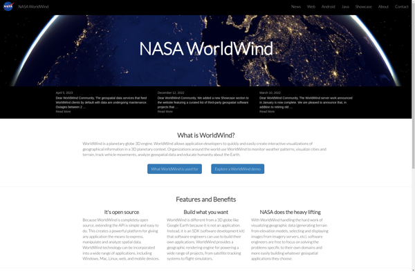
NASA World Wind
NASA World Wind is an open source, cross-platform virtual globe software that allows users to visualize the Earth and its terrain in 3D. Developed by NASA, it provides a detailed and interactive view of the planet using NASA satellite imagery and aerial photography.Key features of NASA World Wind include:Interactive 3D...
TransforMap
TransforMap is a free, open-source mind mapping and brainstorming software. It allows users to visually organize ideas, tasks, projects, and other information with the flexibility of a mind map interface.With TransforMap, users can:Create branching mind maps to break down large concepts and projects into an organized structureConnect related topics, ideas,...

Leaflet
Leaflet is an open-source JavaScript library for building web mapping applications. Here is a more detailed overview:- Leaflet is designed with simplicity, performance and usability in mind. It offers easy integration with other mapping libraries and APIs.- The library is extremely lightweight at only about 38 KB, which allows for...

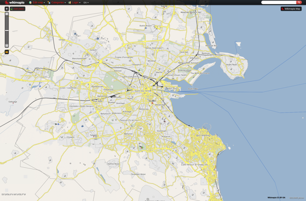
Wikimapia
Wikimapia is a free, online map and satellite imaging resource that combines the functionality of Google Maps with a wiki component that allows users to add information, edits, and notes to any location in the world.Launched in 2006, Wikimapia aims to create a highly detailed, user-generated world map. The goal...
Marble
Marble is a free and open source note taking application designed specifically for Linux desktop environments like KDE Plasma and GNOME. It provides a simple yet effective way to create rich text notes, tackle checklists, set reminders, and organize your notes into notebooks.Some of the key features of Marble include:Rich...

Mapline
Mapline is an open-source, self-hosted web application that allows users to create custom maps for free. It is an alternative to proprietary services like Google My Maps.Some key features of Mapline include:Ability to add markers, lines, shapes, and text notes to your mapsSupport for multiple layers on a single mapOptions...

GMap.NET
GMap.NET is an open source .NET control that allows embedding interactive maps from providers like Google, Bing, OpenStreetMap, WikiMapia, Yandex, ArcGIS and more into .NET applications. It was created in 2008 by Jan Mojžíš and is distributed under the LGPL license.Some key features of GMap.NET include:Support for various map providers...