SAS.Planet

SAS.Planet

SAS.Planet is a free, open-source desktop application for viewing and downloading satellite imagery. It allows searching and downloading high-resolution imagery from various satellite systems like Landsat, Sentinel, and MODIS.
SAS.Planet image
satellite-imagery remote-sensing gis open-source

SAS.Planet: Free Satellite Imagery Viewer & Downloader

A free, open-source desktop application for viewing and downloading high-resolution satellite imagery from various satellite systems like Landsat, Sentinel, and MODIS.

What is SAS.Planet?

SAS.Planet is a free, open-source desktop application designed for viewing and downloading satellite imagery. It provides access to a wide variety of satellite data sources, allowing users to search, preview, and download high-resolution aerial and satellite photos.

Some key features of SAS.Planet include:

  • Intuitive user interface for searching locations and browsing image catalogs
  • Support for various data sources like Landsat 5-8, Sentinel-1/2, MODIS, and more
  • Preview imagery at different zoom levels before downloading
  • Download original images up to 60 cm per pixel resolution
  • Supports different image formats like GeoTIFF, JPEG, and NITF
  • Image enhancement tools for adjusting brightness, contrast, etc.
  • Support for bulk downloading large areas
  • Available on Windows, Mac, and Linux

Overall, SAS.Planet is an excellent open-source option providing user-friendly access to a wide variety of satellite imagery that can be used for applications like land-use analysis, agriculture monitoring, urban planning, and more.

SAS.Planet Features

Features

  1. Search and download high-resolution satellite imagery
  2. Supports various satellite systems including Landsat, Sentinel, MODIS
  3. View imagery layers and metadata
  4. Create and export maps
  5. Offline access to downloaded imagery

Pricing

  • Free
  • Open Source

Pros

Free and open source

User-friendly interface

Wide range of supported satellites and sensors

Active development and user community

Cons

Limited analysis capabilities compared to paid GIS software

Steep learning curve for some advanced features

Requires downloading large imagery files


The Best SAS.Planet Alternatives

Top Science & Education and Geospatial Software and other similar apps like SAS.Planet

Here are some alternatives to SAS.Planet:
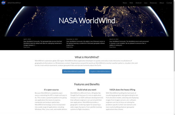
Suggest an alternative ❐

NASA World Wind icon

NASA World Wind

NASA World Wind is an open source, cross-platform virtual globe software that allows users to visualize the Earth and its terrain in 3D. Developed by NASA, it provides a detailed and interactive view of the planet using NASA satellite imagery and aerial photography.Key features of NASA World Wind include:Interactive 3D...
NASA World Wind image
Earth Browser icon

Earth Browser

Earth Browser is an interactive 3D globe software program that provides a highly detailed visualization of planet Earth by integrating a wide range of geographic datasets. It enables users to explore the Earth's surface, oceans, atmosphere, and outer space in an immersive and customizable 3D environment.Key features of Earth Browser...
Earth Browser image
Flash Earth icon

Flash Earth

Flash Earth is a free, interactive 3D globe developed using Adobe Flash. It allows users to visually explore the Earth through high-resolution satellite imagery and aerial photography.Some key features of Flash Earth include:Seamless, zoomable maps from space down to street level3D terrain showing topological features like mountains and valleysOcean floor...
Flash Earth image
GeoFlow icon

GeoFlow

GeoFlow is a no-code platform used to create interactive maps and spatial data visualizations. It provides an easy-to-use visual interface that allows users to import, analyze, and visualize location data without writing any code.Some key features of GeoFlow include:Intuitive drag-and-drop interface to build maps and dashboardsVariety of customizable and interactive...