Earth 3D is a dynamic 3D model of Planet Earth that allows users to visualize different areas of the globe in an interactive virtual globe. It features detailed topography and satellite imagery for exploring landscapes and cities in 3D.
Explore Planet Earth's detailed topography and satellite imagery in an interactive 3D model, perfect for visualizing global landscapes and cities.
What is Earth 3D?
Earth 3D is an interactive 3D simulation of Planet Earth developed by Rephlexions. It renders a highly detailed virtual globe using real satellite imagery and topographic data to showcase an accurate model of Earth's terrain, oceans, and cloud cover.
With Earth 3D, users can freely navigate around the planet to explore any location on land or under the seas. It supports zooming in from space all the way to street-level detail for hundreds of cities worldwide. Landscapes can be viewed in 3D anaglyph mode for an immersive stereoscopic view using red-cyan glasses.
Key features include:
Photo-realistic 3D rendering of global terrain and bathymetry
Detailed satellite and aerial imagery integrated into the 3D landscape
Over 300 detailed 3D city models with recognizable landmarks
Realistic visualization of ocean waves, lighting, and atmospheric effects
Fluid navigation controls allowing users to fly, orbit, pan, and zoom around the globe
Supports geographical searching to quickly locate and view any place on Earth
Anaglyph mode for stereoscopic 3D viewing with red-cyan glasses
With its huge wealth of geographical data and imagery, Earth 3D allows students, educators, travelers, or anyone interested in geography, Earth sciences, or virtual exploration to discover our planet in a visually enriching interactive experience.
Earth 3D Features
Features
Interactive 3D globe
Detailed topography
High resolution satellite imagery
Ability to visualize different areas of the planet
Google Earth is a geobrowser that accesses satellite and aerial imagery, ocean bathymetry, and other geographic data over the internet to represent the Earth as a three-dimensional globe. It was originally developed by Keyhole, Inc., a company acquired by Google in 2004.Google Earth allows users to search for addresses and...
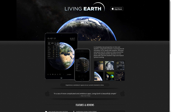
Living Earth is a desktop software that turns your computer screen into a live, customizable landscape displaying animated nature scenes along with current weather conditions and astronomical data. Developed by David M. Nelson, Living Earth aims to bring the relaxing sights and sounds of the natural world to your digital...
MeteoEarth is an innovative weather forecasting platform that provides accurate and reliable weather reports and forecasts for cities and regions across the globe. It leverages advanced meteorological modeling technology to generate hyperlocal weather forecasts with superior precision compared to other weather services.Some key features of MeteoEarth include:Interactive weather maps with...
Desktop Earth is a desktop application that displays an interactive 3D model of the Earth on your computer. It provides a detailed virtual globe that simulates views of the planet from space in real time.With Desktop Earth, you can spin and tilt the planet to see different angles and perspectives....
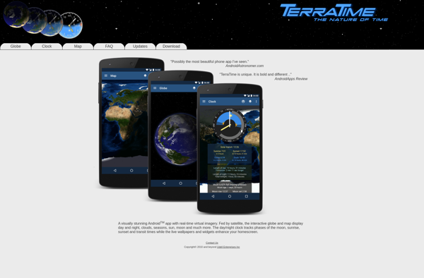
TerraTime is a comprehensive time tracking and productivity platform built for remote teams and distributed workforces. It provides powerful features to help managers and employees track time more accurately, remain focused on the right tasks, and strengthen collaboration.With TerraTime, you can:Log time automatically or manually with an easy stopwatch interfaceAttach...
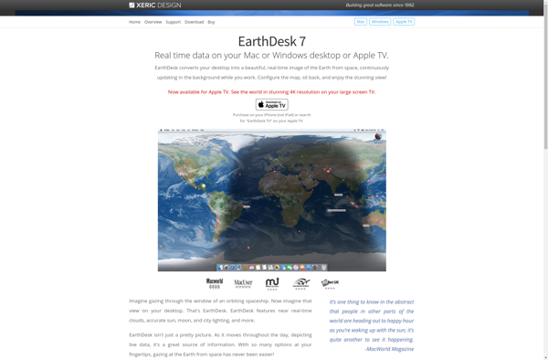
EarthDesk is a beautiful and unique desktop background application for Mac that displays visually stunning real-time imagery of Earth as seen from space. Developed by Xeric Design, EarthDesk replaces the static desktop wallpaper with mesmerizing, high definition renders of Earth based on real scientific data.EarthDesk taps into numerous data sources...
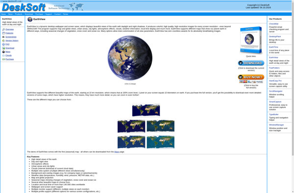
EarthView is a software application developed for Windows that sets your desktop wallpaper background to satellite imagery from locations around the world. It works by pulling high quality images from the Bing Maps aerial and satellite image database and displaying them as a slideshow desktop background.Some key features of EarthView...
Living Earth Desktop is an animated wallpaper software that displays a highly detailed, customizable, interactive 3D model of planet Earth on the computer desktop. It renders Earth in real-time with changing clouds, city lights, shadows, environmental effects, and smooth day-to-night transitions.The software includes high resolution satellite imagery and topographic data...
Xplanetfx is an open source, cross-platform software that renders high quality images of Earth and other planets using images from satellites and space agencies as textures. It can produce still images or animations showing the Earth rotating with overlaid clouds, city lights at night, and other effects.Some key features of...
Catfood earth is a comprehensive website focused on providing cat owners with detailed information and advice on cat food, nutrition, and other cat care essentials. The site features unbiased, in-depth reviews on popular cat food brands and formulas, as well as articles covering topics like decoding ingredient lists, identifying food...
LeafletDesktop is an open-source desktop Geographic Information System (GIS) application built on the popular Leaflet JavaScript library. It provides a user-friendly interface for creating interactive maps right on your computer without needing to write any code.With LeafletDesktop you can import various geospatial data formats like GeoJSON, shapefiles, GPX files, and...
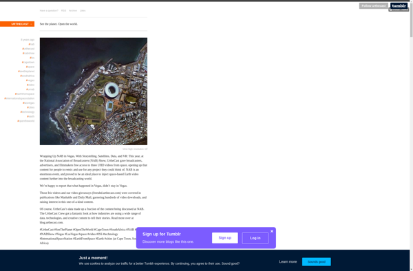
Urthecast is a Vancouver-based technology company that specializes in geospatial data and services by leveraging its network of Earth Observation (EO) sensors in space. The company provides imagery and data for a wide range of industries through its UrtheDaily, streaming video, and API services.Urthecast operates the world's first commercially-available, full-color...