LeafletDesktop
LeafletDesktop: Open-Source Desktop GIS
LeafletDesktop is an open-source desktop application for creating interactive maps. It allows users to import geospatial data, design custom maps, add interactive elements like markers and popups, and export maps for use online or in presentations. As a desktop GIS program it offers more power and flexibility than web-based tools.
What is LeafletDesktop?
LeafletDesktop is an open-source desktop Geographic Information System (GIS) application built on the popular Leaflet JavaScript library. It provides a user-friendly interface for creating interactive maps right on your computer without needing to write any code.
With LeafletDesktop you can import various geospatial data formats like GeoJSON, shapefiles, GPX files, and more. It makes styling maps simple with options to customize markers, lines, polygons, and more. You can add rich interactivity to maps by creating popups, tooltips, custom icons, and other Leaflet plugins.
Key features include:
- Importing and visualizing geospatial data
- Designing custom map styles and symbols
- Adding interactive elements like popups, markers, tooltips
- Creating map layers, layer controls, scale bars, and legends
- Generating print-ready cartographic maps
- Exporting maps for web or presentation use
As a desktop application, LeafletDesktop provides more flexibility and customization for interactive mapping compared to limited web-based services. It empowers users to make rich, interactive maps tailored to their specific needs and export them in a reusable format.
With its wide format support, customization options, and easy-to-use UI, LeafletDesktop serves as a full-featured open-source alternative to proprietary desktop GIS software for map creators of all skill levels.
LeafletDesktop Features
Features
- Import and visualize geospatial data
- Design interactive maps with markers, popups, etc.
- Export maps for web or presentations
- Perform spatial analysis and geoprocessing
- Customize map design and symbology
- Plugin architecture for extensibility
- Compatible with common geospatial file formats
Pricing
- Open Source
- Free
Pros
Cons
Official Links
Reviews & Ratings
Login to ReviewThe Best LeafletDesktop Alternatives
View all LeafletDesktop alternatives with detailed comparison →
Top Education & Reference and Mapping & Geospatial and other similar apps like LeafletDesktop
Here are some alternatives to LeafletDesktop:
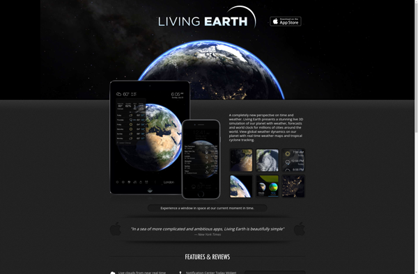
Suggest an alternative ❐Living Earth
Desktop Earth
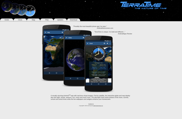
TerraTime
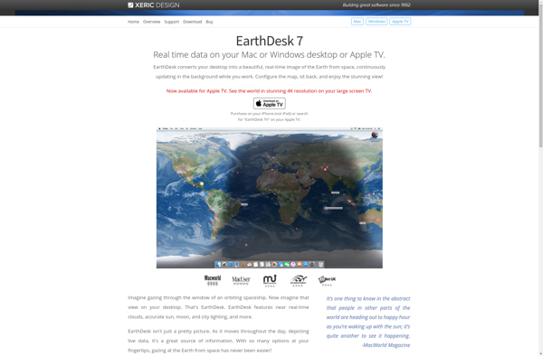
EarthDesk
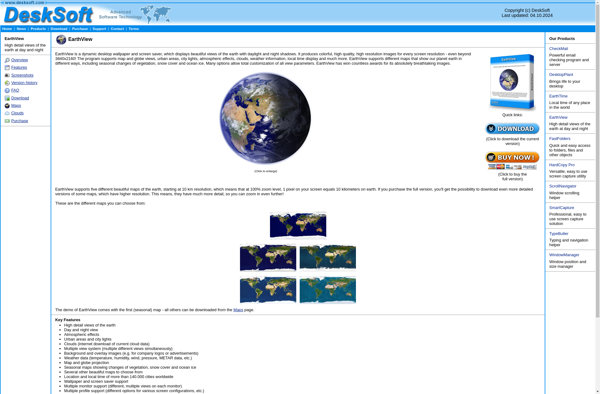
EarthView
Earth 3D
Living Earth Desktop
Xplanetfx
Catfood earth