Old Maps Online
Old Maps Online: Explore Antique Maps & Georeference
Free historical map viewer with over 370,000 maps from libraries and archives worldwide
What is Old Maps Online?
Old Maps Online is a free web application to view, search, share and georeference historical maps. It was launched in 2010 by Klokan Technologies GmbH in cooperation with libraries and archives from all over the world.
The site contains a collection of over 370,000 maps and views from the 15th to 20th century. The maps come from institutions like the British Library, Library of Congress, National Library of Scotland, New York Public Library, Biblioteca Nacional de España, and many more.
Users can browse the map images by location, contributing institution, date, theme, and other categories. There is a search function to find maps by keyword or geographic area. Once you select a map, you can zoom and pan to explore it in detail.
Registered users can bookmark maps, georeference them by placing control points to match them with modern map views, make annotations, and collect maps into thematic sets for sharing. There are also drawing/measuring tools available.
Some key features of Old Maps Online:
- Free access to hundreds of thousands of high quality scans of antique and historical maps
- Intuitive map viewer with zoom, pan, and georeferencing capabilities
- Advanced search functions and map filtering/faceting options
- User accounts to bookmark, annotate, collect and share map images
- Drawing and measurement tools
- Embed maps from the site into external webpages
Old Maps Online makes historical cartography easily accessible to everyone for non-commercial use. It's an invaluable resource for map enthusiasts, historians, genealogists, geographers, and anyone interested in the history of cartography.
Old Maps Online Features
Features
- Allows browsing and exploring historical maps
- Provides georeferencing tools to align maps to modern coordinate systems
- Contains over 370,000 high resolution maps from libraries and archives globally
- Has powerful search and filtering capabilities
- Supports creating and sharing custom map collections
Pricing
- Free
Pros
Cons
Official Links
Reviews & Ratings
Login to ReviewThe Best Old Maps Online Alternatives
Top Education & Reference and Historical Reference and other similar apps like Old Maps Online
Here are some alternatives to Old Maps Online:
Suggest an alternative ❐Google Maps

Google Earth
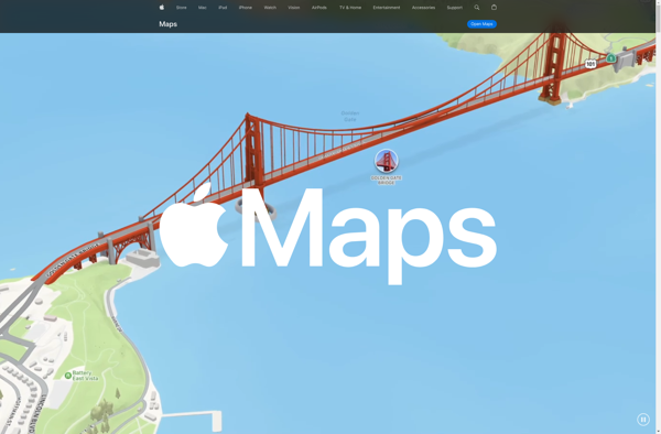
Apple Maps
TransforMap
Planet Labs
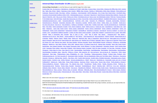
Universal Maps Downloader
TomTom MyDrive
Guru Maps
