GeoNET
GeoNET: Open-Source Geographic Network Modelling and Analysis Software
GeoNET is an open-source geographic network modelling and analysis software. It allows users to create, analyze, and visualize spatial networks such as transportation, infrastructure, and utility networks. Key features include network partitioning, routing, catchment analysis, and integration with GIS data.
What is GeoNET?
GeoNET is an open-source desktop application for geographic network analysis. Developed by CHAMP (Center for Health Assessment, Monitoring, and Policy), GeoNET provides tools for modeling, visualizing, and analyzing spatial networks such as transportation, infrastructure, and utility systems.
With GeoNET, users can import existing GIS network datasets, or create new network models from scratch. Key features of the software include:
- Network partitioning tools for dividing large networks into sectors and zones
- Advanced network routing algorithms such as Dijkstra's shortest path
- Service area and catchment analysis based on travel time or distance
- Integrated OR database for managing network attributes and connectivity
- Custom network analysis tools and scripting interface
- 2D and 3D network visualization with interactive layouts
GeoNET provides an accessible framework for representing and evaluating real-world spatial networks across a variety of disciplines. The open-source codebase enables customization and development of new algorithms as needed. Output and analysis results can be exported to common GIS formats for further spatial analysis and mapping.
With its focus on applied network analysis tools, GeoNET serves as a valuable solution for transportation planning, logistics, public services provisioning, infrastructure management, and other applications involving networked geography.
GeoNET Features
Features
- Network partitioning
- Routing analysis
- Catchment analysis
- Integration with GIS data
Pricing
- Open Source
Pros
Cons
Official Links
Reviews & Ratings
Login to ReviewThe Best GeoNET Alternatives
View all GeoNET alternatives with detailed comparison →
Top Education & Reference and Geographic Information Systems and other similar apps like GeoNET
Here are some alternatives to GeoNET:
Suggest an alternative ❐Google Maps

Waze

MAPS.ME

OsmAnd

HERE WeGo

Organic Maps

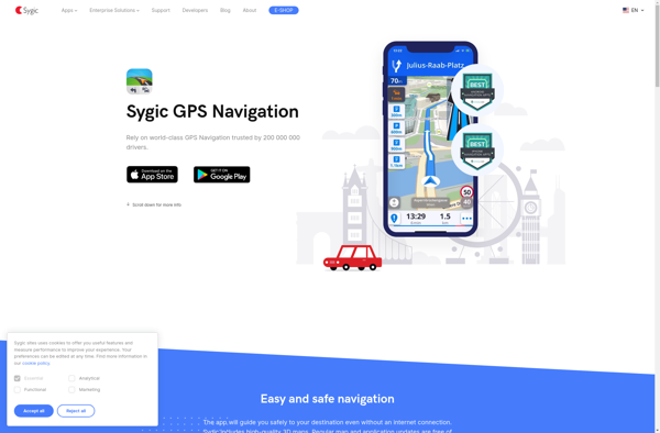
Sygic GPS Navigation
Apple Maps

ICoyote

Yandex Maps

2GIS

Magic Earth
