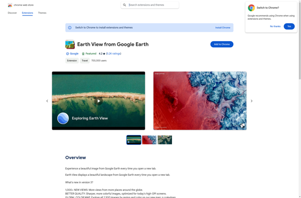
Earth View from Google Earth
Description: Earth View from Google Earth is a browser extension that sets your new tab page background to beautiful satellite images of Earth from Google Earth. It offers stunning, high-definition views of landscapes, cities, and landmarks from around the world.
Type: software
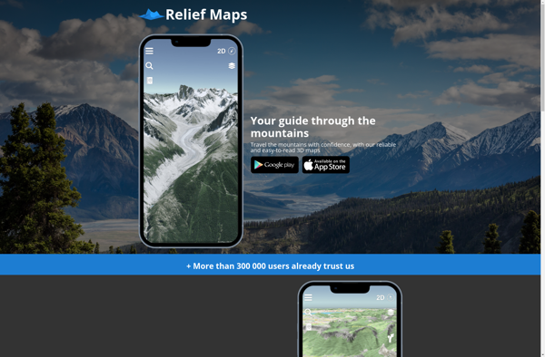
Relief Maps
Description: Relief Maps is a desktop software for creating 3D terrain maps and models from elevation data. It allows importing datasets and has tools to edit and visualize terrain, drape aerial images or maps over it, and export the maps to various 3D file formats.
Type: software