GPSies

GPSies

GPSies is a free online route planner and GPS track recording tool. Users can plan routes by entering locations or uploading GPS tracks, view topographic maps, 3D satellite imagery, and share planned routes or recorded GPS tracks publicly or privately.
GPSies image
gps navigation route-planning trip-planning

GPSies: Free Online Route Planner and GPS Track Recording Tool

Plan routes by entering locations or uploading GPS tracks, view topographic maps, 3D satellite imagery, and share planned routes or recorded GPS tracks publicly or privately.

What is GPSies?

GPSies is a free online route planning and GPS track recording tool. It allows users to easily plan routes by entering locations or uploading GPS tracks, view interactive topographic maps and 3D satellite imagery of the route area, analyze elevation profiles of planned routes, measure distances of routes, and share planned routes publicly for others to view and download or privately with select people.

Some key features of GPSies include:

  • Intuitive user interface for planning routes by entering locations on a map or uploading GPX or TCX files
  • Topographic maps, aerial imagery, and elevation heatmaps to view and analyze route areas
  • 3D satellite view using Cesium technology for a more immersive route planning experience
  • Options to make planned routes public, unlisted, or private
  • Community features for discovering, downloading, and commenting on public routes uploaded by other users
  • Integration with external services like Wikiloc, Facebook, and Google Earth
  • Mobile apps for iOS and Android for recording and uploading GPS tracks
  • Ability to export planned routes as GPX files for use with GPS devices

With its focus being more on route planning versus social sharing, GPSies offers a simple but powerful set of tools for researching and mapping out hiking, cycling, running, or walking routes. Its integration with various mapping technologies, community features, and mobile apps make it easy for outdoor enthusiasts to plan their next adventure.

GPSies Features

Features

  1. Allows users to plan routes by entering locations or uploading GPS tracks
  2. Provides topographic maps and 3D satellite imagery
  3. Users can share planned routes or recorded GPS tracks publicly or privately
  4. Web-based so accessible on all devices with an internet connection
  5. Mobile app available for Android and iOS
  6. Large database of user generated routes and tracks

Pricing

  • Free

Pros

Free to use

Intuitive interface

Good map and satellite imagery

Active user community for finding routes

Can export routes to GPS devices

No ads or paid tiers

Cons

Limited customization options

No advanced route planning features

Mobile app lacks some web features

Requires internet connection

Base maps could have more details


The Best GPSies Alternatives

Top Travel & Location and Gps & Navigation and other similar apps like GPSies


MotionX GPS icon

MotionX GPS

MotionX GPS is a popular GPS and navigation app developed specifically for the iPhone. It provides turn-by-turn voice guided navigation with rich 3D maps. Key features include:Turn-by-turn driving and walking directions with voice guidanceOffline maps for navigation without an internet connectionTraffic information along your route and alternate routes to avoid...
MotionX GPS image
OruxMaps icon

OruxMaps

OruxMaps is a feature-rich Android app designed specifically for outdoor activities like hiking, mountain biking, road cycling, trail running, geocaching, and more. Some key features include:Offline maps - Download detailed topographic, outdoor, cycling, and hiking maps for offline use.Route planning - Plan routes and courses on the map, including waypoints...
OruxMaps image
Komoot icon

Komoot

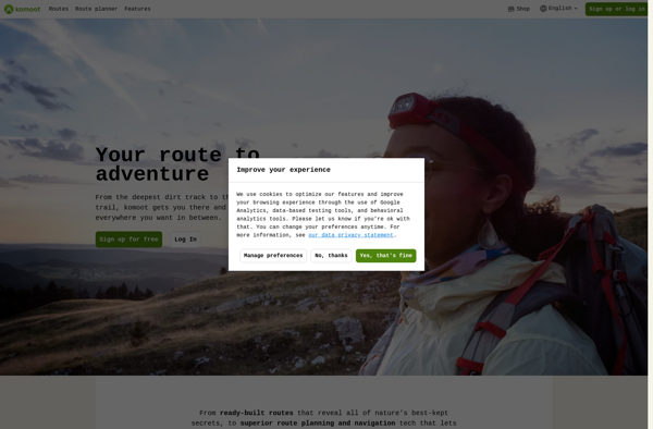
Komoot is a popular route planning and navigation app designed specifically for outdoor activities like cycling, hiking, and mountain biking. Its key features include:Detailed topographic maps with terrain info, trail conditions, and points of interestTurn-by-turn voice navigation that works offlinePlanning routes by choosing destinations or dragging routesElevation profiles and gradients...
Komoot image
RouteConverter icon

RouteConverter

RouteConverter is an open source, cross-platform software application that allows users to convert routes and GPS tracks between over 200 different formats. It supports all common GPS file types like GPX, TCX, KML, FIT, IGC and many more obscure formats.Some key features of RouteConverter include:Intuitive user interface for viewing, editing...
RouteConverter image
GPSBabel icon

GPSBabel

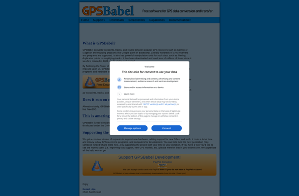
GPSBabel is a popular open source software application used to convert GPS coordinate data between a variety of different file formats. It supports over 100 file types, including those used by major GPS manufacturers like Garmin, Magellan, and TomTom as well as geospatial software packages like Google Earth, ArcGIS, and...
GPSBabel image
Wikiloc Outdoor Navigation GPS icon

Wikiloc Outdoor Navigation GPS

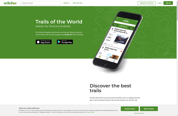
Wikiloc Outdoor Navigation GPS is a popular mobile app designed specifically for outdoor sports enthusiasts. It allows users to navigate trails and routes using GPS tracking, even when offline or without cell service. The app has a large database of user-created GPS trails that can be downloaded for offline use.Some...
Wikiloc Outdoor Navigation GPS image