RouteConverter is an open source software for converting GPS device routes and tracks between various formats. It supports over 200 file formats and allows viewing, editing and converting routes and tracks between formats like GPX, TCX, KML, and more.
RouteConverter is an open source software for converting GPS device routes and tracks between various formats. It supports over 200 file formats and allows viewing, editing and converting routes and tracks between formats like GPX, TCX, KML, and more.
What is RouteConverter?
RouteConverter is an open source, cross-platform software application that allows users to convert routes and GPS tracks between over 200 different formats. It supports all common GPS file types like GPX, TCX, KML, FIT, IGC and many more obscure formats.
Some key features of RouteConverter include:
Intuitive user interface for viewing, editing and converting routes and tracks
Support for over 200 different GPS file formats for import and export
Bulk conversion tools to convert multiple files between formats
Interactive map view to see routes and waypoints overlaid on maps
Powerful route and track editing tools to fix errors, add/remove points, etc.
Export options to image formats, PDF reports, spreadsheets and more
Completely free and open source software with no limits on usage or functionality
RouteConverter runs on Windows, Mac OSX and Linux platforms. It can be useful for outdoor enthusiasts, athletes, geospatial professionals or anyone who works with GPS data files and needs to convert them between formats or edit routes and tracks.
RouteConverter Features
Features
Converts routes and tracks between over 200 formats
Supports GPX, TCX, KML and many more formats
Allows viewing, editing and converting routes and tracks
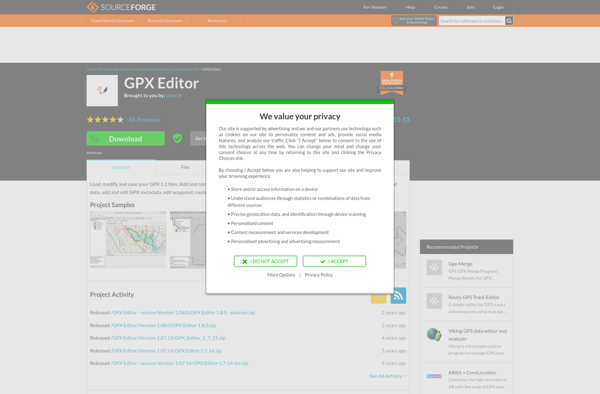
GPX Editor is a powerful yet easy-to-use tool for working with GPX (GPS Exchange Format) files. As an open-source, cross-platform application, it provides a wide range of features for viewing, editing, and analyzing GPS tracks, routes, and waypoints.With its intuitive user interface, you can quickly import GPX files from any...
Garmin MapSource is a desktop mapping application developed by Garmin for use with their series of automotive and recreational GPS units. It allows users to view, edit, organize and create maps, routes, waypoints, and tracks on their Windows or Mac computer and then transfer them to their compatible Garmin GPS...
GPSies is a free online route planning and GPS track recording tool. It allows users to easily plan routes by entering locations or uploading GPS tracks, view interactive topographic maps and 3D satellite imagery of the route area, analyze elevation profiles of planned routes, measure distances of routes, and share...
QLandkarte GT is a versatile, cross-platform open source mapping software for using, viewing, editing, and analyzing GPS data. It allows importing tracks, waypoints, and routes from GPS devices for viewing on custom maps.Some key features of QLandkarte GT include:Importing and exporting GPS data in various formats like GPX, CSV, KML,...
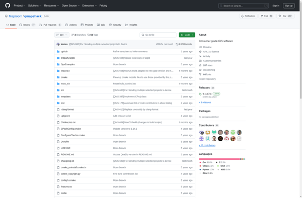
QMapShack is a free, open-source mapping software designed for outdoor activities like hiking, biking, geocaching, and more. Some key features include:Works offline for navigation in remote areas using pre-downloaded mapsSupports online map sources like OpenStreetMap, Bing, Mapbox, and morePowerful route planning tools to map out hiking trails, bike tours, etc.Track...
GPS Track Editor is a feature-rich, open source software application for working with GPS track logs and waypoint data. It enables users to easily view, edit, filter, and organize GPS tracks, routes, and waypoints collected from devices like handheld GPS units, smartphones, and sports watches.Some key features of GPS Track...
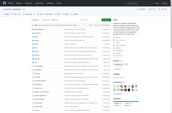
Pytrainer is an open-source application designed for logging and tracking various fitness activities including strength training exercises, cardio workouts, weight measurements, and nutritional information. Developed in Python with a GTK+ graphical interface, it offers a wide range of features to help athletes and personal trainers monitor progress over time.Key capabilities...
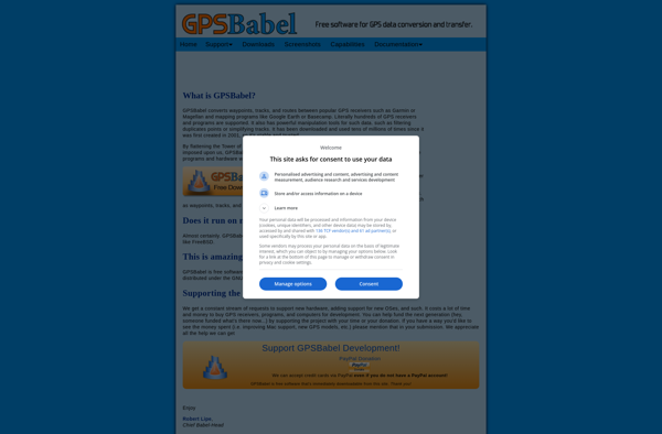
GPSBabel is a popular open source software application used to convert GPS coordinate data between a variety of different file formats. It supports over 100 file types, including those used by major GPS manufacturers like Garmin, Magellan, and TomTom as well as geospatial software packages like Google Earth, ArcGIS, and...
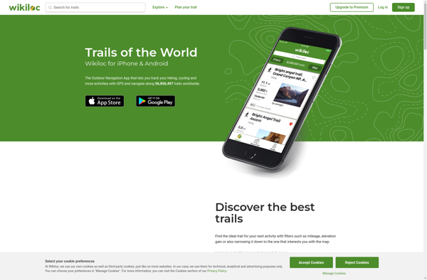
Wikiloc Outdoor Navigation GPS is a popular mobile app designed specifically for outdoor sports enthusiasts. It allows users to navigate trails and routes using GPS tracking, even when offline or without cell service. The app has a large database of user-created GPS trails that can be downloaded for offline use.Some...
GpsPrune is a versatile GPS track editor and viewer for Windows, Linux and Mac operating systems. As an open source software, it is available for free download and use.Some of the key features of GpsPrune include:Importing and exporting GPS tracks in formats like GPX, KML, KMZ, GPSBabel and moreViewing tracks...
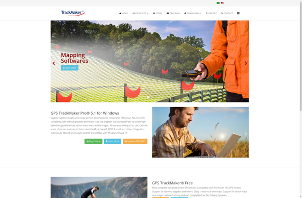
GPS TrackMaker is a feature-rich Windows desktop application designed specifically for GPS users who record tracks and waypoints. It provides a wide range of tools for organizing, analyzing, and sharing GPS data.With GPS TrackMaker you can import GPS data directly from your device or GPS logging software. Over 200 different...
BT747 is a free, open source Bluetooth diagnostic utility and exploration tool for Windows. It enables users to scan for nearby Bluetooth devices, connect to them, browse services/characteristics, read & write values, and more.Some key features of BT747 include:Scanning and discovery of Bluetooth Low Energy (BLE) devicesConnecting and pairing with...
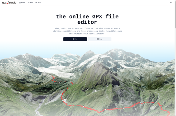
gpx.studio is a free, open source web application for working with GPS data in the GPX format. It provides a suite of tools for viewing, editing and analyzing GPX tracks, routes and waypoints.Some key features of gpx.studio include:Interactive map to visualize tracks, routes and waypointsPowerful track editor to fix errors,...