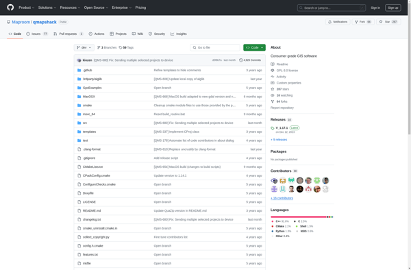
QMapShack
QMapShack is an open-source mapping software for outdoor enthusiasts. It allows users to plan routes, track GPS positions, and view topographic maps online and offline.
QMapShack: Open-Source Mapping Softwares
QMapShack is an open-source mapping software for outdoor enthusiasts. It allows users to plan routes, track GPS positions, and view topographic maps online and offline.
What is QMapShack?
QMapShack is a free, open-source mapping software designed for outdoor activities like hiking, biking, geocaching, and more. Some key features include:
- Works offline for navigation in remote areas using pre-downloaded maps
- Supports online map sources like OpenStreetMap, Bing, Mapbox, and more
- Powerful route planning tools to map out hiking trails, bike tours, etc.
- Track recording and live GPS tracking with position display on the map
- Support for a wide variety of map file formats including Garmin maps
- Annotations and object placement on the map for points of interest
- Works on Windows, Linux, macOS, and Android devices
With both online and offline functionality combined with route planning and GPS features, QMapShack aims to be an all-in-one solution for outdoor enthusiasts looking for a flexible and capable mapping software.
QMapShack Features
Features
- View topographic and online maps offline
- Plan routes and tracks
- Record GPS tracks
- Analyze elevation profiles
- Navigate using compass
- Geocaching support
Pricing
- Open Source
Pros
Free and open source
Works offline
Active development community
Cross-platform
Cons
Steep learning curve
No mobile app
Limited cloud sync features
Official Links
Reviews & Ratings
Login to ReviewThe Best QMapShack Alternatives
View all QMapShack alternatives with detailed comparison →
Top Travel & Location and Mapping & Navigation and other similar apps like QMapShack
Here are some alternatives to QMapShack:
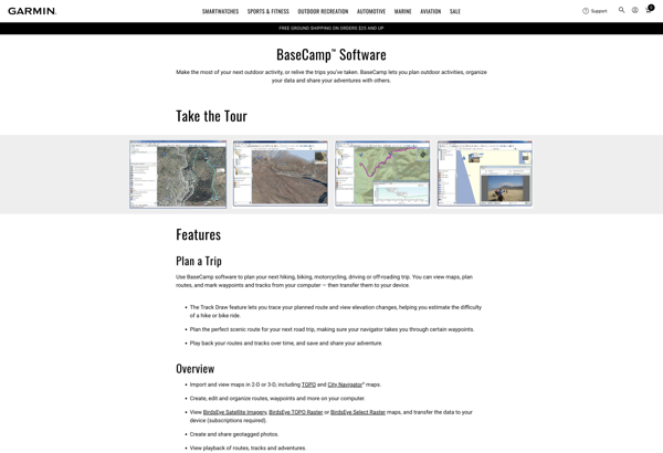
Suggest an alternative ❐Garmin BaseCamp
Garmin BaseCamp is a free desktop trip planning software application made by Garmin for use with their line of GPS devices. It allows users to view, organize, and share maps, waypoints, routes, tracks, and more between their computer and compatible Garmin GPS device.Key features of Garmin BaseCamp include:Import and view...
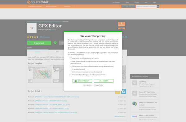
GPX Editor
GPX Editor is a powerful yet easy-to-use tool for working with GPX (GPS Exchange Format) files. As an open-source, cross-platform application, it provides a wide range of features for viewing, editing, and analyzing GPS tracks, routes, and waypoints.With its intuitive user interface, you can quickly import GPX files from any...
Garmin MapSource
Garmin MapSource is a desktop mapping application developed by Garmin for use with their series of automotive and recreational GPS units. It allows users to view, edit, organize and create maps, routes, waypoints, and tracks on their Windows or Mac computer and then transfer them to their compatible Garmin GPS...
QLandkarte GT
QLandkarte GT is a versatile, cross-platform open source mapping software for using, viewing, editing, and analyzing GPS data. It allows importing tracks, waypoints, and routes from GPS devices for viewing on custom maps.Some key features of QLandkarte GT include:Importing and exporting GPS data in various formats like GPX, CSV, KML,...

RouteConverter
RouteConverter is an open source, cross-platform software application that allows users to convert routes and GPS tracks between over 200 different formats. It supports all common GPS file types like GPX, TCX, KML, FIT, IGC and many more obscure formats.Some key features of RouteConverter include:Intuitive user interface for viewing, editing...

GPS Track Editor
GPS Track Editor is a feature-rich, open source software application for working with GPS track logs and waypoint data. It enables users to easily view, edit, filter, and organize GPS tracks, routes, and waypoints collected from devices like handheld GPS units, smartphones, and sports watches.Some key features of GPS Track...

Pytrainer
Pytrainer is an open-source application designed for logging and tracking various fitness activities including strength training exercises, cardio workouts, weight measurements, and nutritional information. Developed in Python with a GTK+ graphical interface, it offers a wide range of features to help athletes and personal trainers monitor progress over time.Key capabilities...
GpsPrune
GpsPrune is a versatile GPS track editor and viewer for Windows, Linux and Mac operating systems. As an open source software, it is available for free download and use.Some of the key features of GpsPrune include:Importing and exporting GPS tracks in formats like GPX, KML, KMZ, GPSBabel and moreViewing tracks...
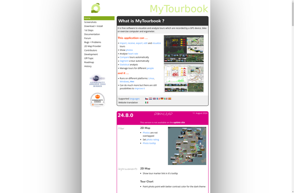
MyTourbook
MyTourbook is a free, open-source bicycle tour planning and navigation software. It is designed specifically for bicyclists to map out routes, discover Points of Interest along the way, track mileage and elevation, and organize tours.Some key features of MyTourbook include:Interactive mapping to plot out routes and add waypointsIntegration with online...
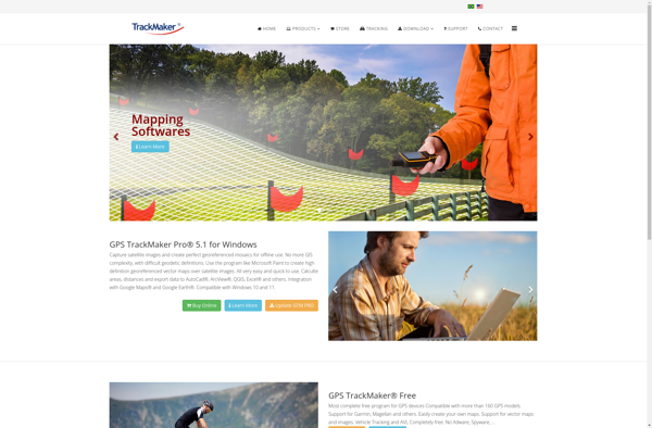
GPS TrackMaker
GPS TrackMaker is a feature-rich Windows desktop application designed specifically for GPS users who record tracks and waypoints. It provides a wide range of tools for organizing, analyzing, and sharing GPS data.With GPS TrackMaker you can import GPS data directly from your device or GPS logging software. Over 200 different...
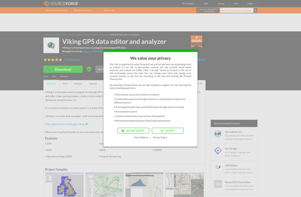
Viking GPS data editor and analyzer
Viking is a free, open-source application for working with GPS data on Linux, Windows, and Mac operating systems. It enables users to view, edit, and analyze GPS tracks, routes, and waypoints from a variety of devices.Key features of Viking include:Import GPX, CSV, KML, GeoJSON and other formatsEdit waypoint, route, and...
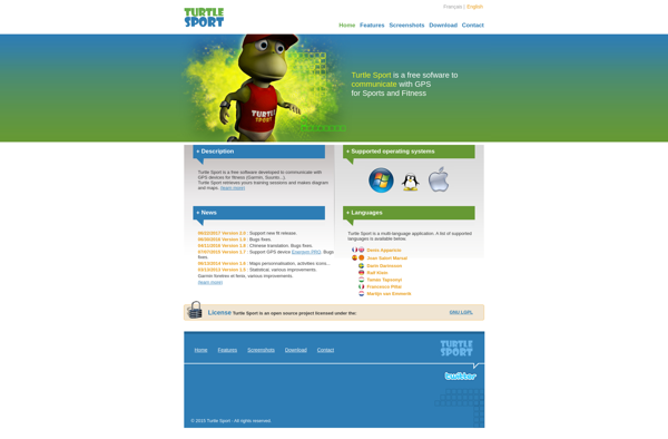
Turtle Sport
Turtle Sport is an open source web-based software application designed specifically for managing recreational and amateur sports leagues, clubs and teams. Some key features of Turtle Sport include:League, division and team management - Add leagues, divisions, teams and define relationships between them.Player registration and rostering - Manage player accounts, collect...
ZombieTrackerGPS
ZombieTrackerGPS is a mobile app available for iOS and Android that crowdsources up-to-date information about zombie movements to help users navigate safely during a zombie apocalypse scenario. The app allows users to view zombie sightings, horde locations, and zombie hotspots on a map in real-time using data contributed by other...
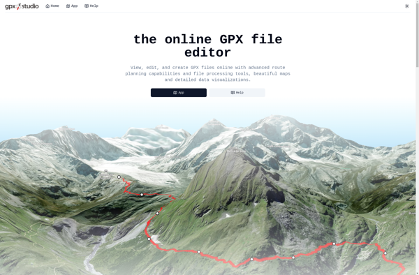
Gpx.studio
gpx.studio is a free, open source web application for working with GPS data in the GPX format. It provides a suite of tools for viewing, editing and analyzing GPX tracks, routes and waypoints.Some key features of gpx.studio include:Interactive map to visualize tracks, routes and waypointsPowerful track editor to fix errors,...