QLandkarte GT

QLandkarte GT: Open Source Mapping Softwares
QLandkarte GT is an open source mapping software for viewing, editing, and analyzing GPS data. It supports importing tracks, waypoints, and routes from GPS devices. Key features include creating and printing maps, geocoding, routing, and GPS communication.
What is QLandkarte GT?
QLandkarte GT is a versatile, cross-platform open source mapping software for using, viewing, editing, and analyzing GPS data. It allows importing tracks, waypoints, and routes from GPS devices for viewing on custom maps.
Some key features of QLandkarte GT include:
- Importing and exporting GPS data in various formats like GPX, CSV, KML, and more
- Creating and printing custom maps from OpenStreetMap or other sources
- Geocoding places and addresses to show as points on the map
- Advanced route planning and navigation features
- Communication and transfer of data to/from GPS devices
- Waypoint, track, and route editing tools
- Analytic tools like elevation profiles, statistics, and quality checks
QLandkarte GT runs on Windows, Linux, and macOS platforms. It has an intuitive UI and is targeted at outdoor enthuiasts, travelers, and GIS professionals looking for a capable free and open source mapping toolkit.
QLandkarte GT Features
Features
- Importing and exporting GPS data
- Creating and printing maps
- Geocoding and reverse geocoding
- Routing and navigation
- Waypoint and track management
- Elevation profile graphs
- Support for multiple map sources and formats
Pricing
- Open Source
Pros
Cons
Official Links
Reviews & Ratings
Login to ReviewThe Best QLandkarte GT Alternatives
Top Travel & Location and Mapping & Navigation and other similar apps like QLandkarte GT
Here are some alternatives to QLandkarte GT:
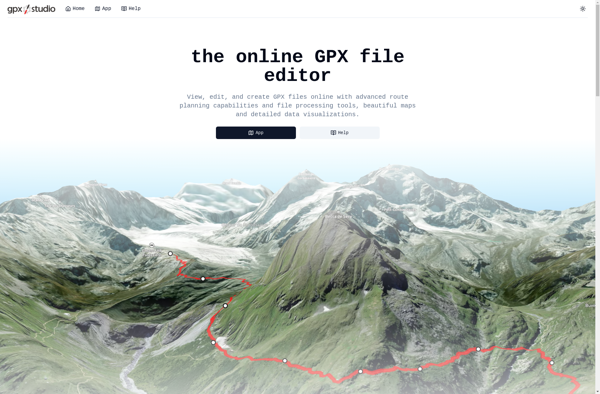
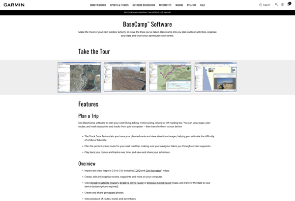
Suggest an alternative ❐Garmin BaseCamp
GPX Editor
Garmin MapSource

RouteConverter

QMapShack
GPS Track Editor

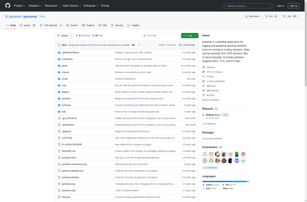
Pytrainer
GpsPrune
GPS TrackMaker

Viking GPS data editor and analyzer
Gpx.studio
