MyTourbook

MyTourbook

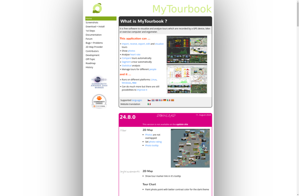
MyTourbook is a free, open source tool for planning, navigating, and sharing bicycle tours. It allows users to map out routes, find Points of Interest, track mileage, and more. MyTourbook aims to provide an intuitive interface for bicyclists to organize and share their adventures
MyTourbook image
bicycle navigation route-planning trip-tracking

MyTourbook: Free Bicycle Tour Planning Tool

Plan, navigate, and share your bicycle tours with MyTourbook, a free open source tool offering route mapping, POI tracking, mileage logging and more, for an intuitive and enjoyable cycling experience.

What is MyTourbook?

MyTourbook is a free, open-source bicycle tour planning and navigation software. It is designed specifically for bicyclists to map out routes, discover Points of Interest along the way, track mileage and elevation, and organize tours.

Some key features of MyTourbook include:

  • Interactive mapping to plot out routes and add waypoints
  • Integration with online map sources to find bicycle-friendly roads and trails
  • Ability to create organized tours with daily segments and destinations
  • Photo, note, and highlight management for capturing details of the adventure
  • Data tracking such as speed, elevation gain, distance, etc for each ride
  • Exporting tours to share online or view on mobile devices

With an emphasis on intuition and flexibility, MyTourbook aims to provide everything an independent bicycle tourist needs to plan out their next great journey. Its open source nature allows constant improvement by an active development community. MyTourbook is available on Windows, Linux and Mac OSX platforms.

MyTourbook Features

Features

  1. Route planning
  2. Turn-by-turn navigation
  3. POI database
  4. Mileage tracking
  5. Elevation profiles
  6. Sharing tours online

Pricing

  • Open Source

Pros

Free and open source

Intuitive interface

Active development community

Customizable and extensible

Cons

Limited mobile app availability

Steep learning curve for some features


The Best MyTourbook Alternatives

Top Travel & Location and Trip Planning and other similar apps like MyTourbook


Garmin BaseCamp icon

Garmin BaseCamp

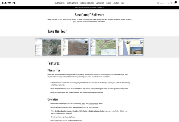
Garmin BaseCamp is a free desktop trip planning software application made by Garmin for use with their line of GPS devices. It allows users to view, organize, and share maps, waypoints, routes, tracks, and more between their computer and compatible Garmin GPS device.Key features of Garmin BaseCamp include:Import and view...
Garmin BaseCamp image
Golden Cheetah icon

Golden Cheetah

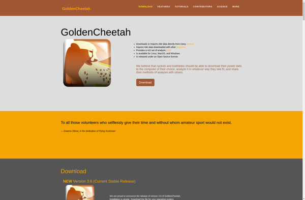
Golden Cheetah is a free, open source, cross-platform software program designed for analyzing cycling performance data. It enables cyclists and coaches to study metrics like power, speed, cadence, heart rate and many more in order to optimize training and racing performance.Some key features of Golden Cheetah include:Import and visualization of...
Golden Cheetah image
QMapShack icon

QMapShack

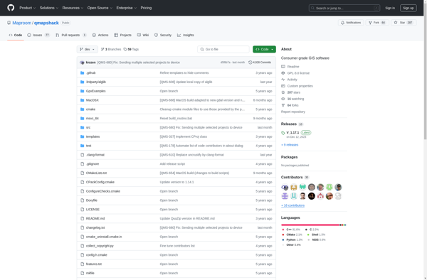
QMapShack is a free, open-source mapping software designed for outdoor activities like hiking, biking, geocaching, and more. Some key features include:Works offline for navigation in remote areas using pre-downloaded mapsSupports online map sources like OpenStreetMap, Bing, Mapbox, and morePowerful route planning tools to map out hiking trails, bike tours, etc.Track...
QMapShack image
Garmin Training Center icon

Garmin Training Center

Garmin Training Center is a free software application from Garmin that works with many of their GPS-enabled fitness devices including running watches, cycling computers, and fitness trackers. It provides a way for users to connect their Garmin devices to their computer to track, analyze and share their workout data.Some of...
Garmin Training Center image
ZombieTrackerGPS icon

ZombieTrackerGPS

ZombieTrackerGPS is a mobile app available for iOS and Android that crowdsources up-to-date information about zombie movements to help users navigate safely during a zombie apocalypse scenario. The app allows users to view zombie sightings, horde locations, and zombie hotspots on a map in real-time using data contributed by other...
ZombieTrackerGPS image