Nav4All is an open-source, customizable navigation software designed specifically for people with visual, cognitive and mobility impairments. It provides audio and tactile guidance to make navigating unfamiliar environments easier and safer.
Open-source navigation software for visually, cognitively, or mobility impaired individuals, providing audio and tactile guidance for safe navigation.
What is Nav4All?
Nav4All is an open-source navigation software application designed specifically to meet the needs of people with disabilities that impact mobility and navigation. It was created by a non-profit organization focused on developing helpful technologies for the disability community.
The software provides customizable verbal prompts, sounds, and haptic feedback through connected devices to guide users along routes. It has settings to accommodate different impairment types and accessibility needs. Key features include:
Clear audio instructions for wayfinding
Optional haptic cues through linked wearables
Simplified touchscreen interface
Works offline once routes are downloaded
Settings for vision, mobility, hearing impairments
Completely hands-free operation possible
Community-sourced maps/navigation data
Nav4All aims to give confidence for independence in navigating new places. Initial testing found the software helped users have less anxiety, fewer mobility incidents, and higher route completion compared to standard navigation apps. It continues to add new features and capabilities over time with user feedback.
Waze is a crowd-sourced GPS navigation and traffic app launched in 2008. It provides turn-by-turn navigation along with real-time traffic updates, road hazard reports, and user-submitted edits of roads and addresses.Key features of Waze include:Real-time traffic updates - Users can report accidents, traffic jams, police traps, etc. to alert other...
OruxMaps is a feature-rich Android app designed specifically for outdoor activities like hiking, mountain biking, road cycling, trail running, geocaching, and more. Some key features include:Offline maps - Download detailed topographic, outdoor, cycling, and hiking maps for offline use.Route planning - Plan routes and courses on the map, including waypoints...
HERE WeGo is a free map and navigation app developed by HERE Technologies for iOS and Android devices. It allows users to navigate by car, public transportation, foot or bike using turn-by-turn voice guided directions. Key features of HERE WeGo include:Offline maps - Download maps to your device so you...
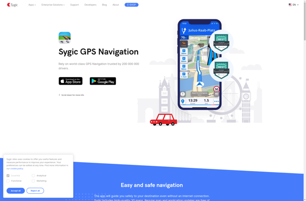
Sygic GPS Navigation is a popular offline navigation application for Android and iOS devices. It allows users to navigate anywhere in the world without needing an internet or data connection. Some key features of Sygic include:Detailed maps of Europe, North America, Australia, Brazil, and other regions that are optimized for...
NAVIGON is a popular navigation and route planning app developed by Garmin for iOS and Android smartphones and tablets. It offers turn-by-turn GPS navigation with voice guidance to help users navigate to their destinations.Key features of NAVIGON include:Detailed maps of North America, Europe, Australia and New Zealand with free lifetime...
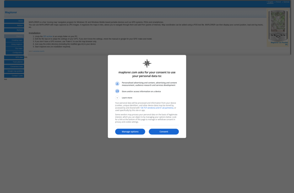
Maplorer is a powerful yet easy-to-use web-based mapping and geospatial data visualization platform. It provides a suite of tools for creating insightful map visualizations, performing spatial analysis, managing geographic data sets, and collaborating with team members.With Maplorer, users can quickly create custom web maps by uploading their own geospatial data...