BlackBerry Traffic
BlackBerry Traffic is a traffic information app developed by BlackBerry Limited. It provides users with real-time traffic data, incident reports, drive times and routing options.
BlackBerry Traffic: Real-Time Traffic Info
Real-time traffic information app from BlackBerry Limited, providing drive times, routing options, and incident reports.
What is BlackBerry Traffic?
BlackBerry Traffic is a mobile application developed by BlackBerry Limited to provide users with real-time traffic information and routing assistance. The app is available for BlackBerry 10 and Android devices.
Key features of BlackBerry Traffic include:
- Real-time traffic flow data - the app shows current traffic conditions on roads using colored lines to indicate the speed of traffic flow
- Incident reports - users are notified of any accidents, road construction, or other incidents affecting traffic
- Drive times and alternate routes - the app calculates drive times along the user's route and suggests faster alternate routes if available
- Traffic optimized routing - when getting directions to a destination, routes are optimized to avoid traffic delays as much as possible
- Traffic camera access - users can view live footage from nearby traffic cameras before getting on the highway
- Works offline - the app caches mapping data so most features work without an internet connection
- Voice-guided navigation - turn-by-turn directions are accompanied by voice guidance
Overall, BlackBerry Traffic leverages the company's expertise in mobility and security to provide an intuitive real-time traffic information service for drivers.
BlackBerry Traffic Features
Features
- Real-time traffic updates
- Incident reports
- Drive time estimates
- Route options
Pricing
- Free
Pros
Accurate traffic data
Clean interface
Good routing options
Cons
Only available on BlackBerry devices
Limited geographic availability
Reviews & Ratings
Login to ReviewThe Best BlackBerry Traffic Alternatives
View all BlackBerry Traffic alternatives with detailed comparison →
Top Travel & Location and Navigation & Maps and other similar apps like BlackBerry Traffic
Here are some alternatives to BlackBerry Traffic:
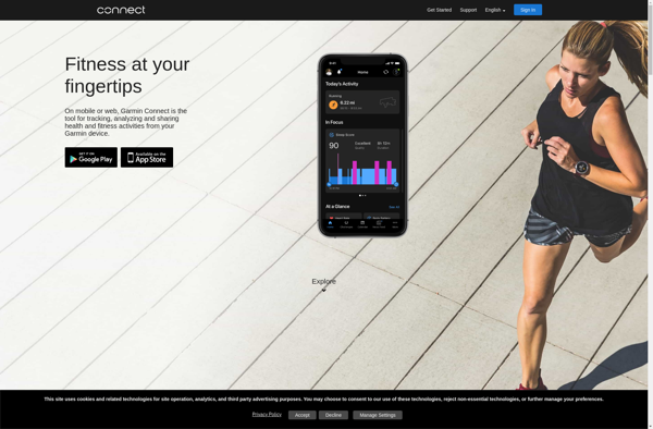
Suggest an alternative ❐Garmin Connect
Garmin Connect is a free online fitness tracking and social platform developed by Garmin that syncs with Garmin wearable devices like smartwatches and fitness trackers. It provides users with detailed data and analytics on their health, fitness activities, sleep patterns and more to help them meet their health and fitness...
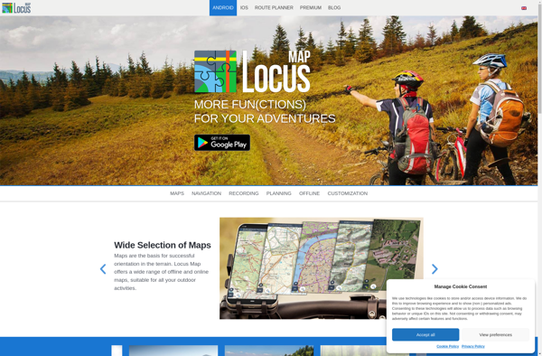
Locus Map
Locus Map is a feature-rich GPS navigation and tracking app designed specifically for outdoor activities like hiking, geocaching, cycling, and more. It works offline for reliability and lets you download detailed topographic and cycling maps to navigate on the go when data connectivity is limited.Key features include:Offline topographic, cycling, and...
Waze
Waze is a crowd-sourced GPS navigation and traffic app launched in 2008. It provides turn-by-turn navigation along with real-time traffic updates, road hazard reports, and user-submitted edits of roads and addresses.Key features of Waze include:Real-time traffic updates - Users can report accidents, traffic jams, police traps, etc. to alert other...

HERE WeGo
HERE WeGo is a free map and navigation app developed by HERE Technologies for iOS and Android devices. It allows users to navigate by car, public transportation, foot or bike using turn-by-turn voice guided directions. Key features of HERE WeGo include:Offline maps - Download maps to your device so you...

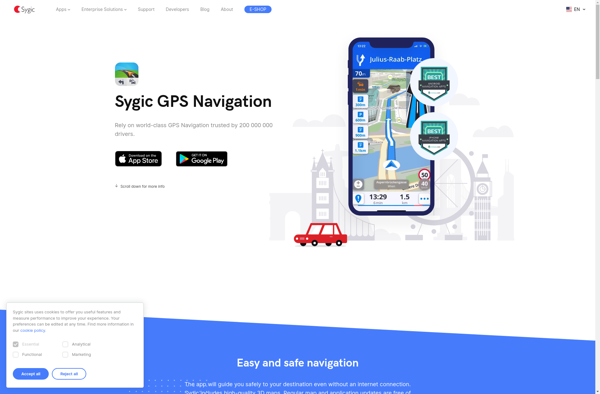
Sygic GPS Navigation
Sygic GPS Navigation is a popular offline navigation application for Android and iOS devices. It allows users to navigate anywhere in the world without needing an internet or data connection. Some key features of Sygic include:Detailed maps of Europe, North America, Australia, Brazil, and other regions that are optimized for...
TomTom GO Mobile
TomTom GO Mobile is a free mobile navigation and mapping app developed by TomTom for iOS and Android smartphones. It allows users to navigate by car or on foot using 3D maps that provide detailed street information, landmarks, traffic data, and turn-by-turn directions.Key features of TomTom GO Mobile include:Turn-by-turn voice...
NAVIGON
NAVIGON is a popular navigation and route planning app developed by Garmin for iOS and Android smartphones and tablets. It offers turn-by-turn GPS navigation with voice guidance to help users navigate to their destinations.Key features of NAVIGON include:Detailed maps of North America, Europe, Australia and New Zealand with free lifetime...

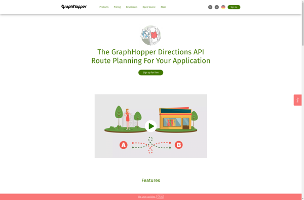
GraphHopper
GraphHopper is an open-source Java-based routing engine optimized for speed and memory efficiency. It uses road network data from OpenStreetMap to calculate the best route between locations for various modes of transportation including driving cars, riding bikes, walking, and more.Some key features of GraphHopper include:Fast routing calculations thanks to its...
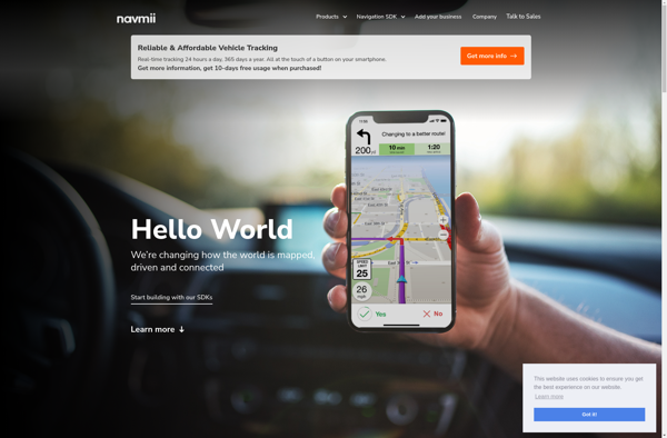
Navmii
Navmii is a free, open source GPS navigation software for Windows, Linux and Mac operating systems. It provides turn-by-turn voice guided navigation using OpenStreetMaps and allows users to download maps for offline usage.Key features of Navmii include:Voice guided navigation with street names pronunciationCustomizable maps with option to download maps for...
Scout by Telenav
Scout by Telenav is a free GPS navigation and maps app available for Android and iOS. It provides turn-by-turn voice guided navigation to help you get to your destination quickly and easily. Some key features of Scout include:Traffic avoidance - Scout will automatically route you around traffic jams to save...
EveryTrail
EveryTrail is a popular GPS-based hiking, biking, and trail app that helps outdoor enthusiasts discover, record, and share their adventures on trails worldwide. With a database of over 300,000 mapped trails, EveryTrail allows users to find trails based on location, difficulty, length, scenery and more.Some key features of EveryTrail include:Comprehensive...