TrekBuddy

TrekBuddy: Trip Planning and Journaling for Backpackers
A comprehensive trip planning and journaling app designed for backpackers and hikers, helping users map routes, log trail details, campsites, weather conditions, and experiences.
What is TrekBuddy?
TrekBuddy is a versatile backpacking and hiking app that aids outdoor enthusiasts in planning and documenting their adventures in nature. Whether heading out for a long-distance thru hike, a multi-day loop, or just a quick overnight trip, TrekBuddy streamlines the process of organizing gear lists, dialing in routes, booking campsites, and recording details from the trail.
At the core of the app is an interactive map on which users can plot out potential routes for upcoming trips. The map provides topographical details as well as information on trails, landmarks, and facilities to help determine the optimal path. TrekBuddy offers tools to measure total mileage and elevation gain/loss and allows trip itineraries to be customized to match each user's pace and fitness level.
In addition to trip planning features, TrekBuddy also serves as an electronic journal for documenting details while on the go. Built-in forms allow users to log campsite conditions, trail observations, weather patterns, gear notes, memorable wildlife sightings, and more. Photos, videos, and voice recordings can also be embedded right in the app to capture sights and sounds from the wilderness.
Upon returning from a big hike or backpacking excursion, all journal entries, media, and trip details can be compiled into a shareable trip report. This provides a convenient way for users to record and reminisce about their outdoor adventures. Whether shared with friends and family or saved as a personal keepsake, TrekBuddy transforms outdoor trips into lasting memories.
TrekBuddy Features
Features
- Trip planning
- Route mapping
- Trail logging
- Campsite details
- Weather logging
- Journaling
Pricing
- Freemium
Pros
Cons
Official Links
Reviews & Ratings
Login to ReviewThe Best TrekBuddy Alternatives
View all TrekBuddy alternatives with detailed comparison →
Top Travel & Location and Trip Planning and other similar apps like TrekBuddy
Here are some alternatives to TrekBuddy:
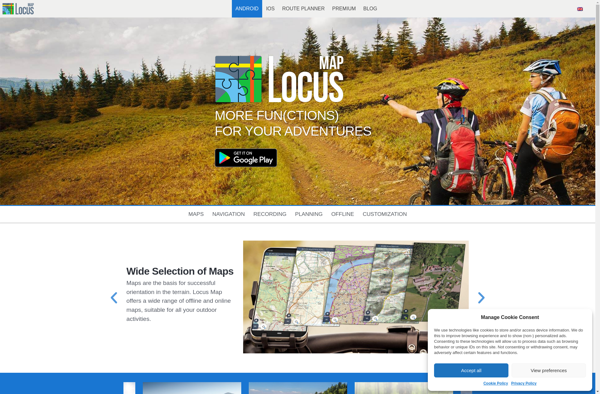
Suggest an alternative ❐Locus Map
OsmAnd

Organic Maps

Sygic GPS Navigation

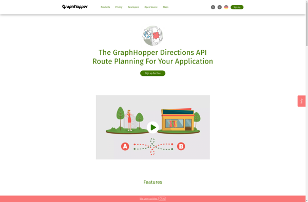
GraphHopper
BT747
EveryTrail
Mobile Trail Explorer
BbTracker
TripTrack

Trails - GPS tracker
Maplorer