Windows Maps is a mapping service developed by Microsoft that provides road maps, aerial and streetside imagery, and directions. It includes features like traffic info, search, and collection syncing across devices.
Windows Maps: Mapping Service with Road Maps & Directionss
Windows Maps is a mapping service developed by Microsoft that provides road maps, aerial and streetside imagery, and directions. It includes features like traffic info, search, and collection syncing across devices.
What is Windows Maps?
Windows Maps is a mapping service developed by Microsoft as part of the company's Windows services. It provides users with interactive road maps, aerial and streetside imagery, walking and driving directions, traffic information, location search, and the ability to save and sync collections like favorite places and routes across devices.
Key features of Windows Maps include:
Interactive road, aerial, and bird's eye 3D maps for locations around the world
Search for addresses, places of interest, and local businesses
Get walking, driving, and public transit directions and traffic information along a route
Streetside imagery for a ground-level view of destinations
Indoor maps and directions for some malls, airports, and other public locations
Create collections of favorite places and routes to save and access across PCs and mobile devices
AR navigation and directions overlapping the real world (in Windows 11)
Windows Maps leverages Bing Maps data and imaging capabilities for its mapping platform. It comes preinstalled on Windows devices and is designed as an alternative to Google Maps or Apple Maps, offering deeper integration with Microsoft's ecosystem through features like search and offline maps powered by Azure services.
Waze is a crowd-sourced GPS navigation and traffic app launched in 2008. It provides turn-by-turn navigation along with real-time traffic updates, road hazard reports, and user-submitted edits of roads and addresses.Key features of Waze include:Real-time traffic updates - Users can report accidents, traffic jams, police traps, etc. to alert other...
What Is MAPS.ME?MAPS.ME is a mobile maps and navigation app that provides detailed offline maps for over 200 countries. Originally open source, it was one of the first apps to make OpenStreetMap data accessible on mobile with a polished interface.Key FeaturesUsers download maps by country or region for fully offline...
OsmAnd (OpenStreetMap Automated Navigation Directions) is a free and open-source mobile map and navigation application developed for Android and iOS devices. It relies entirely on detailed, community-driven maps from the OpenStreetMap project and allows accessing them offline without an internet connection.Some of the key features and capabilities of OsmAnd include:Turn-by-turn...
HERE WeGo is a free map and navigation app developed by HERE Technologies for iOS and Android devices. It allows users to navigate by car, public transportation, foot or bike using turn-by-turn voice guided directions. Key features of HERE WeGo include:Offline maps - Download maps to your device so you...
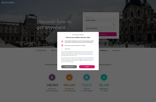
Rome2rio is a popular travel search engine and route planning website and app. It allows users to explore all possible transport options and routes between locations, compare prices across different modes of transport like flights, trains, buses and ferries, and book tickets from its site.Some key features of Rome2rio include:Comprehensive...
What Is Organic Maps?Organic Maps is a free, open-source maps and navigation app for Android and iOS. It uses OpenStreetMap data and works entirely offline — no internet connection needed for navigation, search, or route planning.Key FeaturesThe app provides turn-by-turn navigation for driving, cycling, and walking with voice guidance. Maps...
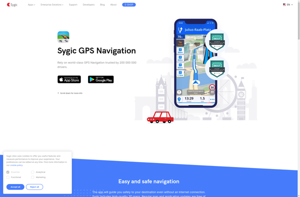
Sygic GPS Navigation is a popular offline navigation application for Android and iOS devices. It allows users to navigate anywhere in the world without needing an internet or data connection. Some key features of Sygic include:Detailed maps of Europe, North America, Australia, Brazil, and other regions that are optimized for...
Leaflet is an open-source JavaScript library for building web mapping applications. Here is a more detailed overview:- Leaflet is designed with simplicity, performance and usability in mind. It offers easy integration with other mapping libraries and APIs.- The library is extremely lightweight at only about 38 KB, which allows for...
StepMap is a versatile mind mapping and brainstorming software used for organizing ideas visually in an interactive map format. With an intuitive drag-and-drop interface, users can quickly create mind maps that connect topics, tasks, concepts, notes, and more with branches and links to see relationships clearly.Key features of StepMap include:Brainstorm...
iCoyote is a popular GPS-based app that alerts drivers in real-time to upcoming speed traps, speed limits, red light cameras, and more. Its key goal is to help drivers avoid speeding tickets and stay safe on the road.The app uses crowd-sourced user reports and publicly available data to identify the...
2GIS is a popular free map, local search and business directory mobile app and website operating in over 1800 cities across Russia, CIS, Europe, Asia and other countries. It offers detailed interactive maps, local business listings, navigation, reviews and other local information.Some key features of 2GIS include:Detailed vector maps for...
Magic Earth is an open-source, free mobile map application developed for Android and iOS devices. It can be used as a fully-functional GPS navigation software both online and offline. Some of the key features include:Downloads offline vector maps worldwide for using the app without internet connection.Supports turn-by-turn voice navigation and...
Localscope is an open-source, self-hosted alternative to Google Analytics. It provides many of the same website traffic analytics and reporting capabilities, but with a strong focus on privacy.Some key features of Localscope include:Open-source codebase that you can host on your own serversTracks standard metrics like pageviews, visits, referrers, etc.Provides real-time...
Transportr is an open-source public transportation app for Android devices. It is designed to help users search, plan, and navigate public transit systems in cities around the world.Some key features of Transportr include:Intuitive user interface for searching routes, planning trips, and viewing schedules and maps.Support for public transit systems in...
WalkWay Navi is a pedestrian navigation and route planning app for Android and iOS devices. It is designed specifically for walking and public transit navigation in cities and urban areas.Key features of WalkWay Navi include:Turn-by-turn walking directions with voice guidanceOffline vector maps that work without an internet connectionLocal search for...
Maplorer is a powerful yet easy-to-use web-based mapping and geospatial data visualization platform. It provides a suite of tools for creating insightful map visualizations, performing spatial analysis, managing geographic data sets, and collaborating with team members.With Maplorer, users can quickly create custom web maps by uploading their own geospatial data...
Car Dock v2 is a mobile application designed specifically for use while driving. It provides an simplified interface to access key functions and minimize distractions.The app allows drivers to easily control music playback, navigate to destinations with GPS, make and receive calls hands-free, and listen to and reply to messages....