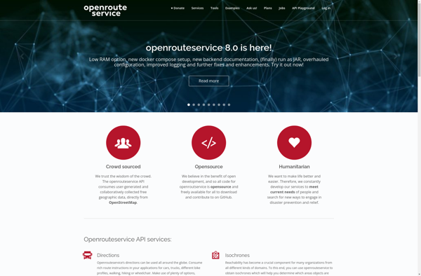
OpenRouteService.org is an open source routing service that provides driving, walking and cycling route planning and navigation. It is focused on flexibility, modularity and high performance for medium to large scale applications.
Open Route Service org is an open source routing service providing driving walking and cycling route planning and navigation with focus on flexibility modularity and high performance for medium to large scale applications.
What is OpenRouteService.org?
OpenRouteService.org (ORS) is an open source routing service developed by HeiGIT (Heidelberg Institute for Geoinformation Technology) at Heidelberg University. It provides services for route planning and navigation for various modes of transportation including driving, walking, and cycling.
Some key features of ORS include:
Supports route planning and navigation for driving cars, riding bicycles and walking
Global coverage with focus on Europe, North America, Australia and New Zealand
Flexible and modular architecture allowing customization and extension
High performance suitable for integration into medium to large scale applications
Open source server application based on Java and PostgreSQL/PostGIS
Public demo server available for testing purposes
Developer-friendly APIs for integration into third-party applications
ORS is well-suited for developers looking for a self-hosted, customizable routing engine for their applications. The open source model provides full flexibility in terms of modifications and extensions. The performance characteristics also allow it to scale for high traffic applications.
OpenRouteService.org Features
Features
Provides driving, walking and cycling route planning
Uses open data from OpenStreetMap
Modular microservice architecture
Flexible configuration of routing profiles
High performance for medium to large scale applications
Pricing
Open Source
Pros
Free to use
Open source code can be customized
Uses community maintained OpenStreetMap data
More flexible than other routing services
Scales well for high traffic applications
Cons
Limited user-facing features compared to commercial alternatives
Requires technical expertise to setup and configure
Routing quality depends on OpenStreetMap data completeness
Google Maps is a web mapping platform and consumer application offered by Google. It offers satellite imagery, aerial photography, street maps, 360° interactive panoramic views of streets, real-time traffic conditions, and route planning for traveling by foot, car, bicycle and air, or public transportation.Key features of Google Maps include:Interactive street...
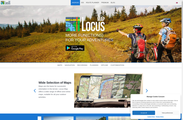
Locus Map is a feature-rich GPS navigation and tracking app designed specifically for outdoor activities like hiking, geocaching, cycling, and more. It works offline for reliability and lets you download detailed topographic and cycling maps to navigate on the go when data connectivity is limited.Key features include:Offline topographic, cycling, and...
TransforMap is a free, open-source mind mapping and brainstorming software. It allows users to visually organize ideas, tasks, projects, and other information with the flexibility of a mind map interface.With TransforMap, users can:Create branching mind maps to break down large concepts and projects into an organized structureConnect related topics, ideas,...
Planet Labs is an earth imaging company founded in 2010 and based in San Francisco, California. They operate the world's largest commercial satellite constellation with over 200 satellites in orbit, collecting imagery of the entire land mass of the Earth every day.Their high revisit rate and global coverage allows them...
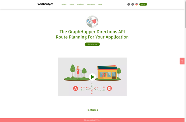
GraphHopper is an open-source Java-based routing engine optimized for speed and memory efficiency. It uses road network data from OpenStreetMap to calculate the best route between locations for various modes of transportation including driving cars, riding bikes, walking, and more.Some key features of GraphHopper include:Fast routing calculations thanks to its...
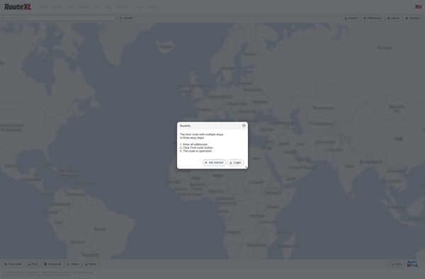
RouteXL is an advanced route planning and optimization software designed to help businesses that need to plan delivery routes and driver schedules. It is used by companies ranging from small local delivery services to large national shippers and distributors.The key capabilities and benefits of RouteXL include:Intuitive route mapping interface -...
TomTom MyDrive is a free desktop and mobile app that interfaces with TomTom GPS navigation devices to provide expanded features and functionality. With MyDrive, users can plan routes and destinations on their computer, tablet, or phone and seamlessly send that information to their TomTom device.Key features of TomTom MyDrive include:Updated...
GPS Navigator is a feature-rich navigation and maps app for Android and iOS that is focused on providing accurate turn-by-turn directions even when offline. It sets itself apart by offering free offline map downloads for over 200 countries and territories worldwide, meaning you can navigate unfamiliar areas without racking up...
Mobile GMaps is a mobile app developed by Google that brings the capabilities of Google Maps to your smartphone or tablet. It allows you to access many of the popular features of Google Maps on the go.Some of the key things you can do with Mobile GMaps include:View interactive maps...