Topo Maps+
Topo Maps+: Topographic Map App for iOS Devices
High-quality topographic maps for hiking, camping, hunting, and outdoor activities, available offline on iOS devices.
What is Topo Maps+?
Topo Maps+ is a topographic map application designed specifically for iOS devices like the iPhone and iPad. It provides detailed, high-quality topographic hiking maps that can be used offline while exploring the outdoors.
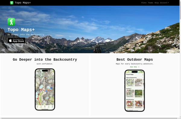
With Topo Maps+, users can download detailed maps by state and region for access even without cell or WiFi connectivity. The maps include important topographic features like contour lines, landmarks, trails, bodies of water, forests, terrain details and more. This makes Topo Maps+ ideal for hikers, campers, hunters, and anyone else planning outdoor recreational activities.
Some key features of Topo Maps+ include:
- Downloadable offline topographic maps with terrain contours, landmarks, roads, trails, and recreation sites
- Quick and intuitive map browsing and zooming
- Ability to easily track your real-time GPS location, even when offline
- Measurement tools for calculating distance and elevation profiles
- Import/export GPX tracks and share routes with others
- Integration with other apps like Apple Health, Gaia GPS and more
With its focus on detailed offline topographic maps, long battery life and GPS capability, Topo Maps+ is an excellent application for outdoor recreationalists who want accurate terrain mapping in remote areas without relying on cell or internet access.
Topo Maps+ Features
Features
- Offline topographic maps
- High resolution terrain maps
- GPS tracking
- Waypoint management
- Route planning
- Elevation profiles
- 3D flyovers
Pricing
- Subscription-Based
Pros
Cons
Official Links
Reviews & Ratings
Login to ReviewThe Best Topo Maps+ Alternatives
View all Topo Maps+ alternatives with detailed comparison →
Top Travel & Location and Maps & Navigation and other similar apps like Topo Maps+
ViewRanger

Hiking with Geeks