Polarsteps
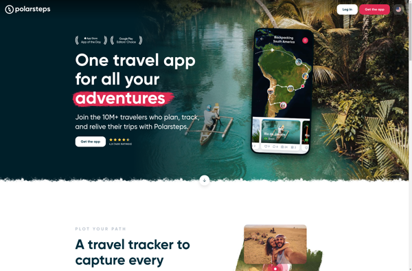
Polarsteps: Travel Tracking & Sharing App
Map your journey, add photos and notes at places you visit, and share your trip with friends, family, and followers in a visual journal format - available for iOS and Android.
What is Polarsteps?
Polarsteps is a travel tracking and sharing app designed to document trips and journeys in an easy, automated way. The app uses GPS tracking to map out the user's route, requiring no manual input of locations or place names. As the user travels around, Polarsteps records their path on a map.
At any point, the user can open the app and add photos, notes, likes, and details about the places they have been. These are pinned to the map to document the journey. Friends and followers can view the trip journal to see the mapped route alongside photos, text, stats, and more.
After the trip, Polarsteps generates a visual, interactive journal showing the user's itinerary on a map along with all added media and text. This makes it easy to reminisce about past trips or share the highlights with others. The app community aspect allows users to follow one another's trips as they happen in real time or read about them after the fact.
Overall, Polarsteps aims to eliminate the hassle of manually tracking locations, routes, and trip details by using automated GPS tracking. It focuses on making trip journaling and sharing simple, letting the traveler focus on their experiences while the app handles recording the where, when, and what.
Polarsteps Features
Features
- GPS location tracking
- Photo, text, and note logging
- Interactive map of route
- Social sharing and following
- Trip journal creation
Pricing
- Freemium
- Subscription-Based
Pros
Cons
Official Links
Reviews & Ratings
Login to ReviewThe Best Polarsteps Alternatives
Top Travel & Location and Trip Planning & Tracking and other similar apps like Polarsteps
Here are some alternatives to Polarsteps:
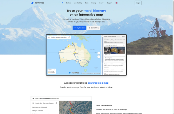
Suggest an alternative ❐TravelMap
Tripoto
Hoptale

Roadtrippers

FindPenguins

TravelPeri

Roaded
Deens
Vivere.travel

JPlanner
Rove.me
