plus.codes is an open source addressing system by Google that assigns a short, user-friendly code to any location for use in addressing and navigation. It works offline and across geographies.
An open source addressing system by Google that assigns a short, user-friendly code to any location for use in addressing and navigation, working offline and across geographies.
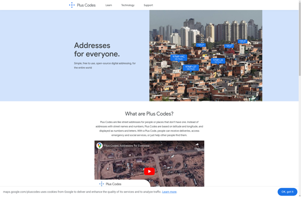
What is Plus.codes?
plus.codes is an open-source addressing system developed by Google that assigns a short alphanumeric code to any location on earth. It can be used for addressing and navigation purposes.
Some key features of plus.codes:
Easy to use, remember and communicate - plus codes are much shorter and simpler than street addresses
Works offline - plus codes don't require an internet connection to use once generated
Precise - accurate to a few meters and can designate specific entrances or plots
Universal - works globally across geographies
Open source - free for anyone to use in their solutions
Plus codes can be especially useful in locations that don't have established addressing systems. They provide a standardized way to precisely identify any location. Some applications include:
Accurate navigation in remote areas or emergencies
Routing deliveries in rural or newly developed areas
Providing accurate location on profiles or résumés
Geotagging data or events at a granular level
Overall, plus codes offer an easy way to communicate locations that lacks complexity and barriers to access compared to latitude/longitude or street addresses.
Plus.codes Features
Features
Assign short, user-friendly codes to any location
Works offline and across geographies
Open source addressing system by Google
Can be used for addressing and navigation
Pricing
Free
Pros
Free to use
Offline functionality
Global coverage
Simple and easy to use
Cons
Limited adoption compared to traditional address systems
May not be recognized by all services and applications
QGIS is a professional open-source Geographic Information System (GIS) software for working with maps and geospatial data. It is licensed under the GNU Public License. QGIS allows you to view, edit, analyze, process, and visualize spatial data in various formats including shapefiles, GeoTIFFs, PostGIS, SpatiaLite, GPX, and more. It supports...
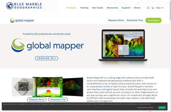
Global Mapper is a powerful and easy-to-use Geographic Information System (GIS) software application for working with spatial data. Developed by Blue Marble Geographics, it supports a wide range of raster, vector, and elevation data formats allowing users to integrate spatial data from different sources for viewing, editing, analysis and conversion.Key...
ArcGIS is a robust and comprehensive geographic information system (GIS) software developed by Esri. It provides a range of capabilities for creating, managing, analyzing, and sharing geospatial data and maps across desktop, mobile, web, and enterprise systems.Key features of ArcGIS include:Advanced geospatial analysis tools for proximity analysis, geocoding, routing, terrain...
SAGA GIS (System for Automated Geoscientific Analyses) is a free and open source geographic information system (GIS) software used for editing and analyzing spatial data. It contains a large set of geoscientific analysis functions and utilities for managing vector, raster and table data.Some key features of SAGA GIS include:Support for...
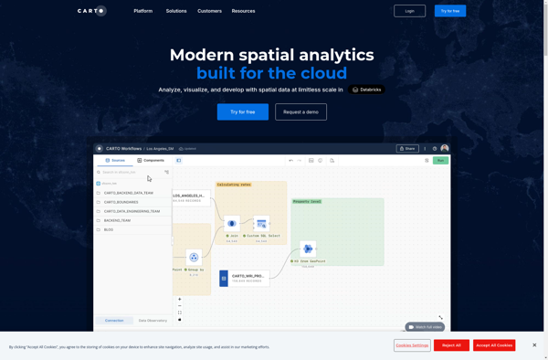
CartoDB is an open source platform for building location intelligence applications. It provides capabilities for spatial data storage, visualization, analysis, and publishing. Key features include:User-friendly drag and drop interface for creating interactive maps and dashboardsVisualization of geospatial datasets such as points, lines, and polygonsOptions for customizing maps with different basemaps,...
what3words is a geocoding system that has divided the world into 3 meter squares and assigned each square a unique 3 word identifier. For example, the square that contains the front door of 10 Downing Street in London has been assigned the 3 word address ///slurs.this.shark.This system allows people to...
MICRODEM is an open source Geographic Information System (GIS) software application designed specifically for analyzing and modeling terrain data. It was originally developed in the 1990s by Peter Guth of the United States Naval Academy.Some of the key features and capabilities of MICRODEM include:Specialized analysis and modeling functions for hydrological,...
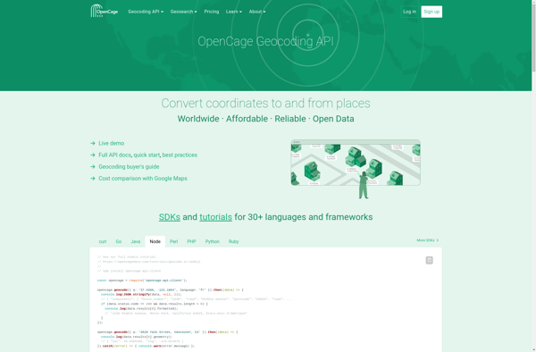
OpenCage Geocoder is an open-source geocoding API service that converts addresses, place names and other location references into geographic coordinates (latitude and longitude). It allows developers to add location search and reverse geocoding features to their applications.Some key features of OpenCage Geocoder include:Forward geocoding - convert locations like 'New York...
Mapnik is an open-source toolkit for developing mapping applications. It provides the functionality to take spatial data inputs, apply cartographic styling rules and symbolization, and render high-quality maps.Some key features and capabilities of Mapnik include:Access to many common spatial data formats such as shapefiles, PostGIS, SQLite, GeoJSON, KML, and others.Flexible...
GRASS GIS (Geographic Resources Analysis Support System) is a free and open source geographic information system (GIS) software suite used for geospatial data management, analysis, graphics and maps production, spatial modeling, and visualization.Some key features of GRASS GIS include:Powerful raster, vector, and geospatial processing tools for analysis and data conversionAbility...
Mapline is an open-source, self-hosted web application that allows users to create custom maps for free. It is an alternative to proprietary services like Google My Maps.Some key features of Mapline include:Ability to add markers, lines, shapes, and text notes to your mapsSupport for multiple layers on a single mapOptions...
Maptitude is a desktop Geographic Information System (GIS) software developed by Caliper Corporation. It provides tools for creating interactive maps, performing spatial analysis, managing geographic data, and generating reports.Key features of Maptitude include:Interactive mapping - Allows users to create professional-quality maps with layers, labels, scale bars, north arrows, etc.Data visualization...
GeniusGIS is an open-source geographic information system (GIS) software application used for creating, editing, visualizing, analyzing and publishing geospatial data. It provides a user-friendly interface and powerful tools for working with maps and geographic information.Some key features of GeniusGIS include:Interactive map creation and editingAdvanced geospatial analysis and modeling toolsSupport for...
3geonames is an open source gazetteer web service that provides access to a large database of geographical names and features from around the world. It allows users to search for places and locations by name, postal code, IP address and other identifiers to get relevant geographic data.Some of the key...
ESRI Geoportal Server is an open source software application used to stand up geospatial clearinghouse portals for managing and discovering metadata and associated geospatial resources. It provides a standards-based metadata catalog that allows users to publish, search, and access geospatial resources such as datasets, rasters, and web services.Key features of...