OpenCage Geocoder
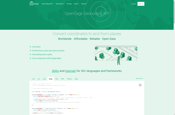
OpenCage Geocoder: Open Source Geocoding API
OpenCage Geocoder is an open source geocoding API that converts addresses and locations into geographic coordinates. It offers forward and reverse geocoding, auto-complete suggestions, and proximity searches. The API is easy to integrate and offers generous free usage limits.
What is OpenCage Geocoder?
OpenCage Geocoder is an open-source geocoding API service that converts addresses, place names and other location references into geographic coordinates (latitude and longitude). It allows developers to add location search and reverse geocoding features to their applications.
Some key features of OpenCage Geocoder include:
- Forward geocoding - convert locations like 'New York City' into geographic coordinates
- Reverse geocoding - convert geographic coordinates into meaningful location names like 'Empire State Building, New York City'
- Auto-complete suggestions for partial location queries
- Proximity searches to find places near a set of coordinates
- Open source API with generous free usage limits
- Easy integration into apps with bindings for many programming languages
- Pay-as-you-go pricing model for high-volume usage
Overall, OpenCage Geocoder is a reliable, easy-to-use geocoding and reverse geocoding API suitable for independent developers and startups. Its open source nature, free tier and simple integration make it easy to add powerful location search features into any application.
OpenCage Geocoder Features
Features
- Forward and reverse geocoding
- Auto-complete suggestions
- Proximity searches
- Open source API
- Generous free usage limits
- Easy integration
Pricing
- Freemium
Pros
Cons
Official Links
Reviews & Ratings
Login to ReviewThe Best OpenCage Geocoder Alternatives
View all OpenCage Geocoder alternatives with detailed comparison →
Top Travel & Location and Geocoding & Mapping and other similar apps like OpenCage Geocoder
Here are some alternatives to OpenCage Geocoder:
Suggest an alternative ❐Nominatim
What3words

Google Maps API for Business
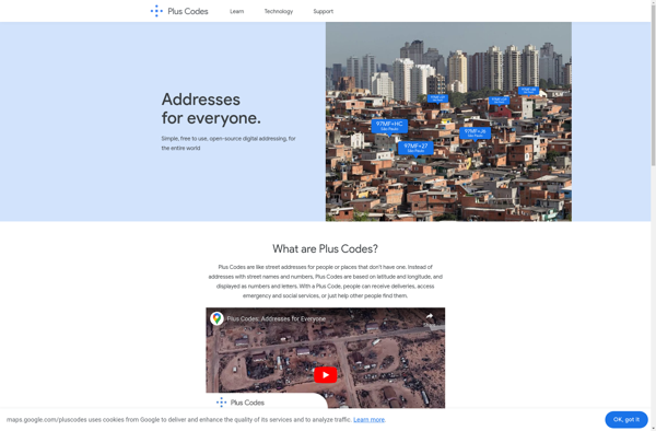
Plus.codes
Photon Geocoder
Bing Map API