Photon Geocoder
Photon Geocoder is an open-source, self-hosted geocoding engine that can quickly translate locations like addresses, cities, or countries into geographic coordinates. It is designed to handle large volumes of geocoding requests.
Photon Geocoder: Open-Source Geocoding Engine
A self-hosted solution for fast and efficient geocoding, handling large volumes of location-based requests with geographic coordinates.
What is Photon Geocoder?
Photon Geocoder is an open-source geocoding engine developed by Komoot that can translate addresses, place names, and other location data into geographic coordinates like latitude and longitude. It is designed to be self-hosted and handle high volumes of geocoding requests efficiently.
Some key features of Photon Geocoder include:
- Self-hosted - You download and run the geocoder yourself instead of relying on a third-party geocoding API.
- High performance - Photon uses pre-calculated data indexes that result in very fast response times even with many concurrent requests.
- Global coverage - Works with global address and place name data from OpenStreetMap.
- API and UI - Provides both a JSON API as well as a user interface for manual lookups.
- Caches results - Caches frequently requested data in memory to improve performance.
- Configurable - Lets you tweak settings like search radius, results limit, etc.
Overall, Photon Geocoder is a great option for developers needing an on-premises, high-scale geocoding solution that can handle demanding workloads while keeping response times fast. Its open-source nature provides transparency and flexibility as well.
Photon Geocoder Features
Features
- Supports geocoding of addresses, cities, countries into geographic coordinates
- Open source and self-hosted, allowing for customization and control over data
- Built to handle large volumes of geocoding requests with high performance
- Provides both forward and reverse geocoding capabilities
- Allows for easy data imports from open data sources
- Has RESTful API for integration into other applications
- Offers command line interface and web interface options
- Works with PostGIS spatial database for storage
Pricing
- Open Source
Pros
Free and open source
Fast performance for high request volumes
Customizable to specific use cases
Self-hosted provides data privacy and control
Active development community
Cons
Requires more technical expertise to set up and manage
Limited out-of-the-box geodata sources
Not as feature rich as some paid alternatives
Lacks official support services
Official Links
Reviews & Ratings
Login to ReviewThe Best Photon Geocoder Alternatives
Top Ai Tools & Services and Geocoding and other similar apps like Photon Geocoder
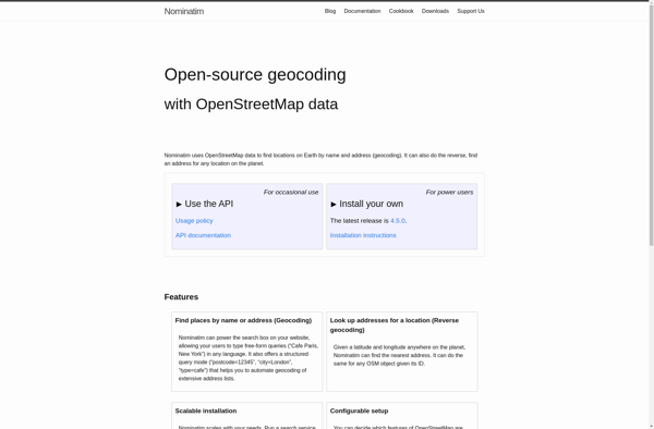
Nominatim
Nominatim is an open source geocoding tool developed by the OpenStreetMap community. It utilizes OpenStreetMap data to enable searching for places and addresses and converting them into geographic coordinates (latitude and longitude). Some key features of Nominatim include:Reverse geocoding - convert geographic coordinates into meaningful addresses and locationsForward geocoding -...

OpenCage Geocoder
OpenCage Geocoder is an open-source geocoding API service that converts addresses, place names and other location references into geographic coordinates (latitude and longitude). It allows developers to add location search and reverse geocoding features to their applications.Some key features of OpenCage Geocoder include:Forward geocoding - convert locations like 'New York...
