Google Maps API for Business provides customizable Google Maps with advanced features like custom styling, enhanced data layers, and privacy controls for business websites and applications. It allows for greater customization and control over the map interface.
Google Maps API for Business: Customizable Business Maps
Get advanced Google Maps features like custom styling, enhanced data layers, and privacy controls for business websites and applications with Google Maps API for Business.
What is Google Maps API for Business?
The Google Maps API for Business is a paid version of the Google Maps API targeted at business users. It provides additional features and services beyond the free Google Maps API, such as:
Custom styling options - Businesses can customize the look and feel of maps to match their brand.
Enhanced data layers - Additional data layers like weather, traffic, and places data can be layered on top of maps.
Greater usage limits - Higher usage limits allow building map-heavy applications to support more users.
Privacy controls - Businesses can disable certain interactions like panning/zooming and block external API usage to protect sensitive data shown on maps.
Premium support - Google offers enhanced customer support for Maps API for Business users.
The Google Maps API for Business is optimized for enterprise use cases like asset tracking, logistics optimization, business visibility, and workforce productivity. With customizable maps and high usage allowances, it can power map-centric business applications. The API provides finer access controls compared to the free Standard plan to secure sensitive data.
Google Maps is a web mapping platform and consumer application offered by Google. It offers satellite imagery, aerial photography, street maps, 360° interactive panoramic views of streets, real-time traffic conditions, and route planning for traveling by foot, car, bicycle and air, or public transportation.Key features of Google Maps include:Interactive street...
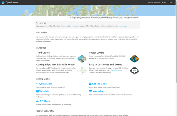
OpenLayers is an open source JavaScript library for displaying map data in web browsers. It provides an API for building rich web-based geographic applications.Some key features of OpenLayers include:Supports displaying map tiles and vector data from any sourceIncludes zooming, panning, layer switching controls out of the boxExtensive API for programatically...
Mapbox Studio is a powerful desktop application for designing custom map styles. It provides a graphical user interface that allows you to visually style vector tiles created with Mapbox tools and services.Some key features of Mapbox Studio include:Import vector tilesets created with Mapbox tools like Mapbox Streets and SatelliteStyle map...
Felt is an open-source web-based application for kanban-style project management and task tracking. It provides a visual interface for organizing tasks into pipelines represented as boards, lists, and cards.Some key features of Felt include:Boards to organize projects and track progress across different stagesCustom lists within each board to categorize tasks...
OpenMapTiles is an open-source project that provides software and data to self-host various mapping services and capabilities. Some of the key components and capabilities include:Vector and raster map tiles - OpenMapTiles provides scripts and data to generate your own map tile sets including OpenStreetMap data. This allows hosting them yourself...
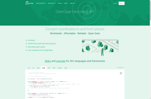
OpenCage Geocoder is an open-source geocoding API service that converts addresses, place names and other location references into geographic coordinates (latitude and longitude). It allows developers to add location search and reverse geocoding features to their applications.Some key features of OpenCage Geocoder include:Forward geocoding - convert locations like 'New York...
TomTom MyDrive is a free desktop and mobile app that interfaces with TomTom GPS navigation devices to provide expanded features and functionality. With MyDrive, users can plan routes and destinations on their computer, tablet, or phone and seamlessly send that information to their TomTom device.Key features of TomTom MyDrive include:Updated...
Mapline is an open-source, self-hosted web application that allows users to create custom maps for free. It is an alternative to proprietary services like Google My Maps.Some key features of Mapline include:Ability to add markers, lines, shapes, and text notes to your mapsSupport for multiple layers on a single mapOptions...
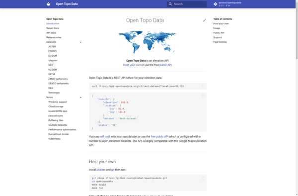
Open Topo Data is a free, open-source topographic map dataset that covers the entire continental United States. It is developed and maintained by volunteers with the goal of providing high-quality topographic data for public use.The dataset includes detailed vector-based mapping data such as contours, hydrography, landcover, transportation, boundaries, structures, and...
MapTiler Cloud is a cloud-based solution that allows users to create, style, optimize and deliver map tiles for web and mobile applications. Some key features include:Upload your own geospatial data like satellite/aerial imagery, DEMs, shapefiles, KMLs etc.Tiling engine that efficiently slices geospatial data into map tiles for zoom levelsMap styling...
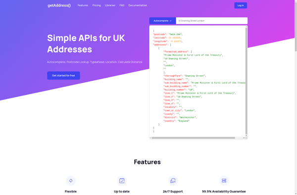
getAddress.io is a free web-based address validation service designed to provide accurate, standardized mailing addresses for over 40 countries worldwide including the United States, Canada, United Kingdom and Australia. It utilizes regularly updated postal address databases to validate addresses entered by users, correcting any errors and formatting them to comply...
TomTom Maps APIs are a suite of RESTful APIs that give developers access to TomTom's industry-leading mapping and traffic data. The APIs allow developers to tap into TomTom's global database of maps, routing intelligence, search capability, and real-time traffic information.Some key features of TomTom Maps APIs include:Routing API - Calculates...
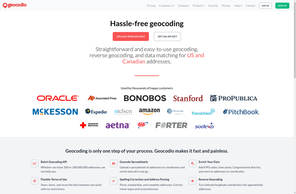
Geocodio is a geocoding and reverse geocoding web service API designed to help developers add location data and mapping capabilities to their applications. The API converts street addresses and locations into geographic coordinates (latitude and longitude) and vice versa through a simple HTTP request interface.Some key features of Geocodio include:Geocoding...
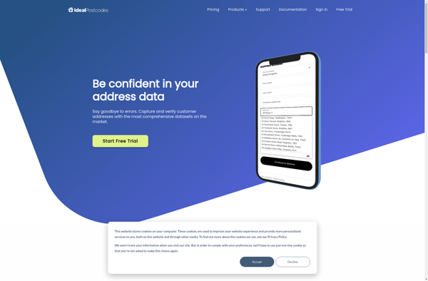
Ideal Postcodes is a software-as-a-service company that specializes in UK address data and validation. Their main product is an address lookup and validation API that can be integrated into web forms, order processing systems, and other applications that collect or utilize postal addresses.Some key features of Ideal Postcodes include:UK address...
Crafty Clicks is a powerful yet easy-to-use click funnel and landing page builder designed for small businesses, online coaches, course creators, affiliates marketers, and entrepreneurs. With its intuitive drag and drop interface, anyone can create professional, high-converting sales funnels and landing pages in minutes without any technical skills.It comes packed...
The Map Kit Framework is an iOS and macOS SDK that allows developers to embed interactive maps and location-based services into their applications with ease. Developed by Apple, it integrates tightly with Apple's platforms and devices, providing efficient use of system resources.Some key capabilities offered by Map Kit include:Displaying standard,...