Open Topo Data
Open Topo Data: Open-Source US Topographic Map Dataset
Open-source topographic map dataset covering the entire United States, providing detailed terrain and landcover information for mapping and geospatial analysis.
What is Open Topo Data?
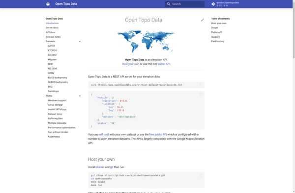
Open Topo Data is a free, open-source topographic map dataset that covers the entire continental United States. It is developed and maintained by volunteers with the goal of providing high-quality topographic data for public use.
The dataset includes detailed vector-based mapping data such as contours, hydrography, landcover, transportation, boundaries, structures, and more. The data uses USGS topographic map standards and symbology for consistency and interoperability.
Some key features and uses of Open Topo Data include:
- Enables mapping and geospatial analysis with accurate, up-to-date terrain information
- Compatible with major GIS software for easy integration into projects and workflows
- Support for high-resolution printing and image rendering
- Base data for 3D visualization and land modeling
- Outdoor recreation planning, land management, and scientific study
The project is open source so the dataset can be freely used, modified, and redistributed. Community contributions help improve coverage and detail across the country.
Open Topo Data Features
Features
- High resolution elevation data covering the entire United States
- Derived from raw lidar data and other public sources
- Available in a variety of formats including GeoTIFF, ESRI ASCII Grid, and more
- Data can be easily integrated into GIS software and other applications
Pricing
- Open Source
Pros
Cons
Official Links
Reviews & Ratings
Login to ReviewThe Best Open Topo Data Alternatives
View all Open Topo Data alternatives with detailed comparison →
Top Travel & Location and Maps & Navigation and other similar apps like Open Topo Data
Google Maps

Universal Maps Downloader

Google Maps API for Business

TomTom MyDrive

Bing Map API

TomTom Maps APIs
