Geocodio is a geocoding and reverse geocoding API that turns addresses into geographic coordinates and vice versa. It allows developers to add location data and mapping features to applications. The API is easy to integrate and offers flexible pricing plans.
Geocodio is a geocoding and reverse geocoding API that turns addresses into geographic coordinates and vice versa, allowing developers to add location data and mapping features to applications with easy-to-integrate APIs and flexible pricing plans.
What is Geocodio?
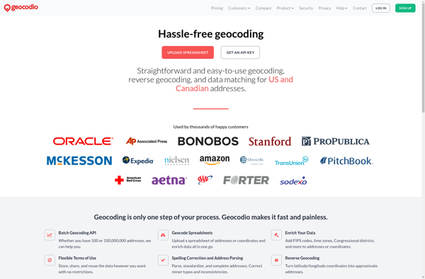
Geocodio is a geocoding and reverse geocoding web service API designed to help developers add location data and mapping capabilities to their applications. The API converts street addresses and locations into geographic coordinates (latitude and longitude) and vice versa through a simple HTTP request interface.
Some key features of Geocodio include:
Geocoding of US and international addresses with high accuracy
Reverse geocoding to find addresses and locations based on coordinates
Batch geocoding for handling multiple addresses in one API call
Autocomplete to provide address suggestions as users type
POI data with information on nearby points of interest
US Census data enrichment with details like congressional districts, income levels, etc.
Flexible usage-based pricing without monthly minimum fees
Easy integration into web, mobile, and desktop applications
JSON, XML, and CSV output formats
Intuitive REST API with thorough documentation and code libraries for many programming languages
With its focus on developer efficiency, versatility and value, Geocodio provides an effective geocoding and location data platform for startups, agencies and larger organizations alike. The API documentation makes it simple for any development team to get up and running quickly.
Geocodio Features
Features
Geocoding API to convert addresses to geographic coordinates
Reverse geocoding to convert coordinates to addresses
Google Maps is a web mapping platform and consumer application offered by Google. It offers satellite imagery, aerial photography, street maps, 360° interactive panoramic views of streets, real-time traffic conditions, and route planning for traveling by foot, car, bicycle and air, or public transportation.Key features of Google Maps include:Interactive street...
Mapbox Studio is a powerful desktop application for designing custom map styles. It provides a graphical user interface that allows you to visually style vector tiles created with Mapbox tools and services.Some key features of Mapbox Studio include:Import vector tilesets created with Mapbox tools like Mapbox Streets and SatelliteStyle map...
Mapotic is an open-source, self-hosted alternative to Mapbox that provides developers and designers with tools for creating interactive maps. Some key features of Mapotic include:Ability to design custom base maps with Mapnik and CartoCSSSupport for overlaying vector and raster map tiles from various sourcesTools for visualizing, analyzing, and processing geospatial...
Universal Maps Downloader is a free and open source software application that provides the ability to download map images from various popular online map services, including Google Maps, Bing Maps, OpenStreetMap, MapQuest, Yandex Maps, and more.Some key features of Universal Maps Downloader:Supports downloading map images at various zoom levels ranging...
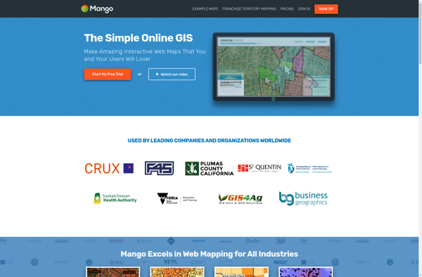
MangoMap is an intuitive yet powerful online mind mapping and brainstorming software. It enables individuals and teams to visually organize ideas, concepts, notes, tasks, and more into flexible and customizable maps.Key features of MangoMap include:Simple and easy-to-use interface - No need for training, anyone can start creating maps right awayReal-time...
The Google Maps API for Business is a paid version of the Google Maps API targeted at business users. It provides additional features and services beyond the free Google Maps API, such as:Custom styling options - Businesses can customize the look and feel of maps to match their brand.Enhanced data...
TomTom MyDrive is a free desktop and mobile app that interfaces with TomTom GPS navigation devices to provide expanded features and functionality. With MyDrive, users can plan routes and destinations on their computer, tablet, or phone and seamlessly send that information to their TomTom device.Key features of TomTom MyDrive include:Updated...
Mapline is an open-source, self-hosted web application that allows users to create custom maps for free. It is an alternative to proprietary services like Google My Maps.Some key features of Mapline include:Ability to add markers, lines, shapes, and text notes to your mapsSupport for multiple layers on a single mapOptions...