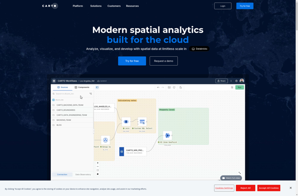
CartoDB is an open source platform for building location intelligence applications. It allows users to visualize geospatial data and perform spatial analysis through an easy to use drag-and-drop interface. Key capabilities include mapping, analysis, and sharing of geospatial data
CartoDB: Open Source Location Intelligence Platform
CartoDB is an open source platform for building location intelligence applications. It allows users to visualize geospatial data and perform spatial analysis through an easy to use drag-and-drop interface. Key capabilities include mapping, analysis, and sharing of geospatial data.
What is CartoDB?
CartoDB is an open source platform for building location intelligence applications. It provides capabilities for spatial data storage, visualization, analysis, and publishing. Key features include:
User-friendly drag and drop interface for creating interactive maps and dashboards
Visualization of geospatial datasets such as points, lines, and polygons
Options for customizing maps with different basemaps, styles, widgets, and other elements
Spatial analysis functions like heatmaps, clustering, and targeted marketing campaigns
APIs for developers to integrate location intelligence into applications
Data Observatory dataset with thousands of valuable geospatial datasets
Hosted cloud infrastructure or on-premises enterprise installation options
CartoDB allows individuals and organizations to unlock insights from location data. Its flexibility supports use cases ranging from basic mapping and visualization to advanced spatial analytics. An intuitive interface makes CartoDB accessible to GIS beginners while expert users have access to more complex functionality and customization.
CartoDB Features
Features
Drag-and-drop interface for visualizing geospatial data
Built-in spatial analysis and geocoding capabilities
Ability to create interactive maps and dashboards
Integration with PostgreSQL/PostGIS for managing spatial data
APIs for building custom location-based applications
Cloud hosting and sharing options available
Pricing
Free
Freemium
Subscription-Based
Pros
Intuitive and easy to use
Powerful spatial analysis functions
Scales to large geospatial datasets
Great for non-GIS experts to build mapping apps quickly
Active open source community support
Cons
Limited customization compared to traditional GIS software
QGIS is a professional open-source Geographic Information System (GIS) software for working with maps and geospatial data. It is licensed under the GNU Public License. QGIS allows you to view, edit, analyze, process, and visualize spatial data in various formats including shapefiles, GeoTIFFs, PostGIS, SpatiaLite, GPX, and more. It supports...
Mapbox Studio is a powerful desktop application for designing custom map styles. It provides a graphical user interface that allows you to visually style vector tiles created with Mapbox tools and services.Some key features of Mapbox Studio include:Import vector tilesets created with Mapbox tools like Mapbox Streets and SatelliteStyle map...
Felt is an open-source web-based application for kanban-style project management and task tracking. It provides a visual interface for organizing tasks into pipelines represented as boards, lists, and cards.Some key features of Felt include:Boards to organize projects and track progress across different stagesCustom lists within each board to categorize tasks...
what3words is a geocoding system that has divided the world into 3 meter squares and assigned each square a unique 3 word identifier. For example, the square that contains the front door of 10 Downing Street in London has been assigned the 3 word address ///slurs.this.shark.This system allows people to...
IndieMapper is an open source, offline-capable web map editor tailored for field mappers and humanitarians. It provides an intuitive and easy-to-use interface for collecting, editing, analyzing and exporting geographic data without an internet connection.Some key features of IndieMapper include:Works completely offline for areas with limited connectivityOpenStreetMap-based base maps with global...
SpatiaLite is an open source spatial database extender for SQLite that adds support for geographic objects. It enables SQLite to be used as a full-featured spatial database by adding spatial data types, functions, and necessary infrastructure.Some key features of SpatiaLite include: Implements Spatial SQL capabilities as defined by OGC Supports...
Google Maps Engine is a cloud-based mapping platform launched by Google in 2012. It allows users to store, visualize and share geographic data by creating custom maps.Some key features of Google Maps Engine include:Ability to upload spreadsheet data, KML files, geoJSON files to create layers on a mapConnect to external...
PostGIS is an open source software program that adds support for geographic objects to the PostgreSQL object-relational database. PostGIS follows the Simple Features for SQL specification from the Open Geospatial Consortium (OGC). This enables PostgreSQL to store, query, and manipulate spatial data efficiently.Key capabilities and features of PostGIS include:Implements spatial...
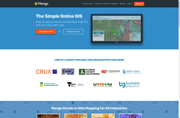
MangoMap is an intuitive yet powerful online mind mapping and brainstorming software. It enables individuals and teams to visually organize ideas, concepts, notes, tasks, and more into flexible and customizable maps.Key features of MangoMap include:Simple and easy-to-use interface - No need for training, anyone can start creating maps right awayReal-time...
Mapline is an open-source, self-hosted web application that allows users to create custom maps for free. It is an alternative to proprietary services like Google My Maps.Some key features of Mapline include:Ability to add markers, lines, shapes, and text notes to your mapsSupport for multiple layers on a single mapOptions...
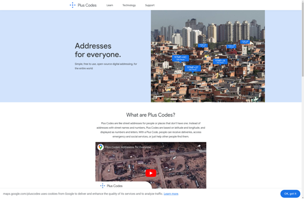
plus.codes is an open-source addressing system developed by Google that assigns a short alphanumeric code to any location on earth. It can be used for addressing and navigation purposes.Some key features of plus.codes:Easy to use, remember and communicate - plus codes are much shorter and simpler than street addressesWorks offline...
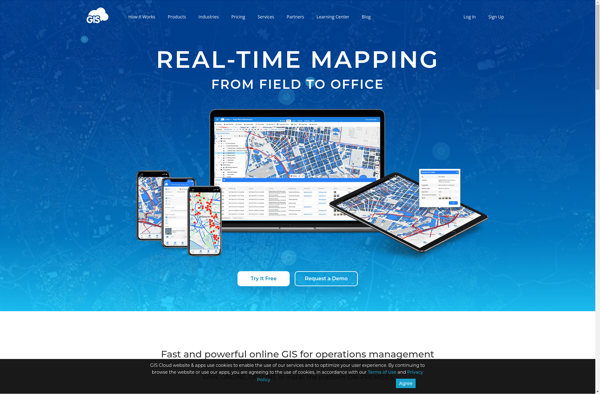
GIS Cloud is a feature-rich, cloud-based geographic information system (GIS) software designed for organizations of all sizes. It enables users to easily create, edit, analyze, and publish geospatial data through an intuitive web interface and mobile apps.Key capabilities and benefits of GIS Cloud include:Interactive web map building with access to...
MapTiler Cloud is a cloud-based solution that allows users to create, style, optimize and deliver map tiles for web and mobile applications. Some key features include:Upload your own geospatial data like satellite/aerial imagery, DEMs, shapefiles, KMLs etc.Tiling engine that efficiently slices geospatial data into map tiles for zoom levelsMap styling...
CMaps Analytics is a business intelligence and data visualization platform designed to help companies unlock insights from their data. Some key capabilities and benefits include:Intuitive drag-and-drop interface to build interactive dashboards and reports without codingConnect to various data sources such as SQL, NoSQL databases, cloud apps, etc.Perform ad hoc analysis...
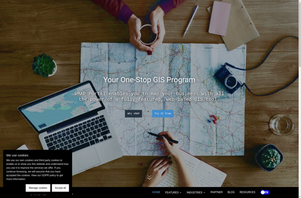
vMAP Portal is a cloud-based network topology and visualization platform used by IT teams to gain insight into their network infrastructures. It provides the following key capabilities:Automated discovery of all devices on both physical and virtual networks, including routers, switches, servers, virtual machines, firewalls, and more.Interactive network topology maps showing...
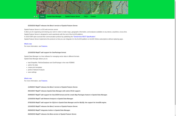
Spatial Feature Server (SFS) is an open-source web mapping software designed for publishing, editing and visualizing spatial data. It is built on open standards like WFS and WMS published by the Open Geospatial Consortium (OGC).Key capabilities and benefits of Spatial Feature Server include:Publishing vector and raster data as web servicesSupport...
GeoSHAPE is an open-source geographic information system (GIS) software application used for working with maps and geographic information. It enables users to view, create, edit, analyze, and publish geospatial data. Key features of GeoSHAPE include:Interactive mapping with support for various map projections and coordinate systemsPowerful geospatial data editing tools for...