GeoSHAPE
GeoSHAPE: Open-Source GIS Software
GeoSHAPE is open-source geographic information system (GIS) software used for mapping and spatial data analysis. It has capabilities for creating, editing, analyzing, and publishing geospatial data.
What is GeoSHAPE?
GeoSHAPE is an open-source geographic information system (GIS) software application used for working with maps and geographic information. It enables users to view, create, edit, analyze, and publish geospatial data. Key features of GeoSHAPE include:
- Interactive mapping with support for various map projections and coordinate systems
- Powerful geospatial data editing tools for creating and updating vector data layers such as points, lines, and polygons
- Spatial analysis functions including buffering, geoprocessing, geometry operations, and more
- Styling and symbolizing maps with custom fonts, colors, and symbols
- Producing high-quality cartographic map outputs and print layouts
- Support for major spatial data formats like Shapefile, GeoJSON, KML, and others
- A user-friendly graphical interface suitable for GIS professionals, students, and enthusiasts
- Custom scripting and model building using native Python tools and libraries
- An active user community providing documentation, tutorials, plugins and customizations
Overall, GeoSHAPE provides a full-featured desktop GIS environment for working with digital maps and location-based data. Its wide range of capabilities make it a popular open-source alternative to proprietary GIS software packages.
GeoSHAPE Features
Features
- Desktop GIS software for mapping and spatial analysis
- Open source and free to use
- Supports vector and raster data formats
- Allows importing/exporting data from other GIS formats
- Includes tools for geoprocessing, digitizing, geocoding
- Can produce high quality cartographic maps and layouts
- Extendable architecture to add new plugins and functions
Pricing
- Open Source
- Free
Pros
Cons
Official Links
Reviews & Ratings
Login to ReviewThe Best GeoSHAPE Alternatives
Top Education & Reference and Geographic Information Systems and other similar apps like GeoSHAPE
Here are some alternatives to GeoSHAPE:
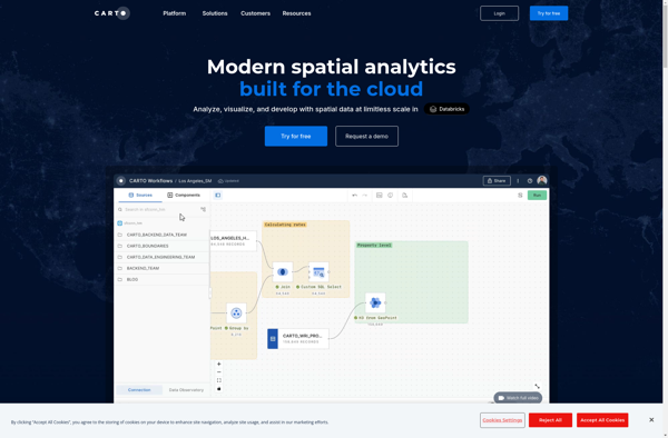
Suggest an alternative ❐CartoDB

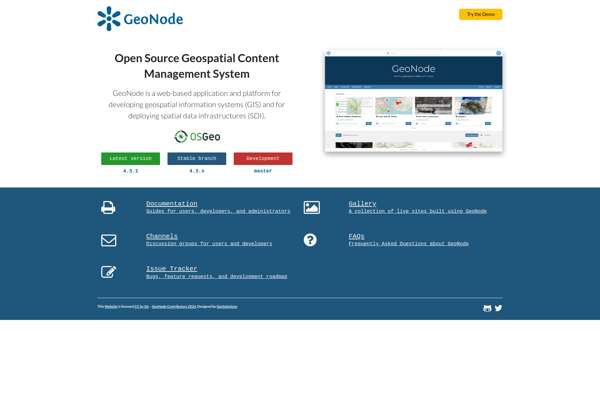
GeoNode

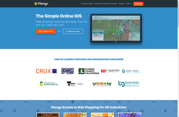
MangoMap

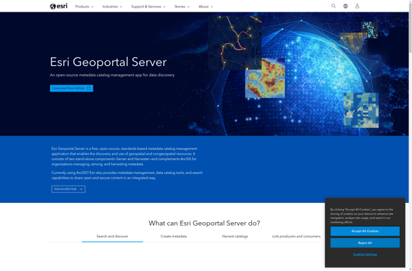
ESRI Geoportal Server
